Where is Scalasaig?
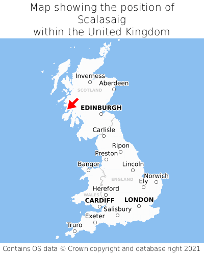
Scalasaig is located in the county of Argyll and Bute, Scotland, 29 miles west of the town of Lochgilphead, 77 miles west of the major city of Glasgow, 117 miles west of Edinburgh, 340 miles north of Cardiff, and 400 miles north-west of London. Scalasaig was historically in the county of Argyllshire. Scalasaig falls within the unitary authority of Argyll and Bute. It is in the PA61 postcode district. The post town for Scalasaig is Isle of Colonsay.
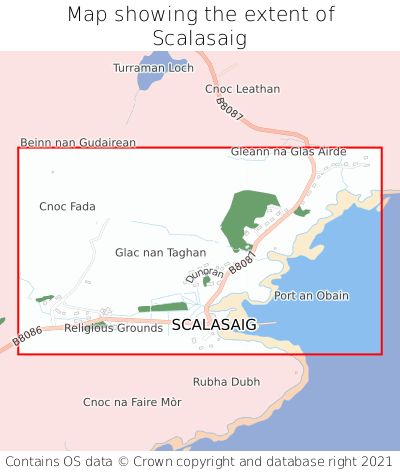
Scalasaig on a map


Which county is Scalasaig in?
Scalasaig is in the ceremonial county of Argyll and Bute, the historic county of Argyllshire, and the administrative county of Argyll and Bute.
| Ceremonial County | Argyll and Bute |
|---|---|
| Historic County | Argyllshire |
| Administrative County | Argyll and Bute |
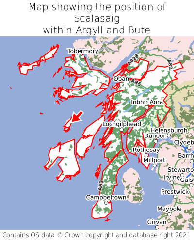
Where is Scalasaig in Argyll and Bute?
Scalasaig is situated roughly centrally between the southernmost and northernmost extremities of Argyll and Bute, and roughly centrally between the easternmost and westernmost extremities of Argyll and Bute.

What is the postcode for Scalasaig?
The nearest postcode to the centre of Scalasaig is PA61 7YZ.
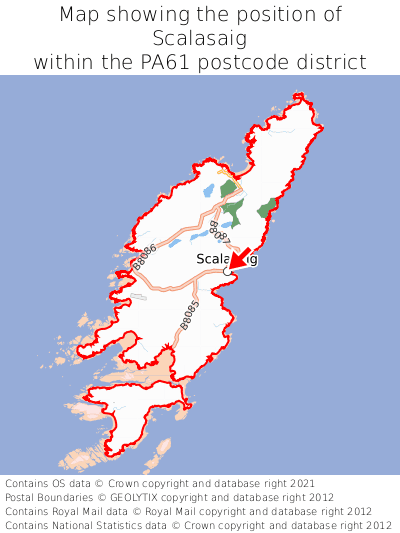
Where is Scalasaig in PA61?
Scalasaig is situated roughly centrally between the southernmost and northernmost extremities of the PA61 postcode district, and roughly centrally between the easternmost and westernmost extremities of the PA61 postcode district.

What is the post town for Scalasaig?
The post town for Scalasaig is Isle of Colonsay. Scalasaig is in the PA61 postcode district, which corresponds to the post town of Isle of Colonsay.
What is the latitude and longitude of Scalasaig?
The centre of Scalasaig is located at position 56.06864° latitude and -6.18822° longitude.
| Latitude | 56.06864° |
|---|---|
| Longitude | -6.18822° |
What is the easting and northing of Scalasaig?
The centre of Scalasaig is located at the grid reference easting 139431 and northing 694113 within the British National Grid (OSGB36) system.
| Easting | 139431 |
|---|---|
| Northing | 694113 |
What are the nearest towns to Scalasaig?
Position of Scalasaig relative to nearby towns. Distance is measured from the centre of Scalasaig to the centre of the town.
What are the nearest cities to Scalasaig?
Position of Scalasaig relative to nearby cities. Distance is measured from the centre of Scalasaig to the centre of the city.