
Flood maps
GetTheData provide flood maps for UK places and postcodes. The data we use is the Risk of Flooding from Rivers and Sea, sourced from England's Environment Agency.
We also publish the flood risk for each English postcode as open data, Open Flood Risk by Postcode.
Accessing the flood maps
Access our flood maps by typing a place or postcode in the search bar at the top of the page.
Or you can use the below drilldowns:
Examples
The below static screenshot shows an example flood map for Henley-on-Thames in Oxfordshire:
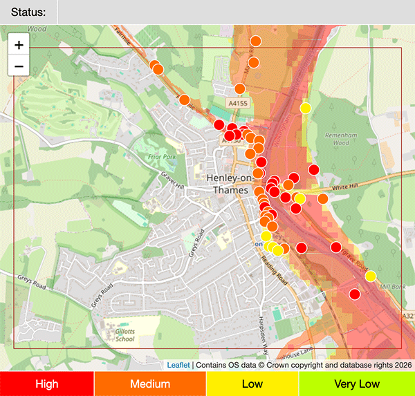
(You can find the interactive version of this map here).
The heatmap shows the continuous flood risk throughout the area being mapped. The coloured circles show the flood risk for individual postcodes.
Each postcode with a flood risk also has a flood map. The Henley-on-Thames map above includes the postcode of the riverside pub, The Angel on the Bridge: RG9 1BH.
The below static screenshot shows an example flood map for RG9 1BH:
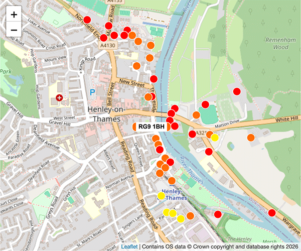
(You can find the interactive version of this map here).
The coloured circles on the map show the flood risk for neighbouring postcodes.


- Contains OS data © Crown copyright and database right (2026)
- Contains Royal Mail data © Royal Mail copyright and Database right (2026)
- Contains National Statistics data © Crown copyright and database right (2026)
- Data produced by Land Registry © Crown copyright (2026)
- Contains Environment Agency data licensed under the Open Government Licence v3.0
- Everything else © GetTheData Publishing Limited (2026)
GetTheData.com is owned and operated by GetTheData Publishing Limited.
Company Number: 11075184 · Registered in England and Wales.
Registered Office: 3rd Floor, 86-90 Paul Street, London, England, EC2A 4NE
By accessing our site you agree to us using cookies, and sharing information about your use of our site, in accordance with our privacy policy.