SE17 1FU maps, stats, and open data
- Home
- Postcode
- SE
- SE17
- SE17 1
SE17 1FU is located in the North Walworth electoral ward, within the London borough of Southwark and the English Parliamentary constituency of Bermondsey and Old Southwark. The Sub Integrated Care Board (ICB) Location is NHS South East London ICB - 72Q and the police force is Metropolitan Police. This postcode has been in use since May 2019.
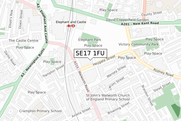
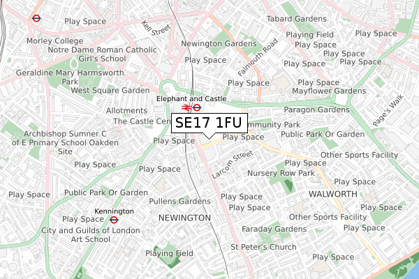
SE17 1FU maps


Source: OS Open Zoomstack (Ordnance Survey)
Licence: Open Government Licence (requires attribution)
Attribution: Contains OS data © Crown copyright and database right 2026
Source: Open Postcode GeoLicence: Open Government Licence (requires attribution)
Attribution: Contains OS data © Crown copyright and database right 2026; Contains Royal Mail data © Royal Mail copyright and database right 2026; Source: Office for National Statistics licensed under the Open Government Licence v.3.0
SE17 1FU geodata
| Easting | 532200 |
| Northing | 178765 |
| Latitude | 51.492384 |
| Longitude | -0.097112 |
Where is SE17 1FU?
| Country | England |
| Postcode District | SE17 |
Politics
| Ward | North Walworth |
|---|
| Constituency | Bermondsey And Old Southwark |
|---|
Transport
Nearest bus stops to SE17 1FU
| Hampton Street (Walworth Road) | Elephant & Castle | 90m |
| Hampton Street (Walworth Road) | Elephant & Castle | 90m |
| Heygate Street (Walworth Road) | Elephant & Castle | 93m |
| Larcom Street (Walworth Road) | Walworth | 177m |
| Elephant & Castle | Elephant & Castle | 197m |
Nearest underground/metro/tram to SE17 1FU
| Elephant & Castle Underground Station | Elephant & Castle | 340m |
| Kennington Underground Station | Kennington | 760m |
| Borough Underground Station | The Borough | 1,015m |
| Lambeth North Underground Station | Lambeth North | 1,273m |
| Southwark Underground Station | Southwark | 1,399m |
Nearest railway stations to SE17 1FU
| Elephant & Castle Station | 0.2km |
| London Waterloo East Station | 1.5km |
| London Bridge Station | 1.6km |
Broadband
Broadband access in SE17 1FU (2020 data)
| Percentage of properties with Next Generation Access | 100.0% |
| Percentage of properties with Superfast Broadband | 100.0% |
| Percentage of properties with Ultrafast Broadband | 100.0% |
| Percentage of properties with Full Fibre Broadband | 100.0% |
Superfast Broadband is between 30Mbps and 300Mbps
Ultrafast Broadband is > 300Mbps
Broadband limitations in SE17 1FU (2020 data)
| Percentage of properties unable to receive 2Mbps | 0.0% |
| Percentage of properties unable to receive 5Mbps | 0.0% |
| Percentage of properties unable to receive 10Mbps | 0.0% |
| Percentage of properties unable to receive 30Mbps | 0.0% |
Deprivation
92.4% of English postcodes are less deprived than
SE17 1FU:
Food Standards Agency
Three nearest food hygiene ratings to SE17 1FU (metres)
M m kiosk
Pot and rice
Koi ramen bar
➜ Get more ratings from the Food Standards Agency
Nearest post box to SE17 1FU
| | Last Collection | |
|---|
| Location | Mon-Fri | Sat | Distance |
|---|
| Walworth Road | 17:30 | 12:00 | 186m |
| New Kent Road | 18:30 | 13:00 | 229m |
| Charleston Street | 17:30 | 12:00 | 277m |
Environment
| Risk of SE17 1FU flooding from rivers and sea | Very Low |
SE17 1FU ITL and SE17 1FU LAU
The below table lists the International Territorial Level (ITL) codes (formerly Nomenclature of Territorial Units for Statistics (NUTS) codes) and Local Administrative Units (LAU) codes for SE17 1FU:
| ITL 1 Code | Name |
|---|
| TLI | London |
| ITL 2 Code | Name |
|---|
| TLI4 | Inner London - East |
| ITL 3 Code | Name |
|---|
| TLI44 | Lewisham and Southwark |
| LAU 1 Code | Name |
|---|
| E09000028 | Southwark |
SE17 1FU census areas
The below table lists the Census Output Area (OA), Lower Layer Super Output Area (LSOA), and Middle Layer Super Output Area (MSOA) for SE17 1FU:
| Code | Name |
|---|
| OA | E00167979 | |
|---|
| LSOA | E01032720 | Southwark 009F |
|---|
| MSOA | E02000815 | Southwark 009 |
|---|
Nearest postcodes to SE17 1FU


