KT16 8FF maps, stats, and open data
KT16 8FF is located in the Chertsey Riverside electoral ward, within the local authority district of Runnymede and the English Parliamentary constituency of Runnymede and Weybridge. The Sub Integrated Care Board (ICB) Location is NHS Surrey Heartlands ICB - 92A and the police force is Surrey. This postcode has been in use since February 2019.
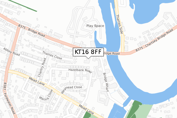
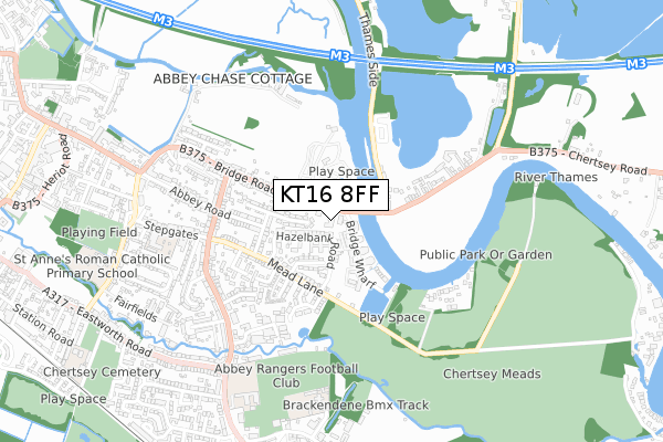
KT16 8FF maps


Licence: Open Government Licence (requires attribution)
Attribution: Contains OS data © Crown copyright and database right 2026
Source: Open Postcode Geo
Licence: Open Government Licence (requires attribution)
Attribution: Contains OS data © Crown copyright and database right 2026; Contains Royal Mail data © Royal Mail copyright and database right 2026; Source: Office for National Statistics licensed under the Open Government Licence v.3.0
KT16 8FF geodata
| Easting | 505278 |
| Northing | 166592 |
| Latitude | 51.388614 |
| Longitude | -0.488364 |
Where is KT16 8FF?
| Country | England |
| Postcode District | KT16 |
Politics
| Ward | Chertsey Riverside |
|---|---|
| Constituency | Runnymede And Weybridge |
Transport
Nearest bus stops to KT16 8FF
| Chertsey Bridge (Bridge Road) | Chertsey | 43m |
| Chertsey Bridge (Bridge Road) | Chertsey | 53m |
| Weir Road (Bridge Road) | Chertsey | 368m |
| Old Littleton Lane (Chertsey Bridge Road) | Shepperton | 502m |
| Weir Road (Bridge Road) | Chertsey | 512m |
Nearest railway stations to KT16 8FF
| Chertsey Station | 1.5km |
| Addlestone Station | 1.8km |
| Shepperton Station | 3km |
Broadband
Broadband speed in KT16 8FF (2019 data)
Download
Ofcom does not currently provide download speed data for KT16 8FF. This is because there are less than four broadband connections in this postcode.
Upload
Ofcom does not currently provide upload speed data for KT16 8FF. This is because there are less than four broadband connections in this postcode.
Deprivation
52.2% of English postcodes are less deprived than KT16 8FF:Food Standards Agency
Three nearest food hygiene ratings to KT16 8FF (metres)


➜ Get more ratings from the Food Standards Agency
Nearest post box to KT16 8FF
| Last Collection | |||
|---|---|---|---|
| Location | Mon-Fri | Sat | Distance |
| Bridge Road | 17:45 | 12:00 | 35m |
| Hazlebank Road | 17:00 | 11:45 | 266m |
| Stepgates Post Office | 17:45 | 12:00 | 519m |
Environment
| Risk of KT16 8FF flooding from rivers and sea | Medium |
KT16 8FF ITL and KT16 8FF LAU
The below table lists the International Territorial Level (ITL) codes (formerly Nomenclature of Territorial Units for Statistics (NUTS) codes) and Local Administrative Units (LAU) codes for KT16 8FF:
| ITL 1 Code | Name |
|---|---|
| TLJ | South East (England) |
| ITL 2 Code | Name |
| TLJ2 | Surrey, East and West Sussex |
| ITL 3 Code | Name |
| TLJ25 | West Surrey |
| LAU 1 Code | Name |
| E07000212 | Runnymede |
KT16 8FF census areas
The below table lists the Census Output Area (OA), Lower Layer Super Output Area (LSOA), and Middle Layer Super Output Area (MSOA) for KT16 8FF:
| Code | Name | |
|---|---|---|
| OA | E00167791 | |
| LSOA | E01030658 | Runnymede 004B |
| MSOA | E02006396 | Runnymede 004 |
Nearest postcodes to KT16 8FF
| KT16 8LQ | Bridge Wharf | 56m |
| KT16 8LX | Bridge Road | 82m |
| KT16 8JZ | Bridge Road | 85m |
| KT16 8LU | Bridge Wharf | 92m |
| KT16 8LB | Bridge Wharf | 96m |
| KT16 8PD | Hazelbank Court | 97m |
| KT16 8JA | Bridge Wharf | 99m |
| KT16 8PE | Hazelbank Court | 109m |
| KT16 8JB | Bridge Wharf | 132m |
| KT16 8LE | The Planes | 134m |