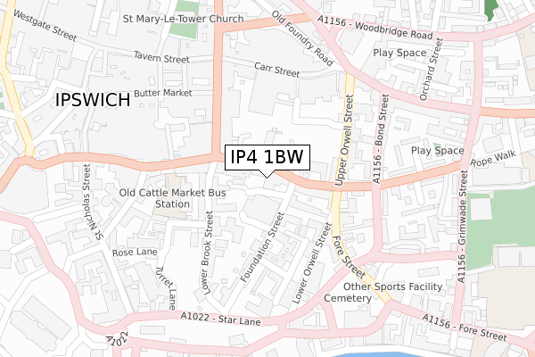
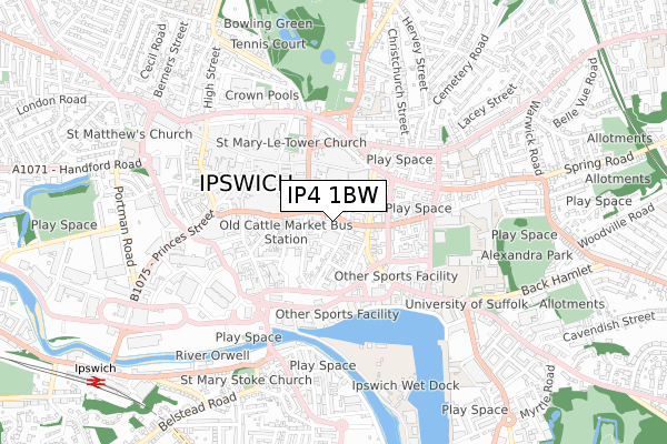
IP4 1BW is located in the Alexandra electoral ward, within the local authority district of Ipswich and the English Parliamentary constituency of Ipswich. The Sub Integrated Care Board (ICB) Location is NHS Suffolk and North East Essex ICB - 06L and the police force is Suffolk. This postcode has been in use since October 2017.


GetTheData
Source: OS Open Zoomstack (Ordnance Survey)
Licence: Open Government Licence (requires attribution)
Attribution: Contains OS data © Crown copyright and database right 2024
Source: Open Postcode Geo
Licence: Open Government Licence (requires attribution)
Attribution: Contains OS data © Crown copyright and database right 2024; Contains Royal Mail data © Royal Mail copyright and database right 2024; Source: Office for National Statistics licensed under the Open Government Licence v.3.0
| Easting | 616572 |
| Northing | 244397 |
| Latitude | 52.055625 |
| Longitude | 1.157531 |
GetTheData
Source: Open Postcode Geo
Licence: Open Government Licence
| Country | England |
| Postcode District | IP4 |
| ➜ IP4 open data dashboard ➜ See where IP4 is on a map ➜ Where is Ipswich? | |
GetTheData
Source: Land Registry Price Paid Data
Licence: Open Government Licence
| Ward | Alexandra |
| Constituency | Ipswich |
GetTheData
Source: ONS Postcode Database
Licence: Open Government Licence
| January 2024 | Violence and sexual offences | On or near Upper Orwell Street | 164m |
| December 2023 | Public order | On or near Upper Orwell Street | 164m |
| December 2023 | Violence and sexual offences | On or near Upper Orwell Street | 164m |
| ➜ Get more crime data in our Crime section | |||
GetTheData
Source: data.police.uk
Licence: Open Government Licence
| Christ Church (Tacket Street) | Ipswich | 33m |
| Blackfriars Court (Foundation Street) | Ipswich | 68m |
| The Dhaka (Orwell Place) | Ipswich | 97m |
| Co-op Education Centre (Fore Street) | Ipswich | 143m |
| Cafe Nero | Ipswich | 179m |
| Ipswich Station | 1.1km |
| Derby Road (Ipswich) Station | 1.8km |
| Westerfield Station | 2.9km |
GetTheData
Source: NaPTAN
Licence: Open Government Licence
➜ Broadband speed and availability dashboard for IP4 1BW
| Percentage of properties with Next Generation Access | 100.0% |
| Percentage of properties with Superfast Broadband | 100.0% |
| Percentage of properties with Ultrafast Broadband | 100.0% |
| Percentage of properties with Full Fibre Broadband | 0.0% |
Superfast Broadband is between 30Mbps and 300Mbps
Ultrafast Broadband is > 300Mbps
| Median download speed | 80.0Mbps |
| Average download speed | 79.8Mbps |
| Maximum download speed | 160.01Mbps |
| Median upload speed | 20.0Mbps |
| Average upload speed | 19.2Mbps |
| Maximum upload speed | 30.02Mbps |
| Percentage of properties unable to receive 2Mbps | 0.0% |
| Percentage of properties unable to receive 5Mbps | 0.0% |
| Percentage of properties unable to receive 10Mbps | 0.0% |
| Percentage of properties unable to receive 30Mbps | 0.0% |
➜ Broadband speed and availability dashboard for IP4 1BW
GetTheData
Source: Ofcom
Licence: Ofcom Terms of Use (requires attribution)
GetTheData
Source: ONS Postcode Database
Licence: Open Government Licence


➜ Get more ratings from the Food Standards Agency
GetTheData
Source: Food Standards Agency
Licence: FSA terms & conditions
| Last Collection | |||
|---|---|---|---|
| Location | Mon-Fri | Sat | Distance |
| Orwell Place | 18:30 | 12:00 | 98m |
| Carr Street | 18:30 | 12:00 | 211m |
| 9 Upper Brook Street | 18:30 | 12:15 | 218m |
GetTheData
Source: Dracos
Licence: Creative Commons Attribution-ShareAlike
| Facility | Distance |
|---|---|
| New Oaks Gym Upper Orwell Street, Ipswich Health and Fitness Gym | 180m |
| Puregym (Ipswich Buttermarket) The Buttermarket Shopping Centre, St. Stephens Lane, Ipswich Health and Fitness Gym | 259m |
| Fore Street Pool Fore Street, Ipswich Swimming Pool | 314m |
GetTheData
Source: Active Places
Licence: Open Government Licence
| School | Phase of Education | Distance |
|---|---|---|
| Learning Support, Southern Area Education Office St Andrew House, County Hall, Grimwade Street, Ipswich, IP4 1LJ | Not applicable | 367m |
| St Margaret's Church of England Voluntary Aided Primary School, Ipswich Bolton Lane, Ipswich, IP4 2BT | Primary | 492m |
| Suffolk New College Rope Walk, Ipswich, IP4 1LT | 16 plus | 505m |
GetTheData
Source: Edubase
Licence: Open Government Licence
The below table lists the International Territorial Level (ITL) codes (formerly Nomenclature of Territorial Units for Statistics (NUTS) codes) and Local Administrative Units (LAU) codes for IP4 1BW:
| ITL 1 Code | Name |
|---|---|
| TLH | East |
| ITL 2 Code | Name |
| TLH1 | East Anglia |
| ITL 3 Code | Name |
| TLH14 | Suffolk CC |
| LAU 1 Code | Name |
| E07000202 | Ipswich |
GetTheData
Source: ONS Postcode Directory
Licence: Open Government Licence
The below table lists the Census Output Area (OA), Lower Layer Super Output Area (LSOA), and Middle Layer Super Output Area (MSOA) for IP4 1BW:
| Code | Name | |
|---|---|---|
| OA | E00152685 | |
| LSOA | E01033125 | Ipswich 007G |
| MSOA | E02006251 | Ipswich 007 |
GetTheData
Source: ONS Postcode Directory
Licence: Open Government Licence
| IP4 1BA | Tacket Street | 13m |
| IP4 1AR | Wingfield Street | 62m |
| IP4 1AU | Tacket Street | 80m |
| IP4 1BS | Foundation Street | 84m |
| IP4 1AG | Lower Brook Street | 95m |
| IP4 1BB | Orwell Place | 98m |
| IP4 1BD | Orwell Place | 109m |
| IP4 1DR | Upper Brook Street | 118m |
| IP4 1AP | Lower Brook Street | 120m |
| IP4 1HR | Upper Orwell Street | 124m |
GetTheData
Source: Open Postcode Geo; Land Registry Price Paid Data
Licence: Open Government Licence