Where is Neuadd Cross?
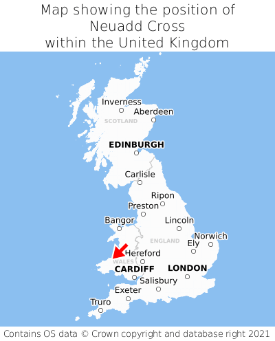
Neuadd Cross is located in the county of Dyfed, Wales, four miles north-west of the town of Newcastle Emlyn, 41 miles north-west of the major city of Swansea, 72 miles north-west of Cardiff, and 193 miles west of London. Neuadd Cross was historically in the county of Cardiganshire. Neuadd Cross falls within the unitary authority of Sir Ceredigion - Ceredigion. It is in the SA43 postcode district. The post town for Neuadd Cross is Cardigan.
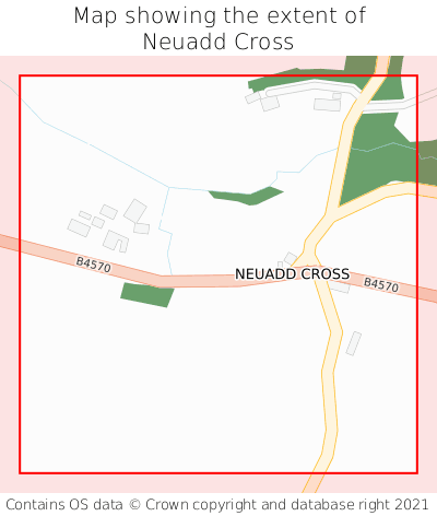
Neuadd Cross on a map


Which county is Neuadd Cross in?
Neuadd Cross is in the ceremonial county of Dyfed, the historic county of Cardiganshire, and the administrative county of Sir Ceredigion - Ceredigion.
| Ceremonial County | Dyfed |
|---|---|
| Historic County | Cardiganshire |
| Administrative County | Sir Ceredigion - Ceredigion |
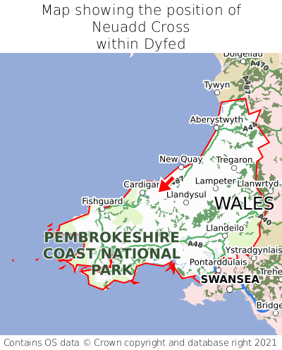
Where is Neuadd Cross in Dyfed?
Neuadd Cross is situated roughly centrally between the southernmost and northernmost extremities of Dyfed, and roughly centrally between the easternmost and westernmost extremities of Dyfed.

What is the postcode for Neuadd Cross?
The nearest postcode to the centre of Neuadd Cross is SA43 2RD.
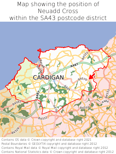
Where is Neuadd Cross in SA43?
Neuadd Cross is situated roughly centrally between the southernmost and northernmost extremities of the SA43 postcode district, and towards the easternmost extremity of the SA43 postcode district.

What is the post town for Neuadd Cross?
The post town for Neuadd Cross is Cardigan. Neuadd Cross is in the SA43 postcode district, which corresponds to the post town of Cardigan.
What is the latitude and longitude of Neuadd Cross?
The centre of Neuadd Cross is located at position 52.08149° latitude and -4.54488° longitude.
| Latitude | 52.08149° |
|---|---|
| Longitude | -4.54488° |
What is the easting and northing of Neuadd Cross?
The centre of Neuadd Cross is located at the grid reference easting 225716 and northing 245627 within the British National Grid (OSGB36) system.
| Easting | 225716 |
|---|---|
| Northing | 245627 |
What are the nearest towns to Neuadd Cross?
Position of Neuadd Cross relative to nearby towns. Distance is measured from the centre of Neuadd Cross to the centre of the town.
What are the nearest cities to Neuadd Cross?
Position of Neuadd Cross relative to nearby cities. Distance is measured from the centre of Neuadd Cross to the centre of the city.