Where is Elterwater?
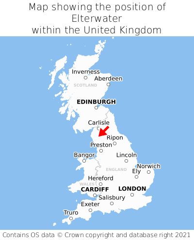
Elterwater is located in the county of Cumbria, North West England, three miles west of the town of Ambleside, 32 miles south of the major city of Carlisle, 105 miles south of Edinburgh, 204 miles north of Cardiff, and 235 miles north-west of London. Elterwater was historically in the county of Westmorland. Elterwater falls within the unitary authority of Westmorland and Furness. It is in the LA22 postcode district. The post town for Elterwater is Ambleside.
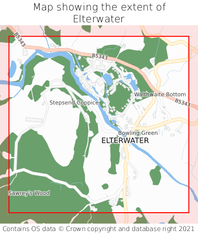
Elterwater on a map


Which county is Elterwater in?
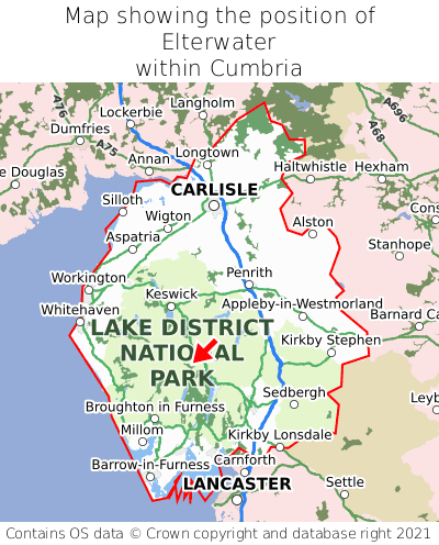
Elterwater is in the ceremonial county of Cumbria, the historic county of Westmorland, and the administrative county of Westmorland and Furness.
| Ceremonial County | Cumbria |
|---|---|
| Historic County | Westmorland |
| Administrative County | Westmorland and Furness |
Where is Elterwater in Cumbria?
Elterwater is situated roughly centrally between the southernmost and northernmost extremities of Cumbria, and roughly centrally between the easternmost and westernmost extremities of Cumbria.

What is the postcode for Elterwater?
The nearest postcode to the centre of Elterwater is LA22 9HU.
Where is Elterwater in LA22?
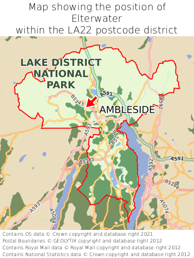
Elterwater is situated roughly centrally between the southernmost and northernmost extremities of the LA22 postcode district, and roughly centrally between the easternmost and westernmost extremities of the LA22 postcode district.

What is the post town for Elterwater?
The post town for Elterwater is Ambleside. Elterwater is in the LA22 postcode district, which corresponds to the post town of Ambleside.
What is the latitude and longitude of Elterwater?
The centre of Elterwater is located at position 54.43361° latitude and -3.03829° longitude.
| Latitude | 54.43361° |
|---|---|
| Longitude | -3.03829° |
What is the easting and northing of Elterwater?
The centre of Elterwater is located at the grid reference easting 332747 and northing 504741 within the British National Grid (OSGB36) system.
| Easting | 332747 |
|---|---|
| Northing | 504741 |
What are the nearest towns to Elterwater?
Position of Elterwater relative to nearby towns. Distance is measured from the centre of Elterwater to the centre of the town.
What are the nearest cities to Elterwater?
Position of Elterwater relative to nearby cities. Distance is measured from the centre of Elterwater to the centre of the city.