Where is Stanton Hill?
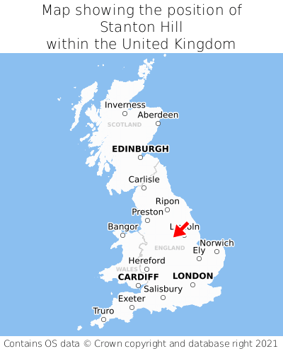
Stanton Hill is located in the county of Nottinghamshire, East Midlands, one mile north-west of the town of Sutton in Ashfield, three miles west of the major town of Mansfield, and 122 miles north-west of London. Stanton Hill lies two miles east of the Derbyshire border. Stanton Hill falls within the district council of Ashfield, under the county council of Nottinghamshire. It is in the NG17 postcode district.
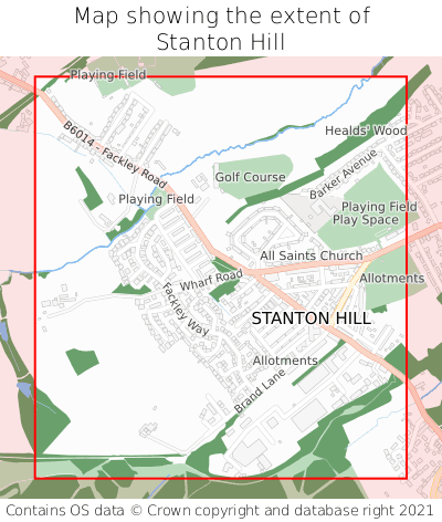
Stanton Hill on a map


Which county is Stanton Hill in?
Stanton Hill is in the ceremonial county of Nottinghamshire, the historic county of Nottinghamshire, and the administrative county of Nottinghamshire.
| Ceremonial County | Nottinghamshire |
|---|---|
| Historic County | Nottinghamshire |
| Administrative County | Nottinghamshire |
Where is Stanton Hill in Nottinghamshire?
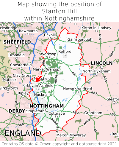
Stanton Hill is situated roughly centrally between the southernmost and northernmost extremities of Nottinghamshire, and towards the westernmost extremity of Nottinghamshire.

What is the postcode for Stanton Hill?
The nearest postcode to the centre of Stanton Hill is NG17 3FZ.
Where is Stanton Hill in NG17?
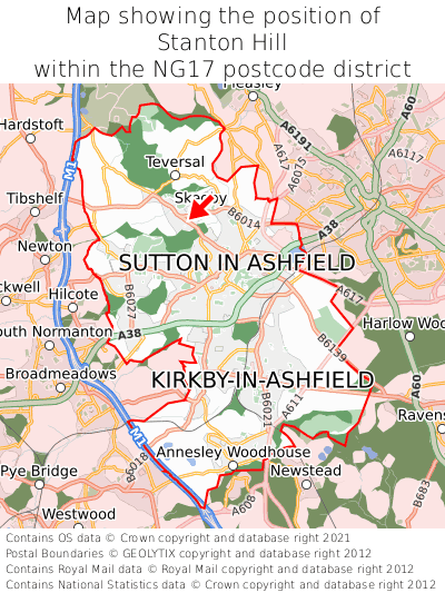
Stanton Hill is situated towards the northernmost extremity of the NG17 postcode district, and roughly centrally between the easternmost and westernmost extremities of the NG17 postcode district.

What is the latitude and longitude of Stanton Hill?
The centre of Stanton Hill is located at position 53.1404° latitude and -1.27653° longitude.
| Latitude | 53.1404° |
|---|---|
| Longitude | -1.27653° |
What is the easting and northing of Stanton Hill?
The centre of Stanton Hill is located at the grid reference easting 448493 and northing 360606 within the British National Grid (OSGB36) system.
| Easting | 448493 |
|---|---|
| Northing | 360606 |
What are the nearest towns to Stanton Hill?
Position of Stanton Hill relative to nearby towns. Distance is measured from the centre of Stanton Hill to the centre of the town.
What are the nearest cities to Stanton Hill?
Position of Stanton Hill relative to nearby cities. Distance is measured from the centre of Stanton Hill to the centre of the city.