Search properties, postcodes, flood maps:
WD23 3FG maps, stats, and open data
WD23 3FG is located in the Bushey Park electoral ward, within the local authority district of Hertsmere and the English Parliamentary constituency of Hertsmere. The Sub Integrated Care Board (ICB) Location is NHS Hertfordshire and West Essex ICB - 06N and the police force is Hertfordshire. This postcode has been in use since February 2020.
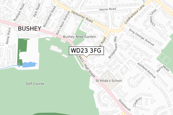
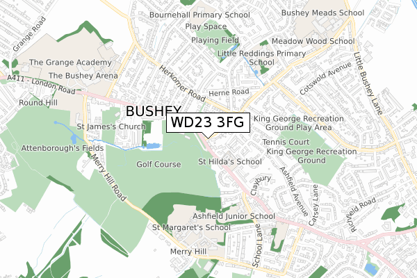
WD23 3FG maps


Source: OS Open Zoomstack (Ordnance Survey)
Licence: Open Government Licence (requires attribution)
Attribution: Contains OS data © Crown copyright and database right 2026
Source: Open Postcode Geo
Licence: Open Government Licence (requires attribution)
Attribution: Contains OS data © Crown copyright and database right 2026; Contains Royal Mail data © Royal Mail copyright and database right 2026; Source: Office for National Statistics licensed under the Open Government Licence v.3.0
Licence: Open Government Licence (requires attribution)
Attribution: Contains OS data © Crown copyright and database right 2026
Source: Open Postcode Geo
Licence: Open Government Licence (requires attribution)
Attribution: Contains OS data © Crown copyright and database right 2026; Contains Royal Mail data © Royal Mail copyright and database right 2026; Source: Office for National Statistics licensed under the Open Government Licence v.3.0
WD23 3FG geodata
| Easting | 513577 |
| Northing | 195075 |
| Latitude | 51.643020 |
| Longitude | -0.359972 |
Where is WD23 3FG?
| Country | England |
| Postcode District | WD23 |
Politics
| Ward | Bushey Park |
|---|---|
| Constituency | Hertsmere |
Transport
Nearest bus stops to WD23 3FG
| Melbourne Road (High Street) | Bushey | 61m |
| Melbourne Road (High Street) | Bushey | 62m |
| Bournehall Road (High Street) | Bushey | 222m |
| Steeplands (High Street) | Bushey | 261m |
| Bournehall Road (High Street) | Bushey | 279m |
Nearest railway stations to WD23 3FG
| Bushey Station | 1.8km |
| Carpenders Park Station | 2.4km |
| Watford High Street Station | 2.4km |
Deprivation
4.9% of English postcodes are less deprived than WD23 3FG:Food Standards Agency
Three nearest food hygiene ratings to WD23 3FG (metres)
St Hildas Prep School And Bluebird Nursery

Holroyd Howe
160m
Vu Lounge

Bushey Golf And Country Club
182m
Par 3 Cafe And Lounge

Bushey Golf And Country Club
182m
➜ Get more ratings from the Food Standards Agency
Nearest post box to WD23 3FG
| Last Collection | |||
|---|---|---|---|
| Location | Mon-Fri | Sat | Distance |
| Bushey P.o | 18:30 | 12:00 | 413m |
| The Avenue | 18:30 | 12:00 | 1,179m |
| Bucks Avenue | 18:30 | 11:45 | 1,466m |
WD23 3FG ITL and WD23 3FG LAU
The below table lists the International Territorial Level (ITL) codes (formerly Nomenclature of Territorial Units for Statistics (NUTS) codes) and Local Administrative Units (LAU) codes for WD23 3FG:
| ITL 1 Code | Name |
|---|---|
| TLH | East |
| ITL 2 Code | Name |
| TLH2 | Bedfordshire and Hertfordshire |
| ITL 3 Code | Name |
| TLH23 | Hertfordshire CC |
| LAU 1 Code | Name |
| E07000098 | Hertsmere |
WD23 3FG census areas
The below table lists the Census Output Area (OA), Lower Layer Super Output Area (LSOA), and Middle Layer Super Output Area (MSOA) for WD23 3FG:
| Code | Name | |
|---|---|---|
| OA | E00119648 | |
| LSOA | E01023558 | Hertsmere 012A |
| MSOA | E02004907 | Hertsmere 012 |
Nearest postcodes to WD23 3FG
| WD23 3HF | High Street | 13m |
| WD23 3HH | High Street | 77m |
| WD23 3BX | Meadowcroft | 82m |
| WD23 3LL | Melbourne Road | 106m |
| WD23 3BY | Meadowcroft | 121m |
| WD23 3LW | Herkomer Close | 125m |
| WD23 3LN | Melbourne Road | 136m |
| WD23 4UA | Bridgewater Way | 155m |
| WD23 4UF | Fidler Place | 160m |
| WD23 3LX | Castle Close | 164m |