Search properties, postcodes, flood maps:
SE7 7FZ maps, stats, and open data
SE7 7FZ is located in the Greenwich Peninsula electoral ward, within the London borough of Greenwich and the English Parliamentary constituency of Greenwich and Woolwich. The Sub Integrated Care Board (ICB) Location is NHS South East London ICB - 72Q and the police force is Metropolitan Police. This postcode has been in use since February 2020.
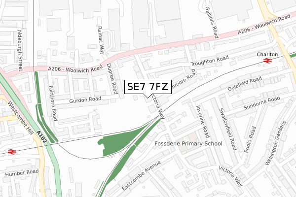
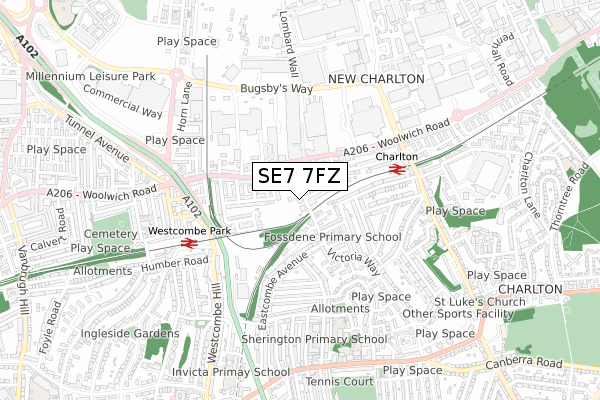
SE7 7FZ maps


Source: OS Open Zoomstack (Ordnance Survey)
Licence: Open Government Licence (requires attribution)
Attribution: Contains OS data © Crown copyright and database right 2026
Source: Open Postcode Geo
Licence: Open Government Licence (requires attribution)
Attribution: Contains OS data © Crown copyright and database right 2026; Contains Royal Mail data © Royal Mail copyright and database right 2026; Source: Office for National Statistics licensed under the Open Government Licence v.3.0
Licence: Open Government Licence (requires attribution)
Attribution: Contains OS data © Crown copyright and database right 2026
Source: Open Postcode Geo
Licence: Open Government Licence (requires attribution)
Attribution: Contains OS data © Crown copyright and database right 2026; Contains Royal Mail data © Royal Mail copyright and database right 2026; Source: Office for National Statistics licensed under the Open Government Licence v.3.0
SE7 7FZ geodata
| Easting | 540706 |
| Northing | 178253 |
| Latitude | 51.485732 |
| Longitude | 0.025128 |
Where is SE7 7FZ?
| Country | England |
| Postcode District | SE7 |
Politics
| Ward | Greenwich Peninsula |
|---|---|
| Constituency | Greenwich And Woolwich |
Transport
Nearest bus stops to SE7 7FZ
| Woolwich Road Victoria Way (Woolwich Road) | Charlton | 163m |
| Woolwich Road Victoria Way (Woolwich Road) | Charlton | 181m |
| Rainton Road (Woolwich Road) | Charlton | 202m |
| Wyndcliff Rdeastcombe Avenue (Eastcombe Avenue) | Charlton | 271m |
| Woolwich Road Gallions Road (Woolwich Road) | Charlton | 272m |
Nearest railway stations to SE7 7FZ
| Charlton Station | 0.4km |
| Westcombe Park Station | 0.5km |
| Maze Hill Station | 1.6km |
Deprivation
68.7% of English postcodes are less deprived than SE7 7FZ:Food Standards Agency
Three nearest food hygiene ratings to SE7 7FZ (metres)
Nisa Local

2 Bowen Drive
43m
Monkey Puzzle Charlton

Ramsay House 6 Bowen Drive
54m
Imperial Chef

240 Woolwich Road
166m
➜ Get more ratings from the Food Standards Agency
Nearest post box to SE7 7FZ
| Last Collection | |||
|---|---|---|---|
| Location | Mon-Fri | Sat | Distance |
| Inverine Road | 17:30 | 12:00 | 258m |
| 20 Swallowfield Road | 17:30 | 12:00 | 265m |
| 88 Wyndcliff Road | 17:30 | 12:00 | 401m |
SE7 7FZ ITL and SE7 7FZ LAU
The below table lists the International Territorial Level (ITL) codes (formerly Nomenclature of Territorial Units for Statistics (NUTS) codes) and Local Administrative Units (LAU) codes for SE7 7FZ:
| ITL 1 Code | Name |
|---|---|
| TLI | London |
| ITL 2 Code | Name |
| TLI5 | Outer London - East and North East |
| ITL 3 Code | Name |
| TLI51 | Bexley and Greenwich |
| LAU 1 Code | Name |
| E09000011 | Greenwich |
SE7 7FZ census areas
The below table lists the Census Output Area (OA), Lower Layer Super Output Area (LSOA), and Middle Layer Super Output Area (MSOA) for SE7 7FZ:
| Code | Name | |
|---|---|---|
| OA | E00008285 | |
| LSOA | E01001666 | Greenwich 036A |
| MSOA | E02006929 | Greenwich 036 |
Nearest postcodes to SE7 7FZ
| SE7 7QR | Victoria Way | 65m |
| SE7 7RE | Victoria Way | 92m |
| SE7 7UF | Victoria Way | 106m |
| SE7 7QW | Rathmore Road | 106m |
| SE7 7RR | Dupree Road | 108m |
| SE7 7QH | Troughton Road | 114m |
| SE7 7QP | Rathmore Road | 115m |
| SE7 7UD | Bernard Ashley Drive | 124m |
| SE7 7QJ | Troughton Road | 129m |
| SE7 7UE | Frank Burton Close | 136m |