DY10 2RZ maps, stats, and open data
- Home
- Postcode
- DY
- DY10
- DY10 2
DY10 2RZ is located in the Broadwaters electoral ward, within the local authority district of Wyre Forest and the English Parliamentary constituency of Wyre Forest. The Sub Integrated Care Board (ICB) Location is NHS Herefordshire and Worcestershire ICB - 18C and the police force is West Mercia. This postcode has been in use since October 2018.
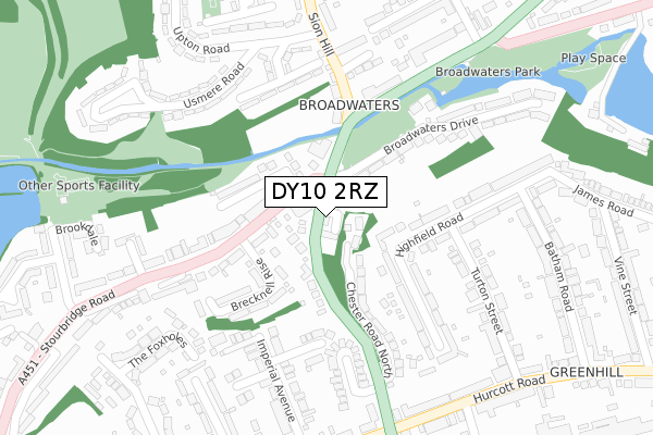
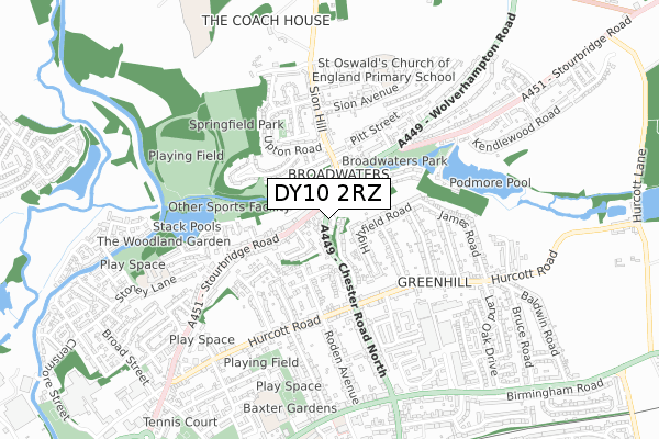
DY10 2RZ maps


Source: OS Open Zoomstack (Ordnance Survey)
Licence: Open Government Licence (requires attribution)
Attribution: Contains OS data © Crown copyright and database right 2026
Source: Open Postcode GeoLicence: Open Government Licence (requires attribution)
Attribution: Contains OS data © Crown copyright and database right 2026; Contains Royal Mail data © Royal Mail copyright and database right 2026; Source: Office for National Statistics licensed under the Open Government Licence v.3.0
DY10 2RZ geodata
| Easting | 383970 |
| Northing | 277822 |
| Latitude | 52.398190 |
| Longitude | -2.237012 |
Where is DY10 2RZ?
| Country | England |
| Postcode District | DY10 |
Politics
| Ward | Broadwaters |
|---|
| Constituency | Wyre Forest |
|---|
Transport
Nearest bus stops to DY10 2RZ
| Broadwaters Drive (Stourbirdge Road) | Broadwaters | 107m |
| Sion Hill | Broadwaters | 163m |
| Broadwaters Drive (Stourbridge Road) | Broadwaters | 190m |
| Turton Street | Greenhill | 275m |
| Usmere Road (Upton Road) | Sion Hill | 300m |
Nearest railway stations to DY10 2RZ
| Kidderminster Station | 1.5km |
| Blakedown Station | 4.2km |
Broadband
Broadband access in DY10 2RZ (2020 data)
| Percentage of properties with Next Generation Access | 100.0% |
| Percentage of properties with Superfast Broadband | 100.0% |
| Percentage of properties with Ultrafast Broadband | 0.0% |
| Percentage of properties with Full Fibre Broadband | 0.0% |
Superfast Broadband is between 30Mbps and 300Mbps
Ultrafast Broadband is > 300Mbps
Broadband limitations in DY10 2RZ (2020 data)
| Percentage of properties unable to receive 2Mbps | 0.0% |
| Percentage of properties unable to receive 5Mbps | 0.0% |
| Percentage of properties unable to receive 10Mbps | 0.0% |
| Percentage of properties unable to receive 30Mbps | 0.0% |
Deprivation
26.9% of English postcodes are less deprived than
DY10 2RZ:
Food Standards Agency
Three nearest food hygiene ratings to DY10 2RZ (metres)
Rose Theatre
Sion Hill Fish Bar
Broadwaters Stores & Off Licence
➜ Get more ratings from the Food Standards Agency
Nearest post box to DY10 2RZ
| | Last Collection | |
|---|
| Location | Mon-Fri | Sat | Distance |
|---|
| Barnsley Hill | 18:30 | 11:30 | 254m |
| Linden Avenue | 18:45 | 12:00 | 854m |
| Baldwins Road | 17:00 | 11:40 | 966m |
DY10 2RZ ITL and DY10 2RZ LAU
The below table lists the International Territorial Level (ITL) codes (formerly Nomenclature of Territorial Units for Statistics (NUTS) codes) and Local Administrative Units (LAU) codes for DY10 2RZ:
| ITL 1 Code | Name |
|---|
| TLG | West Midlands (England) |
| ITL 2 Code | Name |
|---|
| TLG1 | Herefordshire, Worcestershire and Warwickshire |
| ITL 3 Code | Name |
|---|
| TLG12 | Worcestershire CC |
| LAU 1 Code | Name |
|---|
| E07000239 | Wyre Forest |
DY10 2RZ census areas
The below table lists the Census Output Area (OA), Lower Layer Super Output Area (LSOA), and Middle Layer Super Output Area (MSOA) for DY10 2RZ:
| Code | Name |
|---|
| OA | E00165433 | |
|---|
| LSOA | E01032438 | Wyre Forest 003B |
|---|
| MSOA | E02006769 | Wyre Forest 003 |
|---|
Nearest postcodes to DY10 2RZ


