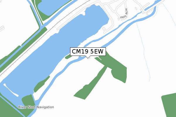
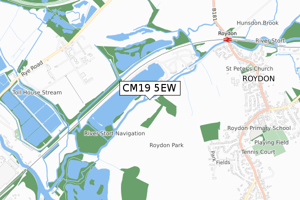
CM19 5EW is located in the Roydon electoral ward, within the local authority district of Epping Forest and the English Parliamentary constituency of Harlow. The Sub Integrated Care Board (ICB) Location is NHS Hertfordshire and West Essex ICB - 07H and the police force is Essex. This postcode has been in use since January 2016.


GetTheData
Source: OS Open Zoomstack (Ordnance Survey)
Licence: Open Government Licence (requires attribution)
Attribution: Contains OS data © Crown copyright and database right 2024
Source: Open Postcode Geo
Licence: Open Government Licence (requires attribution)
Attribution: Contains OS data © Crown copyright and database right 2024; Contains Royal Mail data © Royal Mail copyright and database right 2024; Source: Office for National Statistics licensed under the Open Government Licence v.3.0
| Easting | 539945 |
| Northing | 209986 |
| Latitude | 51.771062 |
| Longitude | 0.026820 |
GetTheData
Source: Open Postcode Geo
Licence: Open Government Licence
| Country | England |
| Postcode District | CM19 |
| ➜ CM19 open data dashboard ➜ See where CM19 is on a map | |
GetTheData
Source: Land Registry Price Paid Data
Licence: Open Government Licence
Elevation or altitude of CM19 5EW as distance above sea level:
| Metres | Feet | |
|---|---|---|
| Elevation | 30m | 98ft |
Elevation is measured from the approximate centre of the postcode, to the nearest point on an OS contour line from OS Terrain 50, which has contour spacing of ten vertical metres.
➜ How high above sea level am I? Find the elevation of your current position using your device's GPS.
GetTheData
Source: Open Postcode Elevation
Licence: Open Government Licence
| Ward | Roydon |
| Constituency | Harlow |
GetTheData
Source: ONS Postcode Database
Licence: Open Government Licence
| June 2022 | Violence and sexual offences | On or near Mill Corner | 409m |
| June 2022 | Violence and sexual offences | On or near Mill Corner | 409m |
| May 2022 | Public order | On or near Mill Corner | 409m |
| ➜ Get more crime data in our Crime section | |||
GetTheData
Source: data.police.uk
Licence: Open Government Licence
| Telephone Exchange (Epping Road) | Roydon | 833m |
| Kingsmead Close (Epping Road) | Roydon | 871m |
| Telephone Exchange (Epping Road) | Roydon | 874m |
| Kingsmead Close (Epping Road) | Roydon | 875m |
| Village Hall (Harlow Road) | Roydon | 1,198m |
| Roydon Station | 0.8km |
| Rye House Station | 1.5km |
| St Margarets (Herts) Station | 2.6km |
GetTheData
Source: NaPTAN
Licence: Open Government Licence
| Percentage of properties with Next Generation Access | 0.0% |
| Percentage of properties with Superfast Broadband | 0.0% |
| Percentage of properties with Ultrafast Broadband | 0.0% |
| Percentage of properties with Full Fibre Broadband | 0.0% |
Superfast Broadband is between 30Mbps and 300Mbps
Ultrafast Broadband is > 300Mbps
| Percentage of properties unable to receive 2Mbps | 0.0% |
| Percentage of properties unable to receive 5Mbps | 0.0% |
| Percentage of properties unable to receive 10Mbps | 0.0% |
| Percentage of properties unable to receive 30Mbps | 100.0% |
GetTheData
Source: Ofcom
Licence: Ofcom Terms of Use (requires attribution)
GetTheData
Source: ONS Postcode Database
Licence: Open Government Licence


➜ Get more ratings from the Food Standards Agency
GetTheData
Source: Food Standards Agency
Licence: FSA terms & conditions
| Last Collection | |||
|---|---|---|---|
| Location | Mon-Fri | Sat | Distance |
| Roydon Station | 16:45 | 09:00 | 804m |
| Epping Road | 16:40 | 09:50 | 824m |
| Rye House | 18:30 | 11:00 | 1,535m |
GetTheData
Source: Dracos
Licence: Creative Commons Attribution-ShareAlike
| Facility | Distance |
|---|---|
| Roydon Playing Fields Occupation Lane, Roydon, Harlow Grass Pitches, Outdoor Tennis Courts | 1.1km |
| Old Highway Park Plumpton Road, Hoddesdon Grass Pitches, Outdoor Tennis Courts | 1.7km |
| Castle Road Playing Fields Castle Road, Hoddesdon Grass Pitches | 1.7km |
GetTheData
Source: Active Places
Licence: Open Government Licence
| School | Phase of Education | Distance |
|---|---|---|
| Roydon Primary Academy Epping Road, Roydon, Harlow, CM19 5HN | Primary | 930m |
| Rye Park Nursery School Walton Road, Walton Road, Hoddesden, EN11 0LN | Nursery | 1.9km |
| The John Warner School Stanstead Road, Hoddesdon, EN11 0QF | Secondary | 2km |
GetTheData
Source: Edubase
Licence: Open Government Licence
| Risk of CM19 5EW flooding from rivers and sea | Medium |
| ➜ CM19 5EW flood map | |
GetTheData
Source: Open Flood Risk by Postcode
Licence: Open Government Licence
The below table lists the International Territorial Level (ITL) codes (formerly Nomenclature of Territorial Units for Statistics (NUTS) codes) and Local Administrative Units (LAU) codes for CM19 5EW:
| ITL 1 Code | Name |
|---|---|
| TLH | East |
| ITL 2 Code | Name |
| TLH3 | Essex |
| ITL 3 Code | Name |
| TLH35 | West Essex |
| LAU 1 Code | Name |
| E07000072 | Epping Forest |
GetTheData
Source: ONS Postcode Directory
Licence: Open Government Licence
The below table lists the Census Output Area (OA), Lower Layer Super Output Area (LSOA), and Middle Layer Super Output Area (MSOA) for CM19 5EW:
| Code | Name | |
|---|---|---|
| OA | E00110749 | |
| LSOA | E01021801 | Epping Forest 002E |
| MSOA | E02004528 | Epping Forest 002 |
GetTheData
Source: ONS Postcode Directory
Licence: Open Government Licence
| CM19 5EJ | 410m | |
| CM19 5HZ | Hansells Mead | 716m |
| CM19 5EL | The Granary | 735m |
| CM19 5HY | Hansells Mead | 738m |
| CM19 5HT | Epping Road | 791m |
| CM19 5EB | Temple Mead | 804m |
| CM19 5EY | Church Mead | 826m |
| CM19 5JB | Parkfields | 830m |
| CM19 5EH | High Street | 834m |
| CM19 5EQ | High Street | 841m |
GetTheData
Source: Open Postcode Geo; Land Registry Price Paid Data
Licence: Open Government Licence