Search properties, postcodes, flood maps:
CA11 8FU maps, stats, and open data
CA11 8FU is located in the Penrith South electoral ward, within the unitary authority of Westmorland and Furness and the English Parliamentary constituency of Penrith and The Border. The Sub Integrated Care Board (ICB) Location is NHS North East and North Cumbria ICB - 01H and the police force is Cumbria. This postcode has been in use since August 2022.
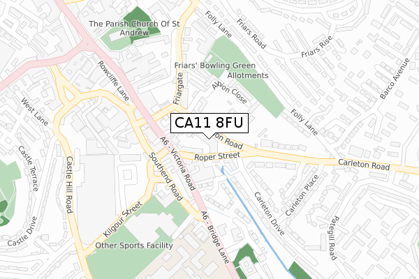
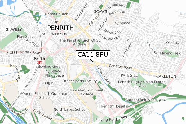
CA11 8FU maps


Source: OS Open Zoomstack (Ordnance Survey)
Licence: Open Government Licence (requires attribution)
Attribution: Contains OS data © Crown copyright and database right 2026
Source: Open Postcode Geo
Licence: Open Government Licence (requires attribution)
Attribution: Contains OS data © Crown copyright and database right 2026; Contains Royal Mail data © Royal Mail copyright and database right 2026; Source: Office for National Statistics licensed under the Open Government Licence v.3.0
Licence: Open Government Licence (requires attribution)
Attribution: Contains OS data © Crown copyright and database right 2026
Source: Open Postcode Geo
Licence: Open Government Licence (requires attribution)
Attribution: Contains OS data © Crown copyright and database right 2026; Contains Royal Mail data © Royal Mail copyright and database right 2026; Source: Office for National Statistics licensed under the Open Government Licence v.3.0
CA11 8FU geodata
| Easting | 353116 |
| Northing | 529788 |
| Latitude | 54.660992 |
| Longitude | -2.728315 |
Where is CA11 8FU?
| Country | England |
| Postcode District | CA11 |
Politics
| Ward | Penrith South |
|---|---|
| Constituency | Penrith And The Border |
House Prices
Sales of detached houses in CA11 8FU
37, BURNEY ROAD, CARLETON VILLAGE, PENRITH, CA11 8FU 2025 1 APR £437,500 |
25, BURNEY ROAD, CARLETON VILLAGE, PENRITH, CA11 8FU 2025 14 FEB £335,000 |
8, BURNEY ROAD, CARLETON VILLAGE, PENRITH, CA11 8FU 2023 10 FEB £295,950 |
41, BURNEY ROAD, CARLETON VILLAGE, PENRITH, CA11 8FU 2022 9 DEC £325,950 |
43, BURNEY ROAD, CARLETON VILLAGE, PENRITH, CA11 8FU 2022 7 DEC £294,950 |
37, BURNEY ROAD, CARLETON VILLAGE, PENRITH, CA11 8FU 2022 25 NOV £394,950 |
39, BURNEY ROAD, CARLETON VILLAGE, PENRITH, CA11 8FU 2022 18 NOV £469,950 |
35, BURNEY ROAD, CARLETON VILLAGE, PENRITH, CA11 8FU 2022 11 NOV £459,950 |
33, BURNEY ROAD, CARLETON VILLAGE, PENRITH, CA11 8FU 2022 28 OCT £359,950 |
31, BURNEY ROAD, CARLETON VILLAGE, PENRITH, CA11 8FU 2022 14 OCT £389,950 |
Source: HM Land Registry Price Paid Data
Licence: Contains HM Land Registry data © Crown copyright and database right 2026. This data is licensed under the Open Government Licence v3.0.
Licence: Contains HM Land Registry data © Crown copyright and database right 2026. This data is licensed under the Open Government Licence v3.0.
Transport
Nearest bus stops to CA11 8FU
| Oak Road | Carleton | 352m |
| Barco (Carleton Road) | Carleton | 852m |
| Pategill Road | Pategill | 950m |
| Pategill Road | Pategill | 969m |
| Pennine Way (Brentfield Way) | Scaws | 1,007m |
Nearest railway stations to CA11 8FU
| Penrith North Lakes Station | 2km |
| Langwathby Station | 5.6km |
Deprivation
17.6% of English postcodes are less deprived than CA11 8FU:Food Standards Agency
Three nearest food hygiene ratings to CA11 8FU (metres)
Penrith AFC Limited

Frenchfield Park
380m
Hunter Hall School

Carleton
380m
Little Oaks at Muddy Boots

Oak Road
433m
➜ Get more ratings from the Food Standards Agency
Nearest post box to CA11 8FU
| Last Collection | |||
|---|---|---|---|
| Location | Mon-Fri | Sat | Distance |
| Carlton | 16:45 | 11:45 | 191m |
| High Carleton | 18:30 | 11:45 | 360m |
| Carlton Heights | 17:30 | 12:00 | 468m |
CA11 8FU ITL and CA11 8FU LAU
The below table lists the International Territorial Level (ITL) codes (formerly Nomenclature of Territorial Units for Statistics (NUTS) codes) and Local Administrative Units (LAU) codes for CA11 8FU:
| ITL 1 Code | Name |
|---|---|
| TLD | North West (England) |
| ITL 2 Code | Name |
| TLD1 | Cumbria |
| ITL 3 Code | Name |
| TLD12 | East Cumbria |
| LAU 1 Code | Name |
| E07000030 | Eden |
CA11 8FU census areas
The below table lists the Census Output Area (OA), Lower Layer Super Output Area (LSOA), and Middle Layer Super Output Area (MSOA) for CA11 8FU:
| Code | Name | |
|---|---|---|
| OA | E00097671 | |
| LSOA | E01019326 | Eden 004B |
| MSOA | E02004011 | Eden 004 |
Nearest postcodes to CA11 8FU
| CA11 8RU | Harthwaite Gardens | 80m |
| CA11 8TY | 120m | |
| CA11 8TP | 126m | |
| CA11 8TX | Frenchfield Gardens | 157m |
| CA11 8TW | Frenchfield Way | 213m |
| CA11 8WG | Apple Tree Gardens | 249m |
| CA11 8WF | Hawthorn Drive | 255m |
| CA11 8TN | Birch Crescent | 303m |
| CA11 8WD | Beech Close | 321m |
| CA11 8TL | Chestnut Close | 327m |