Search properties, postcodes, flood maps:
BR1 2GN maps, stats, and open data
BR1 2GN is located in the Bickley & Sundridge electoral ward, within the London borough of Bromley and the English Parliamentary constituency of Bromley and Chislehurst. The Sub Integrated Care Board (ICB) Location is NHS South East London ICB - 72Q and the police force is Metropolitan Police. This postcode has been in use since February 2020.
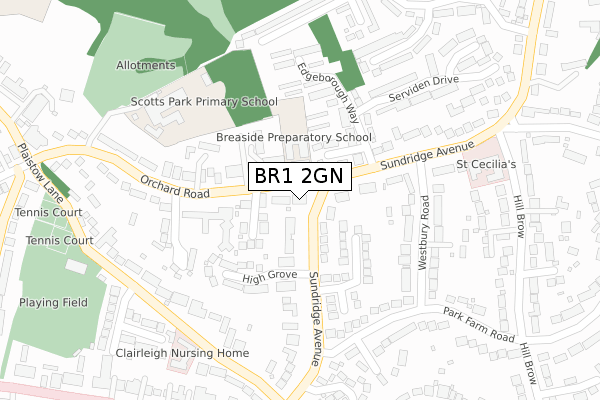
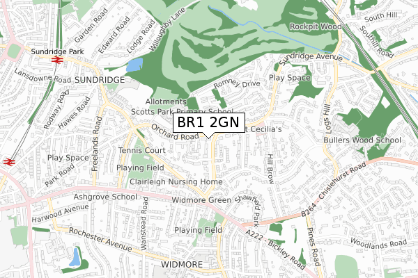
BR1 2GN maps


Source: OS Open Zoomstack (Ordnance Survey)
Licence: Open Government Licence (requires attribution)
Attribution: Contains OS data © Crown copyright and database right 2026
Source: Open Postcode Geo
Licence: Open Government Licence (requires attribution)
Attribution: Contains OS data © Crown copyright and database right 2026; Contains Royal Mail data © Royal Mail copyright and database right 2026; Source: Office for National Statistics licensed under the Open Government Licence v.3.0
Licence: Open Government Licence (requires attribution)
Attribution: Contains OS data © Crown copyright and database right 2026
Source: Open Postcode Geo
Licence: Open Government Licence (requires attribution)
Attribution: Contains OS data © Crown copyright and database right 2026; Contains Royal Mail data © Royal Mail copyright and database right 2026; Source: Office for National Statistics licensed under the Open Government Licence v.3.0
BR1 2GN geodata
| Easting | 541582 |
| Northing | 169796 |
| Latitude | 51.409519 |
| Longitude | 0.034355 |
Where is BR1 2GN?
| Country | England |
| Postcode District | BR1 |
Politics
| Ward | Bickley & Sundridge |
|---|---|
| Constituency | Bromley And Chislehurst |
Transport
Nearest bus stops to BR1 2GN
| Baytree Close | Sundridge | 82m |
| Baytree Close (Orchard Road) | Sundridge | 119m |
| Ripley Arts Centre | Sundridge | 157m |
| Hill Brow | Sundridge | 199m |
| Scotts Park School (Orchard Road) | Sundridge | 284m |
Nearest railway stations to BR1 2GN
| Sundridge Park Station | 1km |
| Elmstead Woods Station | 1.1km |
| Bromley North Station | 1.2km |
Deprivation
23.2% of English postcodes are less deprived than BR1 2GN:Food Standards Agency
Three nearest food hygiene ratings to BR1 2GN (metres)
Nettlestead

19 Sundridge Avenue
166m
Scotts Park Primary School

Orchard Road
254m
Buddies Club

Scotts Park Primary School
254m
➜ Get more ratings from the Food Standards Agency
Nearest post box to BR1 2GN
| Last Collection | |||
|---|---|---|---|
| Location | Mon-Fri | Sat | Distance |
| Orchard Road (42) | 18:00 | 12:00 | 62m |
| Widmore Road (Tso) | 18:30 | 12:00 | 378m |
| Wanstead Road | 18:00 | 12:00 | 509m |
BR1 2GN ITL and BR1 2GN LAU
The below table lists the International Territorial Level (ITL) codes (formerly Nomenclature of Territorial Units for Statistics (NUTS) codes) and Local Administrative Units (LAU) codes for BR1 2GN:
| ITL 1 Code | Name |
|---|---|
| TLI | London |
| ITL 2 Code | Name |
| TLI6 | Outer London - South |
| ITL 3 Code | Name |
| TLI61 | Bromley |
| LAU 1 Code | Name |
| E09000006 | Bromley |
BR1 2GN census areas
The below table lists the Census Output Area (OA), Lower Layer Super Output Area (LSOA), and Middle Layer Super Output Area (MSOA) for BR1 2GN:
| Code | Name | |
|---|---|---|
| OA | E00003129 | |
| LSOA | E01000653 | Bromley 016D |
| MSOA | E02000142 | Bromley 016 |
Nearest postcodes to BR1 2GN
| BR1 2PX | Sundridge Avenue | 56m |
| BR1 2TS | Bay Tree Close | 77m |
| BR1 2TT | Orchard Road | 81m |
| BR1 2UD | Harton Close | 102m |
| BR1 2TG | Orchard Road | 123m |
| BR1 2PW | Copley Dene | 130m |
| BR1 2WH | High Grove | 158m |
| BR1 2PU | Sundridge Avenue | 166m |
| BR1 2UA | Edgeborough Way | 178m |
| BR1 2UJ | Ashmead Gate | 206m |