Search properties, postcodes, flood maps:
B1 3BQ maps, stats, and open data
B1 3BQ is located in the Soho & Jewellery Quarter electoral ward, within the metropolitan district of Birmingham and the English Parliamentary constituency of Birmingham, Ladywood. The Sub Integrated Care Board (ICB) Location is NHS Birmingham and Solihull ICB - 15E and the police force is West Midlands. This postcode has been in use since September 2019.
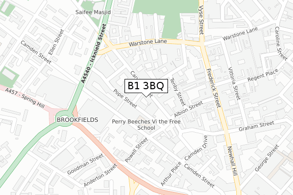
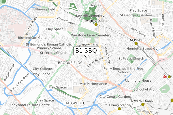
B1 3BQ maps


Source: OS Open Zoomstack (Ordnance Survey)
Licence: Open Government Licence (requires attribution)
Attribution: Contains OS data © Crown copyright and database right 2026
Source: Open Postcode Geo
Licence: Open Government Licence (requires attribution)
Attribution: Contains OS data © Crown copyright and database right 2026; Contains Royal Mail data © Royal Mail copyright and database right 2026; Source: Office for National Statistics licensed under the Open Government Licence v.3.0
Licence: Open Government Licence (requires attribution)
Attribution: Contains OS data © Crown copyright and database right 2026
Source: Open Postcode Geo
Licence: Open Government Licence (requires attribution)
Attribution: Contains OS data © Crown copyright and database right 2026; Contains Royal Mail data © Royal Mail copyright and database right 2026; Source: Office for National Statistics licensed under the Open Government Licence v.3.0
B1 3BQ geodata
| Easting | 405844 |
| Northing | 287496 |
| Latitude | 52.485368 |
| Longitude | -1.915365 |
Where is B1 3BQ?
| Country | England |
| Postcode District | B1 |
Politics
| Ward | Soho & Jewellery Quarter |
|---|---|
| Constituency | Birmingham, Ladywood |
Transport
Nearest bus stops to B1 3BQ
| Carver St (Warstone Lane) | Jewellery Quarter | 191m |
| Carver St (Warstone Lane) | Jewellery Quarter | 206m |
| Spring Hill Island (Icknield St) | Jewellery Quarter | 211m |
| Spring Hill Island (Summer Hill Rd) | Jewellery Quarter | 222m |
| Spring Hill Island (Icknield St) | Jewellery Quarter | 233m |
Nearest underground/metro/tram to B1 3BQ
| Jewellery Quarter (Midland Metro Stop) (Vyse St Hockley) | Jewellery Quarter | 501m |
| St Paul's (Midland Metro Stop) (Livery Street) | Jewellery Quarter | 791m |
| Snow Hill (Midland Metro Stop) (Colmore Row) | Birmingham | 1,118m |
| Grand Central New Street (Midland Metro Stop) (Stephenson Street) | Birmingham | 1,324m |
| Bull Street (Midland Metro Stop) (Bull Street) | Birmingham | 1,351m |
Nearest railway stations to B1 3BQ
| Jewellery Quarter Station | 0.5km |
| Birmingham Snow Hill Station | 1.1km |
| Birmingham New Street Station | 1.3km |
Deprivation
54.3% of English postcodes are less deprived than B1 3BQ:Food Standards Agency
Three nearest food hygiene ratings to B1 3BQ (metres)
Lekker
22 Carver Street
12m
Mellors Catering Services
St Georges Court
114m
Jewellery Quarter Academy

St Georges Court
114m
➜ Get more ratings from the Food Standards Agency
Nearest post box to B1 3BQ
| Last Collection | |||
|---|---|---|---|
| Location | Mon-Fri | Sat | Distance |
| Camden St / Albion St | 18:30 | 12:30 | 147m |
| Frederick St / Legge Lane | 18:30 | 12:30 | 285m |
| The Parade Summerhill Road | 17:30 | 12:30 | 316m |
B1 3BQ ITL and B1 3BQ LAU
The below table lists the International Territorial Level (ITL) codes (formerly Nomenclature of Territorial Units for Statistics (NUTS) codes) and Local Administrative Units (LAU) codes for B1 3BQ:
| ITL 1 Code | Name |
|---|---|
| TLG | West Midlands (England) |
| ITL 2 Code | Name |
| TLG3 | West Midlands |
| ITL 3 Code | Name |
| TLG31 | Birmingham |
| LAU 1 Code | Name |
| E08000025 | Birmingham |
B1 3BQ census areas
The below table lists the Census Output Area (OA), Lower Layer Super Output Area (LSOA), and Middle Layer Super Output Area (MSOA) for B1 3BQ:
| Code | Name | |
|---|---|---|
| OA | E00175633 | |
| LSOA | E01033619 | Birmingham 137D |
| MSOA | E02006898 | Birmingham 137 |
Nearest postcodes to B1 3BQ
| B1 3AS | Carver Street | 36m |
| B1 3AQ | Carver Street | 48m |
| B1 3ES | Tenby Street North | 58m |
| B1 3AL | Carver Street | 68m |
| B1 3AP | Carver Street | 82m |
| B1 3EG | Tenby Street North | 83m |
| B1 3AJ | Tenby Street | 92m |
| B1 3ED | Albion Street | 101m |
| B1 3EL | Tenby Street | 114m |
| B18 6PG | Warstone Lane | 129m |