Where is Mol-chlach?
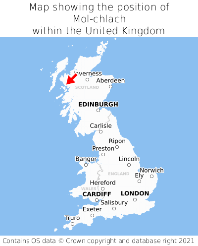
Mol-chlach is located in the county of Ross and Cromarty, Scotland, 37 miles north of the town of Tobermory, 117 miles north-west of the major city of Glasgow, 142 miles north-west of Edinburgh, 411 miles north of Cardiff, and 460 miles north-west of London. Mol-chlach lies seven miles west of the Inverness border, and was historically in the county of Inverness-shire. Mol-chlach falls within the unitary authority of Highland. It is in the PH41 postcode district. The post town for Mol-chlach is Mallaig.
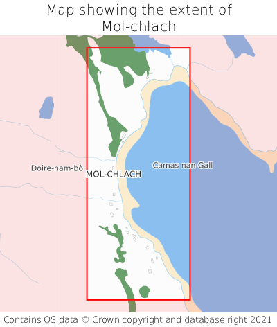
Mol-chlach on a map


Which county is Mol-chlach in?
Mol-chlach is in the ceremonial county of Ross and Cromarty, the historic county of Inverness-shire, and the administrative county of Highland.
| Ceremonial County | Ross and Cromarty |
|---|---|
| Historic County | Inverness-shire |
| Administrative County | Highland |
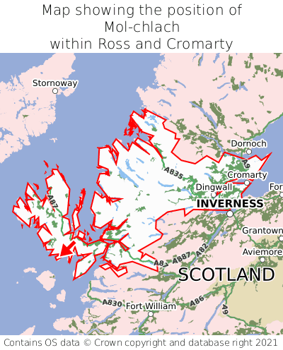
Where is Mol-chlach in Ross and Cromarty?
Mol-chlach is situated towards the southernmost extremity of Ross and Cromarty, and towards the westernmost extremity of Ross and Cromarty.

What is the postcode for Mol-chlach?
The nearest postcode to the centre of Mol-chlach is PH41 4PS.
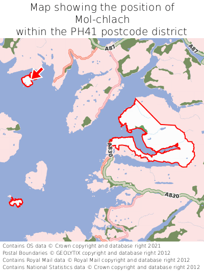
Where is Mol-chlach in PH41?
Mol-chlach is situated towards the northernmost extremity of the PH41 postcode district, and towards the westernmost extremity of the PH41 postcode district.

What is the post town for Mol-chlach?
The post town for Mol-chlach is Mallaig. Mol-chlach is in the PH41 postcode district, which corresponds to the post town of Mallaig.
What is the latitude and longitude of Mol-chlach?
The centre of Mol-chlach is located at position 57.14668° latitude and -6.21265° longitude.
| Latitude | 57.14668° |
|---|---|
| Longitude | -6.21265° |
What is the easting and northing of Mol-chlach?
The centre of Mol-chlach is located at the grid reference easting 145284 and northing 814075 within the British National Grid (OSGB36) system.
| Easting | 145284 |
|---|---|
| Northing | 814075 |
What are the nearest towns to Mol-chlach?
Position of Mol-chlach relative to nearby towns. Distance is measured from the centre of Mol-chlach to the centre of the town.
What are the nearest cities to Mol-chlach?
Position of Mol-chlach relative to nearby cities. Distance is measured from the centre of Mol-chlach to the centre of the city.