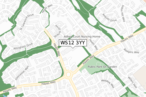
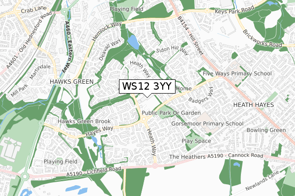
WS12 3YY is located in the Hawks Green electoral ward, within the local authority district of Cannock Chase and the English Parliamentary constituency of Cannock Chase. The Sub Integrated Care Board (ICB) Location is NHS Staffordshire and Stoke-on-Trent ICB - 04Y and the police force is Staffordshire. This postcode has been in use since March 2003.


GetTheData
Source: OS Open Zoomstack (Ordnance Survey)
Licence: Open Government Licence (requires attribution)
Attribution: Contains OS data © Crown copyright and database right 2025
Source: Open Postcode Geo
Licence: Open Government Licence (requires attribution)
Attribution: Contains OS data © Crown copyright and database right 2025; Contains Royal Mail data © Royal Mail copyright and database right 2025; Source: Office for National Statistics licensed under the Open Government Licence v.3.0
| Easting | 400168 |
| Northing | 310496 |
| Latitude | 52.692148 |
| Longitude | -1.998951 |
GetTheData
Source: Open Postcode Geo
Licence: Open Government Licence
| Country | England |
| Postcode District | WS12 |
➜ See where WS12 is on a map ➜ Where is Cannock? | |
GetTheData
Source: Land Registry Price Paid Data
Licence: Open Government Licence
Elevation or altitude of WS12 3YY as distance above sea level:
| Metres | Feet | |
|---|---|---|
| Elevation | 170m | 558ft |
Elevation is measured from the approximate centre of the postcode, to the nearest point on an OS contour line from OS Terrain 50, which has contour spacing of ten vertical metres.
➜ How high above sea level am I? Find the elevation of your current position using your device's GPS.
GetTheData
Source: Open Postcode Elevation
Licence: Open Government Licence
| Ward | Hawks Green |
| Constituency | Cannock Chase |
GetTheData
Source: ONS Postcode Database
Licence: Open Government Licence
| Tesco (Hayes Way) | Hawks Green | 69m |
| Tesco Store (Hayes Way) | Hawks Green | 126m |
| Tesco Store (Hayes Way) | Hawks Green | 145m |
| Badgers Way (Hayes Way) | Hawks Green | 221m |
| Badgers Way (Hayes Way) | Hawks Green | 243m |
| Cannock Station | 1.7km |
| Hednesford Station | 2km |
| Landywood Station | 4.2km |
GetTheData
Source: NaPTAN
Licence: Open Government Licence
GetTheData
Source: ONS Postcode Database
Licence: Open Government Licence


➜ Get more ratings from the Food Standards Agency
GetTheData
Source: Food Standards Agency
Licence: FSA terms & conditions
| Last Collection | |||
|---|---|---|---|
| Location | Mon-Fri | Sat | Distance |
| Cannock Delivery Office | 18:30 | 12:00 | 883m |
| Cannock Post Office | 18:30 | 12:15 | 1,275m |
| Market Street | 18:00 | 11:15 | 1,777m |
GetTheData
Source: Dracos
Licence: Creative Commons Attribution-ShareAlike
The below table lists the International Territorial Level (ITL) codes (formerly Nomenclature of Territorial Units for Statistics (NUTS) codes) and Local Administrative Units (LAU) codes for WS12 3YY:
| ITL 1 Code | Name |
|---|---|
| TLG | West Midlands (England) |
| ITL 2 Code | Name |
| TLG2 | Shropshire and Staffordshire |
| ITL 3 Code | Name |
| TLG24 | Staffordshire CC |
| LAU 1 Code | Name |
| E07000192 | Cannock Chase |
GetTheData
Source: ONS Postcode Directory
Licence: Open Government Licence
The below table lists the Census Output Area (OA), Lower Layer Super Output Area (LSOA), and Middle Layer Super Output Area (MSOA) for WS12 3YY:
| Code | Name | |
|---|---|---|
| OA | E00149684 | |
| LSOA | E01029376 | Cannock Chase 010B |
| MSOA | E02006127 | Cannock Chase 010 |
GetTheData
Source: ONS Postcode Directory
Licence: Open Government Licence
| WS12 3XP | Hawks Green District Centre | 49m |
| WS11 7UA | Vivaldi Drive | 92m |
| WS11 7WT | Heath Way | 131m |
| WS11 7WA | Heath Way | 146m |
| WS11 7UB | Purcell Close | 153m |
| WS11 7UD | Strauss Drive | 174m |
| WS11 7WN | Greig Court | 174m |
| WS11 7WF | Acorn Close | 189m |
| WS11 7YT | Shugborough Way | 194m |
| WS11 7YX | Weston Close | 206m |
GetTheData
Source: Open Postcode Geo; Land Registry Price Paid Data
Licence: Open Government Licence