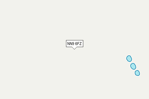
NN9 6FZ is located in the Irthlingborough electoral ward, within the unitary authority of North Northamptonshire and the English Parliamentary constituency of Corby. The Sub Integrated Care Board (ICB) Location is NHS Northamptonshire ICB - 78H and the police force is Northamptonshire. This postcode has been in use since April 2015.


GetTheData
Source: OS OpenMap – Local (Ordnance Survey)
Source: OS VectorMap District (Ordnance Survey)
Licence: Open Government Licence (requires attribution)
| Easting | 498127 |
| Northing | 274038 |
| Latitude | 52.355632 |
| Longitude | -0.560613 |
GetTheData
Source: Open Postcode Geo
Licence: Open Government Licence
| Country | England |
| Postcode District | NN9 |
| ➜ NN9 open data dashboard ➜ See where NN9 is on a map | |
GetTheData
Source: Land Registry Price Paid Data
Licence: Open Government Licence
Elevation or altitude of NN9 6FZ as distance above sea level:
| Metres | Feet | |
|---|---|---|
| Elevation | 60m | 197ft |
Elevation is measured from the approximate centre of the postcode, to the nearest point on an OS contour line from OS Terrain 50, which has contour spacing of ten vertical metres.
➜ How high above sea level am I? Find the elevation of your current position using your device's GPS.
GetTheData
Source: Open Postcode Elevation
Licence: Open Government Licence
| Ward | Irthlingborough |
| Constituency | Corby |
GetTheData
Source: ONS Postcode Database
Licence: Open Government Licence
| Football Club (Brick Kiln Road) | Raunds | 1,122m |
| Brook Walk (Carlow Road) | Ringstead | 1,212m |
| Brook Walk (Carlow Road) | Ringstead | 1,213m |
| Pound Close (Church Street) | Ringstead | 1,247m |
| Pound Close (Church Street) | Ringstead | 1,270m |
GetTheData
Source: NaPTAN
Licence: Open Government Licence
GetTheData
Source: ONS Postcode Database
Licence: Open Government Licence


➜ Get more ratings from the Food Standards Agency
GetTheData
Source: Food Standards Agency
Licence: FSA terms & conditions
| Last Collection | |||
|---|---|---|---|
| Location | Mon-Fri | Sat | Distance |
| Mallows Drive | 16:45 | 08:30 | 1,311m |
| Marshalls Road | 16:15 | 08:00 | 1,872m |
| Chelveston Tso | 16:15 | 10:45 | 4,558m |
GetTheData
Source: Dracos
Licence: Creative Commons Attribution-ShareAlike
| Facility | Distance |
|---|---|
| Kiln Park London Road, Raunds, Wellingborough Grass Pitches | 1km |
| Gladstone Street Recreation Ground Gladstone Street, Ringstead Grass Pitches | 1.6km |
| Windmill Primary School Windmill Lane, Raunds, Wellingborough Grass Pitches, Sports Hall | 1.7km |
GetTheData
Source: Active Places
Licence: Open Government Licence
| School | Phase of Education | Distance |
|---|---|---|
| Ringstead Church of England Primary School Church Street, Ringstead, Kettering, NN14 4DH | Primary | 1.2km |
| Windmill Primary School Windmill Lane, Raunds, Wellingborough, NN9 6LA | Primary | 1.7km |
| Raunds Park Infant School Park Street, Raunds, Wellingborough, NN9 6NB | Primary | 2.4km |
GetTheData
Source: Edubase
Licence: Open Government Licence
The below table lists the International Territorial Level (ITL) codes (formerly Nomenclature of Territorial Units for Statistics (NUTS) codes) and Local Administrative Units (LAU) codes for NN9 6FZ:
| ITL 1 Code | Name |
|---|---|
| TLF | East Midlands (England) |
| ITL 2 Code | Name |
| TLF2 | Leicestershire, Rutland and Northamptonshire |
| ITL 3 Code | Name |
| TLF25 | North Northamptonshire |
| LAU 1 Code | Name |
| E07000152 | East Northamptonshire |
GetTheData
Source: ONS Postcode Directory
Licence: Open Government Licence
The below table lists the Census Output Area (OA), Lower Layer Super Output Area (LSOA), and Middle Layer Super Output Area (MSOA) for NN9 6FZ:
| Code | Name | |
|---|---|---|
| OA | E00137629 | |
| LSOA | E01027057 | East Northamptonshire 004A |
| MSOA | E02005632 | East Northamptonshire 004 |
GetTheData
Source: ONS Postcode Directory
Licence: Open Government Licence
| NN14 4TW | Kinewell Close | 1013m |
| NN14 4TT | Kingfisher Close | 1041m |
| NN9 6EQ | London Road | 1048m |
| NN14 4TY | Tithe Close | 1079m |
| NN14 4TZ | Meadow Close | 1148m |
| NN14 4FH | Middlefield Close | 1150m |
| NN14 4DH | Church Street | 1164m |
| NN14 4DN | Carlow Street | 1173m |
| NN14 4DL | Chapel Street | 1184m |
| NN9 6SD | St Crispins Way | 1191m |
GetTheData
Source: Open Postcode Geo; Land Registry Price Paid Data
Licence: Open Government Licence