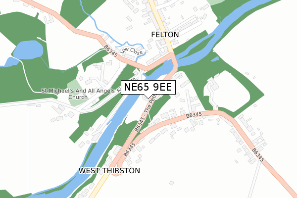
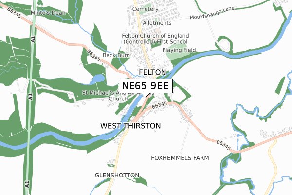
NE65 9EE is in West Thirston, Morpeth. NE65 9EE is located in the Longhorsley electoral ward, within the unitary authority of Northumberland and the English Parliamentary constituency of Berwick-upon-Tweed. The Sub Integrated Care Board (ICB) Location is NHS North East and North Cumbria ICB - 00L and the police force is Northumbria. This postcode has been in use since January 1980.


GetTheData
Source: OS Open Zoomstack (Ordnance Survey)
Licence: Open Government Licence (requires attribution)
Attribution: Contains OS data © Crown copyright and database right 2025
Source: Open Postcode Geo
Licence: Open Government Licence (requires attribution)
Attribution: Contains OS data © Crown copyright and database right 2025; Contains Royal Mail data © Royal Mail copyright and database right 2025; Source: Office for National Statistics licensed under the Open Government Licence v.3.0
| Easting | 418446 |
| Northing | 600189 |
| Latitude | 55.295471 |
| Longitude | -1.711055 |
GetTheData
Source: Open Postcode Geo
Licence: Open Government Licence
| Locality | West Thirston |
| Town/City | Morpeth |
| Country | England |
| Postcode District | NE65 |
➜ See where NE65 is on a map ➜ Where is West Thirston? | |
GetTheData
Source: Land Registry Price Paid Data
Licence: Open Government Licence
Elevation or altitude of NE65 9EE as distance above sea level:
| Metres | Feet | |
|---|---|---|
| Elevation | 30m | 98ft |
Elevation is measured from the approximate centre of the postcode, to the nearest point on an OS contour line from OS Terrain 50, which has contour spacing of ten vertical metres.
➜ How high above sea level am I? Find the elevation of your current position using your device's GPS.
GetTheData
Source: Open Postcode Elevation
Licence: Open Government Licence
| Ward | Longhorsley |
| Constituency | Berwick-upon-tweed |
GetTheData
Source: ONS Postcode Database
Licence: Open Government Licence
| Felton Bridge (The Peth) | West Thirston | 79m |
| Felton Bridge (The Peth) | West Thirston | 92m |
| Thirston Road End (The Peth) | West Thirston | 311m |
| Thirston Road End (The Peth) | West Thirston | 323m |
| Gallery 45 (Main Street) | Felton | 362m |
| Acklington Station | 4km |
GetTheData
Source: NaPTAN
Licence: Open Government Licence
GetTheData
Source: ONS Postcode Database
Licence: Open Government Licence


➜ Get more ratings from the Food Standards Agency
GetTheData
Source: Food Standards Agency
Licence: FSA terms & conditions
| Last Collection | |||
|---|---|---|---|
| Location | Mon-Fri | Sat | Distance |
| West Thirston | 17:15 | 09:00 | 376m |
| Davison Avenue | 17:15 | 09:45 | 660m |
| Felton Post Office | 17:30 | 11:30 | 692m |
GetTheData
Source: Dracos
Licence: Creative Commons Attribution-ShareAlike
| Risk of NE65 9EE flooding from rivers and sea | Medium |
| ➜ NE65 9EE flood map | |
GetTheData
Source: Open Flood Risk by Postcode
Licence: Open Government Licence
The below table lists the International Territorial Level (ITL) codes (formerly Nomenclature of Territorial Units for Statistics (NUTS) codes) and Local Administrative Units (LAU) codes for NE65 9EE:
| ITL 1 Code | Name |
|---|---|
| TLC | North East (England) |
| ITL 2 Code | Name |
| TLC2 | Northumberland, and Tyne and Wear |
| ITL 3 Code | Name |
| TLC21 | Northumberland |
| LAU 1 Code | Name |
| E06000057 | Northumberland |
GetTheData
Source: ONS Postcode Directory
Licence: Open Government Licence
The below table lists the Census Output Area (OA), Lower Layer Super Output Area (LSOA), and Middle Layer Super Output Area (MSOA) for NE65 9EE:
| Code | Name | |
|---|---|---|
| OA | E00139709 | |
| LSOA | E01027450 | Northumberland 015C |
| MSOA | E02005722 | Northumberland 015 |
GetTheData
Source: ONS Postcode Directory
Licence: Open Government Licence
| NE65 9ED | Bridge End | 90m |
| NE65 9EF | 122m | |
| NE65 9EA | Riverside | 150m |
| NE65 9FF | Low Close | 156m |
| NE65 9HP | 179m | |
| NE65 9HL | 209m | |
| NE65 9HR | 219m | |
| NE65 9HQ | Burn Close | 221m |
| NE65 9PP | Main Street | 253m |
| NE65 9PN | Main Street | 256m |
GetTheData
Source: Open Postcode Geo; Land Registry Price Paid Data
Licence: Open Government Licence