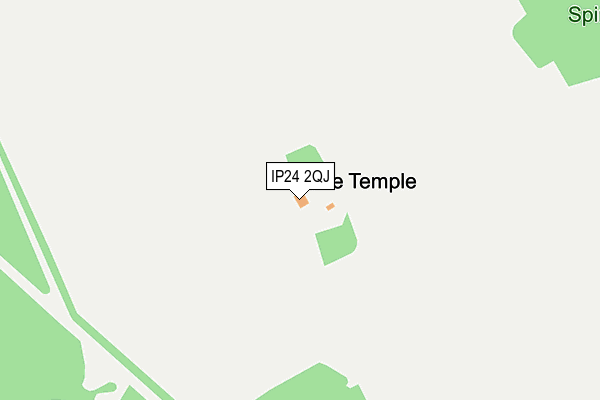
IP24 2QJ is located in the Bardwell electoral ward, within the local authority district of West Suffolk and the English Parliamentary constituency of West Suffolk. The Sub Integrated Care Board (ICB) Location is NHS Suffolk and North East Essex ICB - 06L and the police force is Suffolk. This postcode has been in use since January 1980.


GetTheData
Source: OS OpenMap – Local (Ordnance Survey)
Source: OS VectorMap District (Ordnance Survey)
Licence: Open Government Licence (requires attribution)
| Easting | 590040 |
| Northing | 279045 |
| Latitude | 52.376487 |
| Longitude | 0.790503 |
GetTheData
Source: Open Postcode Geo
Licence: Open Government Licence
| Country | England |
| Postcode District | IP24 |
| ➜ IP24 open data dashboard ➜ See where IP24 is on a map | |
GetTheData
Source: Land Registry Price Paid Data
Licence: Open Government Licence
Elevation or altitude of IP24 2QJ as distance above sea level:
| Metres | Feet | |
|---|---|---|
| Elevation | 30m | 98ft |
Elevation is measured from the approximate centre of the postcode, to the nearest point on an OS contour line from OS Terrain 50, which has contour spacing of ten vertical metres.
➜ How high above sea level am I? Find the elevation of your current position using your device's GPS.
GetTheData
Source: Open Postcode Elevation
Licence: Open Government Licence
| Ward | Bardwell |
| Constituency | West Suffolk |
GetTheData
Source: ONS Postcode Database
Licence: Open Government Licence
| June 2022 | Public order | On or near A1088 | 442m |
| June 2022 | Public order | On or near A1088 | 442m |
| April 2022 | Public order | On or near The Street | 287m |
| ➜ Get more crime data in our Crime section | |||
GetTheData
Source: data.police.uk
Licence: Open Government Licence
| Telephone Box (The Street) | Euston | 444m |
| Telephone Box (The Street) | Euston | 448m |
| Barnham Road (A1088) | Euston | 495m |
| Barnham Road (A1088) | Euston | 504m |
| Thetford Station | 5.7km |
GetTheData
Source: NaPTAN
Licence: Open Government Licence
| Percentage of properties with Next Generation Access | 100.0% |
| Percentage of properties with Superfast Broadband | 0.0% |
| Percentage of properties with Ultrafast Broadband | 0.0% |
| Percentage of properties with Full Fibre Broadband | 0.0% |
Superfast Broadband is between 30Mbps and 300Mbps
Ultrafast Broadband is > 300Mbps
| Percentage of properties unable to receive 2Mbps | 0.0% |
| Percentage of properties unable to receive 5Mbps | 0.0% |
| Percentage of properties unable to receive 10Mbps | 0.0% |
| Percentage of properties unable to receive 30Mbps | 100.0% |
GetTheData
Source: Ofcom
Licence: Ofcom Terms of Use (requires attribution)
GetTheData
Source: ONS Postcode Database
Licence: Open Government Licence

➜ Get more ratings from the Food Standards Agency
GetTheData
Source: Food Standards Agency
Licence: FSA terms & conditions
| Last Collection | |||
|---|---|---|---|
| Location | Mon-Fri | Sat | Distance |
| The Square | 15:45 | 11:00 | 441m |
| Park Ride | 16:00 | 09:00 | 2,244m |
| Euston Road | 16:15 | 09:00 | 2,384m |
GetTheData
Source: Dracos
Licence: Creative Commons Attribution-ShareAlike
| Facility | Distance |
|---|---|
| Euston Park Euston, Thetford Grass Pitches | 0m |
| Charles Burrell Centre Staniforth Road, Thetford Grass Pitches, Swimming Pool, Sports Hall | 4.7km |
| Diamond Academy Hillary Road, Thetford Grass Pitches | 4.7km |
GetTheData
Source: Active Places
Licence: Open Government Licence
| School | Phase of Education | Distance |
|---|---|---|
| Barnham Church of England Voluntary Controlled Primary School Mill Lane, Barnham, Nr Thetford, IP24 2NG | Primary | 3.2km |
| The Pinetree School Staniforth Road, Thetford, IP24 3LH | Not applicable | 4.6km |
| Queensway Infant Academy and Nursery Queensway, Thetford, IP24 3DR | Primary | 4.6km |
GetTheData
Source: Edubase
Licence: Open Government Licence
The below table lists the International Territorial Level (ITL) codes (formerly Nomenclature of Territorial Units for Statistics (NUTS) codes) and Local Administrative Units (LAU) codes for IP24 2QJ:
| ITL 1 Code | Name |
|---|---|
| TLH | East |
| ITL 2 Code | Name |
| TLH1 | East Anglia |
| ITL 3 Code | Name |
| TLH14 | Suffolk CC |
| LAU 1 Code | Name |
| E07000245 | West Suffolk |
GetTheData
Source: ONS Postcode Directory
Licence: Open Government Licence
The below table lists the Census Output Area (OA), Lower Layer Super Output Area (LSOA), and Middle Layer Super Output Area (MSOA) for IP24 2QJ:
| Code | Name | |
|---|---|---|
| OA | E00153404 | |
| LSOA | E01030094 | St Edmundsbury 002A |
| MSOA | E02006274 | St Edmundsbury 002 |
GetTheData
Source: ONS Postcode Directory
Licence: Open Government Licence
| IP24 2QL | 338m | |
| IP24 2QT | 2045m | |
| IP24 2NR | Tedder Close | 2282m |
| IP24 2NP | Portal Close | 2315m |
| IP24 2NW | Newall Road | 2348m |
| IP24 2NL | Salmond Drive | 2358m |
| IP24 2NN | Ellington Road | 2392m |
| IP24 2QX | Thetford Road | 2582m |
| IP24 2NJ | Euston Road | 2812m |
| IP24 2QY | 2911m |
GetTheData
Source: Open Postcode Geo; Land Registry Price Paid Data
Licence: Open Government Licence