GU4 8ED maps, stats, and open data
GU4 8ED is located in the Shalford electoral ward, within the local authority district of Guildford and the English Parliamentary constituency of Guildford. The Sub Integrated Care Board (ICB) Location is NHS Surrey Heartlands ICB - 92A and the police force is Surrey. This postcode has been in use since April 1987.
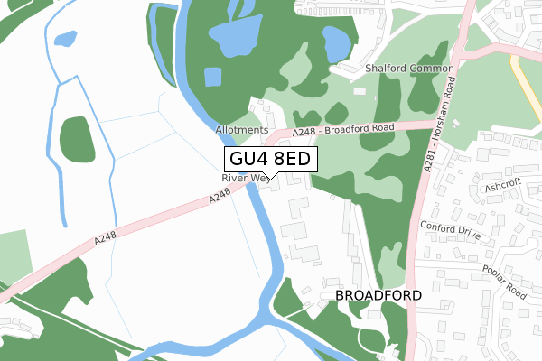
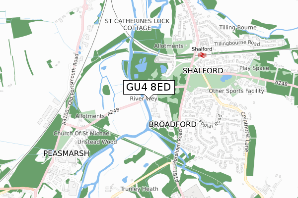
GU4 8ED maps


Licence: Open Government Licence (requires attribution)
Attribution: Contains OS data © Crown copyright and database right 2025
Source: Open Postcode Geo
Licence: Open Government Licence (requires attribution)
Attribution: Contains OS data © Crown copyright and database right 2025; Contains Royal Mail data © Royal Mail copyright and database right 2025; Source: Office for National Statistics licensed under the Open Government Licence v.3.0
GU4 8ED geodata
| Easting | 499752 |
| Northing | 146737 |
| Latitude | 51.211137 |
| Longitude | -0.573317 |
Where is GU4 8ED?
| Country | England |
| Postcode District | GU4 |
GU4 8ED Elevation
Elevation or altitude of GU4 8ED as distance above sea level:
| Metres | Feet | |
|---|---|---|
| Elevation | 40m | 131ft |
Elevation is measured from the approximate centre of the postcode, to the nearest point on an OS contour line from OS Terrain 50, which has contour spacing of ten vertical metres.
➜ How high above sea level am I? Find the elevation of your current position using your device's GPS.
Politics
| Ward | Shalford |
|---|---|
| Constituency | Guildford |
Transport
Nearest bus stops to GU4 8ED
| Broadford Road | Broadford | 27m |
| Broadford Road | Broadford | 40m |
| Poplar Road (Horsham Road) | Shalford | 302m |
| Poplar Road (Horsham Road) | Shalford | 330m |
| Shalford Railway Station (Horsham Road) | Shalford | 443m |
Nearest railway stations to GU4 8ED
| Shalford (Surrey) Station | 0.6km |
| Farncombe Station | 2.7km |
| Guildford Station | 2.9km |
Deprivation
2.3% of English postcodes are less deprived than GU4 8ED:Food Standards Agency
Three nearest food hygiene ratings to GU4 8ED (metres)


➜ Get more ratings from the Food Standards Agency
Nearest post box to GU4 8ED
| Last Collection | |||
|---|---|---|---|
| Location | Mon-Fri | Sat | Distance |
| Broadford Road, Shalford | 17:00 | 12:00 | 98m |
| Tillingbourne Road | 17:30 | 12:00 | 654m |
| Shalford Post Office | 17:00 | 12:00 | 676m |
Environment
| Risk of GU4 8ED flooding from rivers and sea | Medium |
GU4 8ED ITL and GU4 8ED LAU
The below table lists the International Territorial Level (ITL) codes (formerly Nomenclature of Territorial Units for Statistics (NUTS) codes) and Local Administrative Units (LAU) codes for GU4 8ED:
| ITL 1 Code | Name |
|---|---|
| TLJ | South East (England) |
| ITL 2 Code | Name |
| TLJ2 | Surrey, East and West Sussex |
| ITL 3 Code | Name |
| TLJ25 | West Surrey |
| LAU 1 Code | Name |
| E07000209 | Guildford |
GU4 8ED census areas
The below table lists the Census Output Area (OA), Lower Layer Super Output Area (LSOA), and Middle Layer Super Output Area (MSOA) for GU4 8ED:
| Code | Name | |
|---|---|---|
| OA | E00155462 | |
| LSOA | E01030480 | Guildford 017E |
| MSOA | E02006360 | Guildford 017 |
Nearest postcodes to GU4 8ED
| GU4 8DT | Broadford | 41m |
| GU4 8DS | Broadford | 56m |
| GU4 8DW | Broadford | 74m |
| GU4 8EP | Broadford Park Business Centre | 75m |
| GU4 8DP | Broadford | 83m |
| GU4 8DR | Broadford | 121m |
| GU4 8EE | Stonebridge Fields | 198m |
| GU4 8EH | Stonebridge Wharf | 220m |
| GU4 8BX | Juniper Terrace | 252m |
| GU4 8DA | Juniper Place | 300m |