EN9 1LU maps, stats, and open data
EN9 1LU is located in the Waltham Abbey South West electoral ward, within the local authority district of Epping Forest and the English Parliamentary constituency of Epping Forest. The Sub Integrated Care Board (ICB) Location is NHS Hertfordshire and West Essex ICB - 07H and the police force is Essex. This postcode has been in use since August 1992.
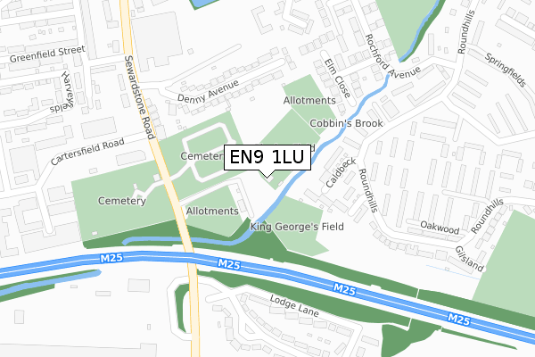
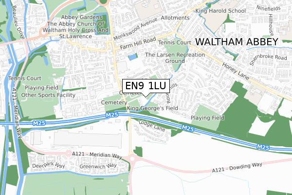
EN9 1LU maps


Licence: Open Government Licence (requires attribution)
Attribution: Contains OS data © Crown copyright and database right 2025
Source: Open Postcode Geo
Licence: Open Government Licence (requires attribution)
Attribution: Contains OS data © Crown copyright and database right 2025; Contains Royal Mail data © Royal Mail copyright and database right 2025; Source: Office for National Statistics licensed under the Open Government Licence v.3.0
EN9 1LU geodata
| Easting | 538735 |
| Northing | 200073 |
| Latitude | 51.682289 |
| Longitude | 0.005349 |
Where is EN9 1LU?
| Country | England |
| Postcode District | EN9 |
EN9 1LU Elevation
Elevation or altitude of EN9 1LU as distance above sea level:
| Metres | Feet | |
|---|---|---|
| Elevation | 20m | 66ft |
Elevation is measured from the approximate centre of the postcode, to the nearest point on an OS contour line from OS Terrain 50, which has contour spacing of ten vertical metres.
➜ How high above sea level am I? Find the elevation of your current position using your device's GPS.
Politics
| Ward | Waltham Abbey South West |
|---|---|
| Constituency | Epping Forest |
Transport
Nearest bus stops to EN9 1LU
| Cartersfield (Sewardstone Road) | Waltham Abbey | 187m |
| Roundhills Pool (Roundhills) | Waltham Abbey | 209m |
| Roundhills Shops (Roundhills) | Waltham Abbey | 248m |
| Beechfield Walk (Sewardstone Road) | Waltham Abbey | 284m |
| Beechfield Walk (Sewardstone Road) | Waltham Abbey | 306m |
Nearest railway stations to EN9 1LU
| Waltham Cross Station | 2.2km |
| Enfield Lock Station | 2.7km |
| Theobalds Grove Station | 3km |
Deprivation
60.8% of English postcodes are less deprived than EN9 1LU:Food Standards Agency
Three nearest food hygiene ratings to EN9 1LU (metres)


➜ Get more ratings from the Food Standards Agency
Nearest post box to EN9 1LU
| Last Collection | |||
|---|---|---|---|
| Location | Mon-Fri | Sat | Distance |
| Windmill Close (Patmore Rd) | 16:30 | 11:30 | 671m |
| Waltham Abbey P.o | 18:30 | 12:00 | 671m |
| Greenyard | 17:30 | 11:30 | 836m |
Environment
| Risk of EN9 1LU flooding from rivers and sea | Very Low |
EN9 1LU ITL and EN9 1LU LAU
The below table lists the International Territorial Level (ITL) codes (formerly Nomenclature of Territorial Units for Statistics (NUTS) codes) and Local Administrative Units (LAU) codes for EN9 1LU:
| ITL 1 Code | Name |
|---|---|
| TLH | East |
| ITL 2 Code | Name |
| TLH3 | Essex |
| ITL 3 Code | Name |
| TLH35 | West Essex |
| LAU 1 Code | Name |
| E07000072 | Epping Forest |
EN9 1LU census areas
The below table lists the Census Output Area (OA), Lower Layer Super Output Area (LSOA), and Middle Layer Super Output Area (MSOA) for EN9 1LU:
| Code | Name | |
|---|---|---|
| OA | E00110835 | |
| LSOA | E01021817 | Epping Forest 008E |
| MSOA | E02004534 | Epping Forest 008 |
Nearest postcodes to EN9 1LU
| EN9 1UR | Caldbeck | 150m |
| EN9 1NT | Denny Avenue | 167m |
| EN9 1UT | Roundhills | 196m |
| EN9 1NS | Denny Avenue | 213m |
| EN9 1TB | Roundhills | 230m |
| EN9 1TA | Mayfield | 230m |
| EN9 1NU | Nobel Villas | 231m |
| EN9 1SQ | Elm Close | 261m |
| EN9 3AD | Lodge Lane | 277m |
| EN9 1SL | Rochford Avenue | 283m |