DN21 4QR maps, stats, and open data
DN21 4QR lies on Main Road in Redbourne, Gainsborough. DN21 4QR is located in the Ridge electoral ward, within the unitary authority of North Lincolnshire and the English Parliamentary constituency of Scunthorpe. The Sub Integrated Care Board (ICB) Location is NHS Humber and North Yorkshire ICB - 03K and the police force is Humberside. This postcode has been in use since January 1980.
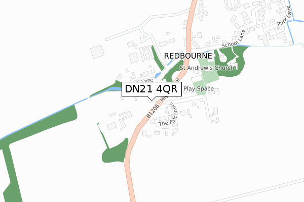
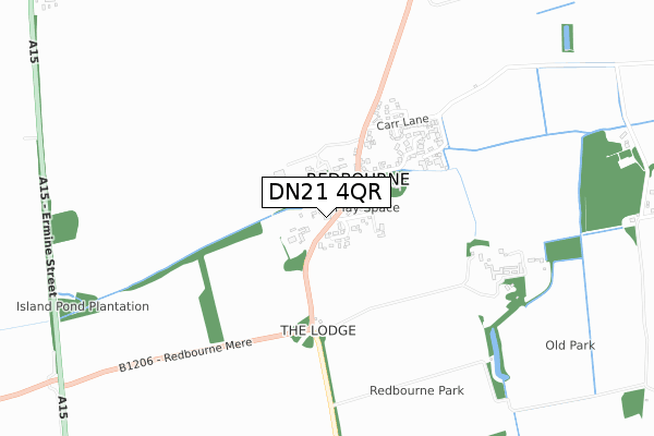
DN21 4QR maps


Licence: Open Government Licence (requires attribution)
Attribution: Contains OS data © Crown copyright and database right 2025
Source: Open Postcode Geo
Licence: Open Government Licence (requires attribution)
Attribution: Contains OS data © Crown copyright and database right 2025; Contains Royal Mail data © Royal Mail copyright and database right 2025; Source: Office for National Statistics licensed under the Open Government Licence v.3.0
DN21 4QR geodata
| Easting | 497155 |
| Northing | 399839 |
| Latitude | 53.486307 |
| Longitude | -0.537271 |
Where is DN21 4QR?
| Street | Main Road |
| Locality | Redbourne |
| Town/City | Gainsborough |
| Country | England |
| Postcode District | DN21 |
DN21 4QR Elevation
Elevation or altitude of DN21 4QR as distance above sea level:
| Metres | Feet | |
|---|---|---|
| Elevation | 20m | 66ft |
Elevation is measured from the approximate centre of the postcode, to the nearest point on an OS contour line from OS Terrain 50, which has contour spacing of ten vertical metres.
➜ How high above sea level am I? Find the elevation of your current position using your device's GPS.
Politics
| Ward | Ridge |
|---|---|
| Constituency | Scunthorpe |
Transport
Nearest bus stops to DN21 4QR
| Demand Responsive Area | Redbourne | 119m |
| Red Lion (High Street) | Redbourne | 161m |
| Red Lion (High Street) | Redbourne | 173m |
| Carr Lane (High Street) | Redbourne | 253m |
| Carr Lane (High Street) | Redbourne | 337m |
Nearest railway stations to DN21 4QR
| Kirton Lindsey Station | 3.8km |
Broadband
Broadband access in DN21 4QR (2020 data)
| Percentage of properties with Next Generation Access | 100.0% |
| Percentage of properties with Superfast Broadband | 100.0% |
| Percentage of properties with Ultrafast Broadband | 0.0% |
| Percentage of properties with Full Fibre Broadband | 0.0% |
Superfast Broadband is between 30Mbps and 300Mbps
Ultrafast Broadband is > 300Mbps
Broadband limitations in DN21 4QR (2020 data)
| Percentage of properties unable to receive 2Mbps | 0.0% |
| Percentage of properties unable to receive 5Mbps | 0.0% |
| Percentage of properties unable to receive 10Mbps | 0.0% |
| Percentage of properties unable to receive 30Mbps | 0.0% |
Deprivation
49.1% of English postcodes are less deprived than DN21 4QR:Food Standards Agency
Three nearest food hygiene ratings to DN21 4QR (metres)

➜ Get more ratings from the Food Standards Agency
Nearest post box to DN21 4QR
| Last Collection | |||
|---|---|---|---|
| Location | Mon-Fri | Sat | Distance |
| School Lane | 16:15 | 07:30 | 226m |
| Carr Lane | 16:15 | 10:00 | 1,200m |
| Pyewipe Farm | 16:00 | 07:30 | 1,731m |
Environment
| Risk of DN21 4QR flooding from rivers and sea | Medium |
DN21 4QR ITL and DN21 4QR LAU
The below table lists the International Territorial Level (ITL) codes (formerly Nomenclature of Territorial Units for Statistics (NUTS) codes) and Local Administrative Units (LAU) codes for DN21 4QR:
| ITL 1 Code | Name |
|---|---|
| TLE | Yorkshire and The Humber |
| ITL 2 Code | Name |
| TLE1 | East Yorkshire and Northern Lincolnshire |
| ITL 3 Code | Name |
| TLE13 | North and North East Lincolnshire |
| LAU 1 Code | Name |
| E06000013 | North Lincolnshire |
DN21 4QR census areas
The below table lists the Census Output Area (OA), Lower Layer Super Output Area (LSOA), and Middle Layer Super Output Area (MSOA) for DN21 4QR:
| Code | Name | |
|---|---|---|
| OA | E00067263 | |
| LSOA | E01013323 | North Lincolnshire 022B |
| MSOA | E02002770 | North Lincolnshire 022 |
Nearest postcodes to DN21 4QR
| DN21 4QS | Beck Lane | 76m |
| DN21 4AS | The Falconers | 97m |
| DN21 4QW | Vicarage Lane | 139m |
| DN21 4QU | Main Road | 255m |
| DN21 4QJ | School Lane | 286m |
| DN21 4QN | The Old School Yard | 387m |
| DN21 4RA | St Andrews Close | 405m |
| DN21 4QY | Council Villas | 422m |
| DN21 4QX | Main Road | 442m |
| DN21 4QL | 474m |