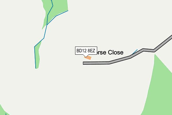
BD12 8EZ is located in the Royds electoral ward, within the metropolitan district of Bradford and the English Parliamentary constituency of Bradford South. The Sub Integrated Care Board (ICB) Location is NHS West Yorkshire ICB - 36J and the police force is West Yorkshire. This postcode has been in use since January 1980.


GetTheData
Source: OS OpenMap – Local (Ordnance Survey)
Source: OS VectorMap District (Ordnance Survey)
Licence: Open Government Licence (requires attribution)
| Easting | 414199 |
| Northing | 427809 |
| Latitude | 53.746480 |
| Longitude | -1.786180 |
GetTheData
Source: Open Postcode Geo
Licence: Open Government Licence
| Country | England |
| Postcode District | BD12 |
| ➜ BD12 open data dashboard ➜ See where BD12 is on a map | |
GetTheData
Source: Land Registry Price Paid Data
Licence: Open Government Licence
Elevation or altitude of BD12 8EZ as distance above sea level:
| Metres | Feet | |
|---|---|---|
| Elevation | 190m | 623ft |
Elevation is measured from the approximate centre of the postcode, to the nearest point on an OS contour line from OS Terrain 50, which has contour spacing of ten vertical metres.
➜ How high above sea level am I? Find the elevation of your current position using your device's GPS.
GetTheData
Source: Open Postcode Elevation
Licence: Open Government Licence
| Ward | Royds |
| Constituency | Bradford South |
GetTheData
Source: ONS Postcode Database
Licence: Open Government Licence
| Village St Watford Avenue (Village Street) | Norwood Green | 838m |
| Village St Watford Avenue (Village Street) | Norwood Green | 850m |
| Fenwick Drive Angerton Wy (Fenwick Drive) | Woodside | 881m |
| Fenwick Drive Howgill Green (Fenwick Drive) | Woodside | 881m |
| Fenwick Drive Middle School (Fenwick Drive) | Woodside | 932m |
| Low Moor Station | 2.2km |
| Halifax Station | 5.3km |
| Bradford Interchange Station | 5.5km |
GetTheData
Source: NaPTAN
Licence: Open Government Licence
| Percentage of properties with Next Generation Access | 100.0% |
| Percentage of properties with Superfast Broadband | 0.0% |
| Percentage of properties with Ultrafast Broadband | 0.0% |
| Percentage of properties with Full Fibre Broadband | 0.0% |
Superfast Broadband is between 30Mbps and 300Mbps
Ultrafast Broadband is > 300Mbps
| Percentage of properties unable to receive 2Mbps | 0.0% |
| Percentage of properties unable to receive 5Mbps | 0.0% |
| Percentage of properties unable to receive 10Mbps | 0.0% |
| Percentage of properties unable to receive 30Mbps | 100.0% |
GetTheData
Source: Ofcom
Licence: Ofcom Terms of Use (requires attribution)
GetTheData
Source: ONS Postcode Database
Licence: Open Government Licence


➜ Get more ratings from the Food Standards Agency
GetTheData
Source: Food Standards Agency
Licence: FSA terms & conditions
| Last Collection | |||
|---|---|---|---|
| Location | Mon-Fri | Sat | Distance |
| 1 Cemetery Road | 17:15 | 12:45 | 1,183m |
| Buttershaw P.o. Box | 17:15 | 11:45 | 1,469m |
| Low Moor Business Box | 18:30 | 11:45 | 1,586m |
GetTheData
Source: Dracos
Licence: Creative Commons Attribution-ShareAlike
| Facility | Distance |
|---|---|
| Woodside Academy Fenwick Drive, Bradford Sports Hall | 871m |
| Appleton Academy Woodside Road, Wyke, Bradford Artificial Grass Pitch, Grass Pitches, Studio, Sports Hall, Health and Fitness Gym, Cycling | 1.1km |
| Woodside Road Recreation Ground (Closed) Woodside Road, Wyke, Bradford Grass Pitches | 1.1km |
GetTheData
Source: Active Places
Licence: Open Government Licence
| School | Phase of Education | Distance |
|---|---|---|
| Woodside Academy Fenwick Drive, Bradford, BD6 2PG | Primary | 875m |
| Appleton Academy Woodside Road, Bradford, BD12 8AL | All-through | 1.1km |
| Hill Top CofE Primary School Common Road, Low Moor, Bradford, BD12 0TL | Primary | 1.5km |
GetTheData
Source: Edubase
Licence: Open Government Licence
The below table lists the International Territorial Level (ITL) codes (formerly Nomenclature of Territorial Units for Statistics (NUTS) codes) and Local Administrative Units (LAU) codes for BD12 8EZ:
| ITL 1 Code | Name |
|---|---|
| TLE | Yorkshire and The Humber |
| ITL 2 Code | Name |
| TLE4 | West Yorkshire |
| ITL 3 Code | Name |
| TLE41 | Bradford |
| LAU 1 Code | Name |
| E08000032 | Bradford |
GetTheData
Source: ONS Postcode Directory
Licence: Open Government Licence
The below table lists the Census Output Area (OA), Lower Layer Super Output Area (LSOA), and Middle Layer Super Output Area (MSOA) for BD12 8EZ:
| Code | Name | |
|---|---|---|
| OA | E00054801 | |
| LSOA | E01010868 | Bradford 061A |
| MSOA | E02002243 | Bradford 061 |
GetTheData
Source: ONS Postcode Directory
Licence: Open Government Licence
| BD12 0EJ | Royds Hall Cottages | 511m |
| BD12 8DX | The Acre | 671m |
| BD12 8EW | Saxon Court | 683m |
| BD12 8EA | The Coppies | 725m |
| HX3 8QL | Watford Avenue | 761m |
| BD12 8DY | Summer Hall Ing | 772m |
| BD6 2NX | Lingdale Road | 775m |
| BD12 8EB | Long Close | 779m |
| BD12 8DS | Summer Hall Ing | 788m |
| BD12 8DU | Short Close | 802m |
GetTheData
Source: Open Postcode Geo; Land Registry Price Paid Data
Licence: Open Government Licence