Wrekenton Nou Camp Yfc
Wrekenton Nou Camp Yfc is located in Wrekenton, Gateshead (NE9), and offers Grass Pitches.
| Address | Springwell Road, Wrekenton, Gateshead, NE9 7XW |
| Management Type | Local Authority (in house) |
| Management Group | Local Authority |
| Owner Type | Local Authority |
| Owner Group | Local Authority |
| Education Phase | Not applicable |
Aliases
Wrekenton Nou Camp Yfc is also known as:
Facilities
| Accessibility | Sports Club / Community Association |
| Management Type | Local Authority (in house) |
| Year Built | 1975 |
| Changing Rooms | No |
| Date Record Checked | 18th Nov 2022 |
| Opening Times | Dawn To Dusk |
Facility specifics
| Accessibility | Sports Club / Community Association |
| Management Type | Local Authority (in house) |
| Changing Rooms | No |
| Date Record Created | 16th Dec 2016 |
| Date Record Checked | 18th Nov 2022 |
| Opening Times | Dawn To Dusk |
Facility specifics
| Accessibility | Sports Club / Community Association |
| Management Type | Local Authority (in house) |
| Changing Rooms | No |
| Date Record Created | 4th Mar 2021 |
| Date Record Checked | 18th Nov 2022 |
| Opening Times | Dawn To Dusk |
Facility specifics
| Accessibility | Sports Club / Community Association |
| Management Type | Local Authority (in house) |
| Changing Rooms | No |
| Date Record Created | 4th Mar 2021 |
| Date Record Checked | 18th Nov 2022 |
| Opening Times | Dawn To Dusk |
Facility specifics
Contact
Where is Wrekenton Nou Camp Yfc?
| Sub Building Name | |
| Building Name | |
| Building Number | 0 |
| Dependent Thoroughfare | |
| Thoroughfare Name | SPRINGWELL ROAD |
| Double Dependent Locality | |
| Dependent Locality | WREKENTON |
| PostTown | GATESHEAD |
| Postcode | NE9 7XW |
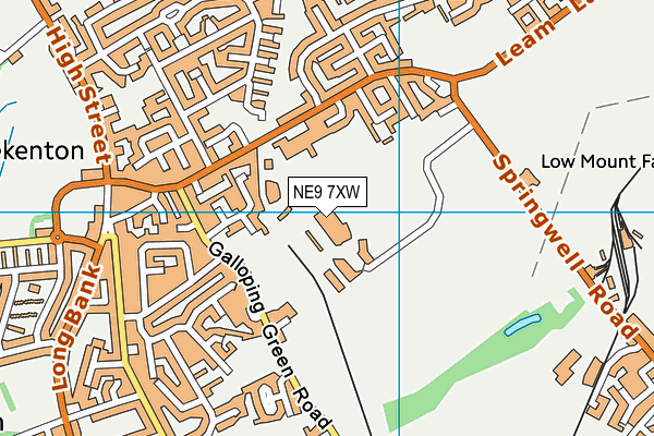
Wrekenton Nou Camp Yfc on a map

Wrekenton Nou Camp Yfc geodata
| Easting | 427956.85 |
| Northing | 558934.85 |
| Latitude | 54.924326 |
| Longitude | -1.565321 |
| Local Authority Name | Sunderland |
| Local Authority Code | E08000024 |
| Parliamentary Constituency Name | Washington and Sunderland West |
| Parliamentary Constituency Code | E14001020 |
| Region Name | North East |
| Region Code | E15000001 |
| Ward Name | Washington West |
| Ward Code | E05001177 |
| Output Area Code | E00045075 |
About this data
This data is open data sourced from Active Places Power and licenced under the Active Places Open Data Licence.
| toid | osgb5000005208228053 |
| Created On | 28th Sep 2005 |
| Audited On | 18th Nov 2022 |
| Checked On | 18th Nov 2022 |
