Where is Slockavullin?
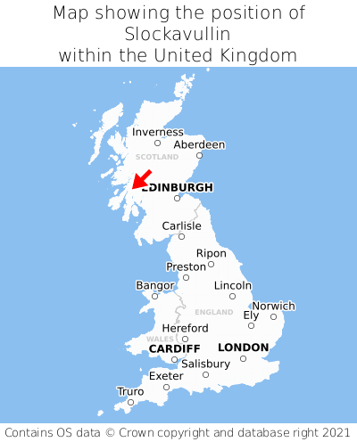
Slockavullin is located in the county of Argyll and Bute, Scotland, six miles north of the town of Lochgilphead, 52 miles west of the major city of Glasgow, 90 miles west of Edinburgh, 335 miles north of Cardiff, and 387 miles north-west of London. Slockavullin was historically in the county of Argyllshire. Slockavullin falls within the unitary authority of Argyll and Bute. It is in the PA31 postcode district. The post town for Slockavullin is Lochgilphead.
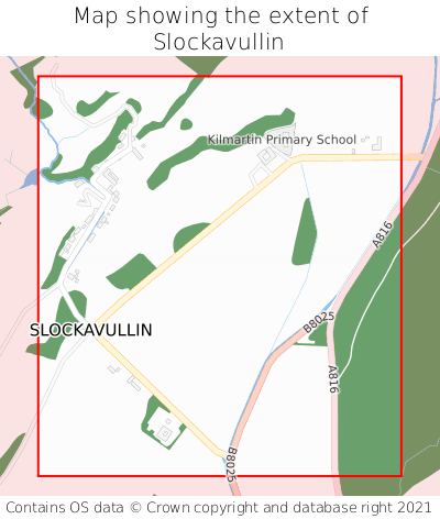
Slockavullin on a map


Which county is Slockavullin in?
Slockavullin is in the ceremonial county of Argyll and Bute, the historic county of Argyllshire, and the administrative county of Argyll and Bute.
| Ceremonial County | Argyll and Bute |
|---|---|
| Historic County | Argyllshire |
| Administrative County | Argyll and Bute |
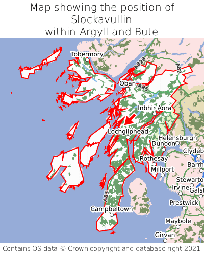
Where is Slockavullin in Argyll and Bute?
Slockavullin is situated roughly centrally between the southernmost and northernmost extremities of Argyll and Bute, and roughly centrally between the easternmost and westernmost extremities of Argyll and Bute.

What is the postcode for Slockavullin?
The nearest postcode to the centre of Slockavullin is PA31 8QG.
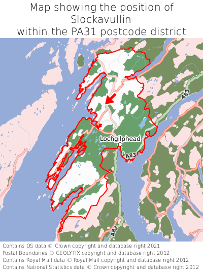
Where is Slockavullin in PA31?
Slockavullin is situated towards the northernmost extremity of the PA31 postcode district, and roughly centrally between the easternmost and westernmost extremities of the PA31 postcode district.

What is the post town for Slockavullin?
The post town for Slockavullin is Lochgilphead. Slockavullin is in the PA31 postcode district, which corresponds to the post town of Lochgilphead.
What is the latitude and longitude of Slockavullin?
The centre of Slockavullin is located at position 56.12136° latitude and -5.50248° longitude.
| Latitude | 56.12136° |
|---|---|
| Longitude | -5.50248° |
What is the easting and northing of Slockavullin?
The centre of Slockavullin is located at the grid reference easting 182386 and northing 697597 within the British National Grid (OSGB36) system.
| Easting | 182386 |
|---|---|
| Northing | 697597 |
What are the nearest towns to Slockavullin?
Position of Slockavullin relative to nearby towns. Distance is measured from the centre of Slockavullin to the centre of the town.
What are the nearest cities to Slockavullin?
Position of Slockavullin relative to nearby cities. Distance is measured from the centre of Slockavullin to the centre of the city.