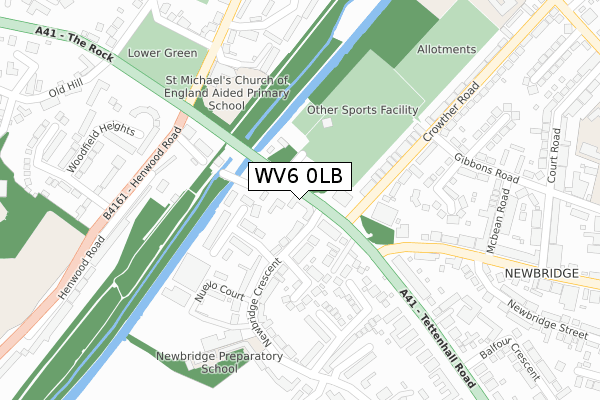
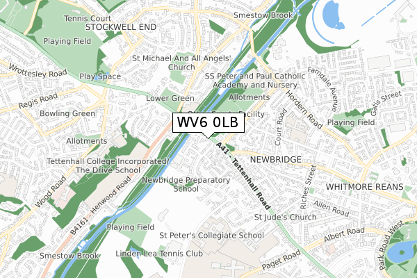
WV6 0LB is located in the Park electoral ward, within the metropolitan district of Wolverhampton and the English Parliamentary constituency of Wolverhampton South West. The Sub Integrated Care Board (ICB) Location is NHS Black Country ICB - D2P2L and the police force is West Midlands. This postcode has been in use since January 1980.


GetTheData
Source: OS Open Zoomstack (Ordnance Survey)
Licence: Open Government Licence (requires attribution)
Attribution: Contains OS data © Crown copyright and database right 2025
Source: Open Postcode Geo
Licence: Open Government Licence (requires attribution)
Attribution: Contains OS data © Crown copyright and database right 2025; Contains Royal Mail data © Royal Mail copyright and database right 2025; Source: Office for National Statistics licensed under the Open Government Licence v.3.0
| Easting | 389327 |
| Northing | 299858 |
| Latitude | 52.596409 |
| Longitude | -2.159000 |
GetTheData
Source: Open Postcode Geo
Licence: Open Government Licence
| Country | England |
| Postcode District | WV6 |
➜ See where WV6 is on a map ➜ Where is Wolverhampton? | |
GetTheData
Source: Land Registry Price Paid Data
Licence: Open Government Licence
Elevation or altitude of WV6 0LB as distance above sea level:
| Metres | Feet | |
|---|---|---|
| Elevation | 110m | 361ft |
Elevation is measured from the approximate centre of the postcode, to the nearest point on an OS contour line from OS Terrain 50, which has contour spacing of ten vertical metres.
➜ How high above sea level am I? Find the elevation of your current position using your device's GPS.
GetTheData
Source: Open Postcode Elevation
Licence: Open Government Licence
| Ward | Park |
| Constituency | Wolverhampton South West |
GetTheData
Source: ONS Postcode Database
Licence: Open Government Licence
| New Rd (Tettenhall Rd) | Newbridge | 121m |
| New Hampton Rd West (Tettenhall Rd) | Newbridge | 122m |
| New Rd (Tettenhall Rd) | Newbridge | 179m |
| New Hampton Rd West (Tettenhall Rd) | Newbridge | 236m |
| Old Hill (The Rock) | Tettenhall | 317m |
| Wolverhampton Station | 2.8km |
| Bilbrook Station | 3.5km |
| Codsall Station | 4.5km |
GetTheData
Source: NaPTAN
Licence: Open Government Licence
GetTheData
Source: ONS Postcode Database
Licence: Open Government Licence


➜ Get more ratings from the Food Standards Agency
GetTheData
Source: Food Standards Agency
Licence: FSA terms & conditions
| Last Collection | |||
|---|---|---|---|
| Location | Mon-Fri | Sat | Distance |
| Pendeford Post Office | 18:15 | 12:00 | 119m |
| Newhampton Road West Post Office | 17:15 | 12:45 | 324m |
| Henwood Road | 17:45 | 11:30 | 693m |
GetTheData
Source: Dracos
Licence: Creative Commons Attribution-ShareAlike
The below table lists the International Territorial Level (ITL) codes (formerly Nomenclature of Territorial Units for Statistics (NUTS) codes) and Local Administrative Units (LAU) codes for WV6 0LB:
| ITL 1 Code | Name |
|---|---|
| TLG | West Midlands (England) |
| ITL 2 Code | Name |
| TLG3 | West Midlands |
| ITL 3 Code | Name |
| TLG39 | Wolverhampton |
| LAU 1 Code | Name |
| E08000031 | Wolverhampton |
GetTheData
Source: ONS Postcode Directory
Licence: Open Government Licence
The below table lists the Census Output Area (OA), Lower Layer Super Output Area (LSOA), and Middle Layer Super Output Area (MSOA) for WV6 0LB:
| Code | Name | |
|---|---|---|
| OA | E00053051 | |
| LSOA | E01010510 | Wolverhampton 017C |
| MSOA | E02002165 | Wolverhampton 017 |
GetTheData
Source: ONS Postcode Directory
Licence: Open Government Licence
| WV6 0JX | New Road | 53m |
| WV6 0JZ | Tettenhall Road | 54m |
| WV6 0LF | Newbridge Crescent | 58m |
| WV6 0LQ | Chelston Drive | 100m |
| WV6 0DF | Newbridge Drive | 116m |
| WV6 0LG | Newbridge Gardens | 141m |
| WV6 0JY | Tettenhall Road | 151m |
| WV6 0HZ | Crowther Road | 169m |
| WV6 8NX | Meadow View Terrace | 177m |
| WV6 0JA | Crowther Road | 184m |
GetTheData
Source: Open Postcode Geo; Land Registry Price Paid Data
Licence: Open Government Licence