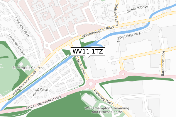
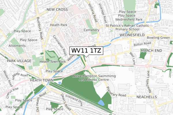
WV11 1TZ is located in the Wednesfield South electoral ward, within the metropolitan district of Wolverhampton and the English Parliamentary constituency of Wolverhampton North East. The Sub Integrated Care Board (ICB) Location is NHS Black Country ICB - D2P2L and the police force is West Midlands. This postcode has been in use since December 1996.


GetTheData
Source: OS Open Zoomstack (Ordnance Survey)
Licence: Open Government Licence (requires attribution)
Attribution: Contains OS data © Crown copyright and database right 2025
Source: Open Postcode Geo
Licence: Open Government Licence (requires attribution)
Attribution: Contains OS data © Crown copyright and database right 2025; Contains Royal Mail data © Royal Mail copyright and database right 2025; Source: Office for National Statistics licensed under the Open Government Licence v.3.0
| Easting | 393787 |
| Northing | 299834 |
| Latitude | 52.596263 |
| Longitude | -2.093156 |
GetTheData
Source: Open Postcode Geo
Licence: Open Government Licence
| Country | England |
| Postcode District | WV11 |
➜ See where WV11 is on a map ➜ Where is Wolverhampton? | |
GetTheData
Source: Land Registry Price Paid Data
Licence: Open Government Licence
Elevation or altitude of WV11 1TZ as distance above sea level:
| Metres | Feet | |
|---|---|---|
| Elevation | 140m | 459ft |
Elevation is measured from the approximate centre of the postcode, to the nearest point on an OS contour line from OS Terrain 50, which has contour spacing of ten vertical metres.
➜ How high above sea level am I? Find the elevation of your current position using your device's GPS.
GetTheData
Source: Open Postcode Elevation
Licence: Open Government Licence
| Ward | Wednesfield South |
| Constituency | Wolverhampton North East |
GetTheData
Source: ONS Postcode Database
Licence: Open Government Licence
| New Cross Hospital (Wolverhampton Road) | Heath Town | 151m |
| New Cross Hospital (Wolverhampton Road) | Heath Town | 158m |
| Coronation Rd (Wolverhampton Road) | Heath Town | 259m |
| Beynon Centre (New Cross Hospital) | New Cross | 275m |
| Bentley Bridge Retail Park (Bentley Bridge Way) | Wednesfield | 294m |
| Wolverhampton Station | 2km |
GetTheData
Source: NaPTAN
Licence: Open Government Licence
GetTheData
Source: ONS Postcode Database
Licence: Open Government Licence


➜ Get more ratings from the Food Standards Agency
GetTheData
Source: Food Standards Agency
Licence: FSA terms & conditions
| Last Collection | |||
|---|---|---|---|
| Location | Mon-Fri | Sat | Distance |
| New Cross Hospital | 17:15 | 13:00 | 652m |
| Hurstbourne Crescent | 17:30 | 12:30 | 745m |
| Wednesfield Post Office | 17:00 | 12:15 | 866m |
GetTheData
Source: Dracos
Licence: Creative Commons Attribution-ShareAlike
The below table lists the International Territorial Level (ITL) codes (formerly Nomenclature of Territorial Units for Statistics (NUTS) codes) and Local Administrative Units (LAU) codes for WV11 1TZ:
| ITL 1 Code | Name |
|---|---|
| TLG | West Midlands (England) |
| ITL 2 Code | Name |
| TLG3 | West Midlands |
| ITL 3 Code | Name |
| TLG39 | Wolverhampton |
| LAU 1 Code | Name |
| E08000031 | Wolverhampton |
GetTheData
Source: ONS Postcode Directory
Licence: Open Government Licence
The below table lists the Census Output Area (OA), Lower Layer Super Output Area (LSOA), and Middle Layer Super Output Area (MSOA) for WV11 1TZ:
| Code | Name | |
|---|---|---|
| OA | E00167331 | |
| LSOA | E01010564 | Wolverhampton 012C |
| MSOA | E02002160 | Wolverhampton 012 |
GetTheData
Source: ONS Postcode Directory
Licence: Open Government Licence
| WV10 0TW | Grayling Walk | 108m |
| WV10 0TN | Perch Close | 178m |
| WV10 0QF | Wolverhampton Road | 203m |
| WV11 1BP | Bentley Bridge Park | 206m |
| WV10 0TL | Rudd Gardens | 211m |
| WV10 0TQ | Barbel Drive | 217m |
| WV10 0TJ | Bream Close | 247m |
| WV11 1UJ | Wolverhampton Road | 265m |
| WV11 1XX | Newheath Close | 277m |
| WV10 0TH | Dace Road | 281m |
GetTheData
Source: Open Postcode Geo; Land Registry Price Paid Data
Licence: Open Government Licence