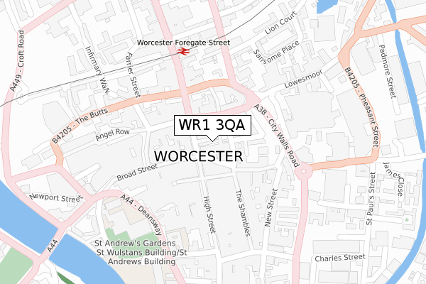
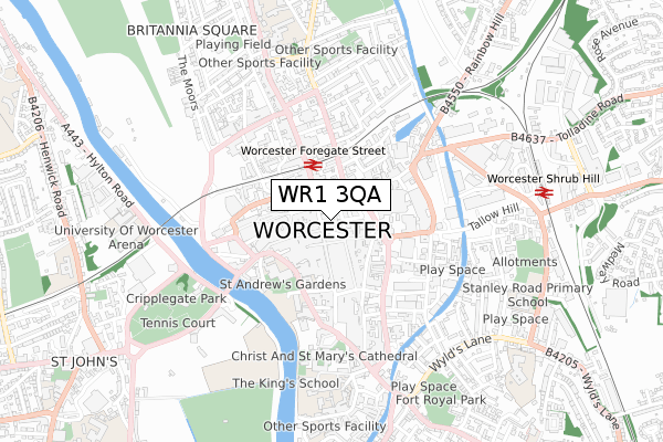
WR1 3QA is located in the Cathedral electoral ward, within the local authority district of Worcester and the English Parliamentary constituency of Worcester. The Sub Integrated Care Board (ICB) Location is NHS Herefordshire and Worcestershire ICB - 18C and the police force is West Mercia. This postcode has been in use since January 1980.


GetTheData
Source: OS Open Zoomstack (Ordnance Survey)
Licence: Open Government Licence (requires attribution)
Attribution: Contains OS data © Crown copyright and database right 2025
Source: Open Postcode Geo
Licence: Open Government Licence (requires attribution)
Attribution: Contains OS data © Crown copyright and database right 2025; Contains Royal Mail data © Royal Mail copyright and database right 2025; Source: Office for National Statistics licensed under the Open Government Licence v.3.0
| Easting | 385018 |
| Northing | 255022 |
| Latitude | 52.193242 |
| Longitude | -2.220588 |
GetTheData
Source: Open Postcode Geo
Licence: Open Government Licence
| Country | England |
| Postcode District | WR1 |
➜ See where WR1 is on a map ➜ Where is Worcester? | |
GetTheData
Source: Land Registry Price Paid Data
Licence: Open Government Licence
Elevation or altitude of WR1 3QA as distance above sea level:
| Metres | Feet | |
|---|---|---|
| Elevation | 30m | 98ft |
Elevation is measured from the approximate centre of the postcode, to the nearest point on an OS contour line from OS Terrain 50, which has contour spacing of ten vertical metres.
➜ How high above sea level am I? Find the elevation of your current position using your device's GPS.
GetTheData
Source: Open Postcode Elevation
Licence: Open Government Licence
| Ward | Cathedral |
| Constituency | Worcester |
GetTheData
Source: ONS Postcode Database
Licence: Open Government Licence
1, THE AVENUE, WORCESTER, WR1 3QA 2013 8 NOV £265,000 |
1, THE AVENUE, WORCESTER, WR1 3QA 2000 31 JAN £130,000 |
GetTheData
Source: HM Land Registry Price Paid Data
Licence: Contains HM Land Registry data © Crown copyright and database right 2025. This data is licensed under the Open Government Licence v3.0.
| Mcdonalds (St. Nicholas Street) | Worcester | 55m |
| Sansome Street (Sansome Street (B4205)) | Worcester | 142m |
| Angel Place | Worcester | 155m |
| Foregate Street Station (Foregate Street) | Worcester | 221m |
| Foregate Street Station (A38) | Worcester | 225m |
| Worcester Foregate Street Station | 0.2km |
| Worcester Shrub Hill Station | 0.8km |
GetTheData
Source: NaPTAN
Licence: Open Government Licence
GetTheData
Source: ONS Postcode Database
Licence: Open Government Licence


➜ Get more ratings from the Food Standards Agency
GetTheData
Source: Food Standards Agency
Licence: FSA terms & conditions
| Last Collection | |||
|---|---|---|---|
| Location | Mon-Fri | Sat | Distance |
| The Cross | 18:15 | 11:30 | 38m |
| Whsmith | 17:00 | 11:30 | 91m |
| Angel Street | 18:30 | 11:30 | 150m |
GetTheData
Source: Dracos
Licence: Creative Commons Attribution-ShareAlike
The below table lists the International Territorial Level (ITL) codes (formerly Nomenclature of Territorial Units for Statistics (NUTS) codes) and Local Administrative Units (LAU) codes for WR1 3QA:
| ITL 1 Code | Name |
|---|---|
| TLG | West Midlands (England) |
| ITL 2 Code | Name |
| TLG1 | Herefordshire, Worcestershire and Warwickshire |
| ITL 3 Code | Name |
| TLG12 | Worcestershire CC |
| LAU 1 Code | Name |
| E07000237 | Worcester |
GetTheData
Source: ONS Postcode Directory
Licence: Open Government Licence
The below table lists the Census Output Area (OA), Lower Layer Super Output Area (LSOA), and Middle Layer Super Output Area (MSOA) for WR1 3QA:
| Code | Name | |
|---|---|---|
| OA | E00172263 | |
| LSOA | E01033248 | Worcester 011E |
| MSOA | E02006744 | Worcester 011 |
GetTheData
Source: ONS Postcode Directory
Licence: Open Government Licence
| WR1 2PQ | Trinity Passage | 18m |
| WR1 3PY | The Cross | 37m |
| WR1 2PW | Trinity Street | 57m |
| WR1 3PZ | The Cross | 62m |
| WR1 2EH | High Street | 78m |
| WR1 1UW | St Nicholas Street | 86m |
| WR1 3LY | Broad Street | 103m |
| WR1 2DQ | Mealcheapen Street | 106m |
| WR1 3LH | Broad Street | 107m |
| WR1 3QT | Angel Street | 107m |
GetTheData
Source: Open Postcode Geo; Land Registry Price Paid Data
Licence: Open Government Licence