UB1 3HW maps, stats, and open data
- Home
- Postcode
- UB
- UB1
- UB1 3
UB1 3HW is located in the Norwood Green electoral ward, within the London borough of Ealing and the English Parliamentary constituency of Ealing, Southall. The Sub Integrated Care Board (ICB) Location is NHS North West London ICB - W2U3Z and the police force is Metropolitan Police. This postcode has been in use since January 1980.
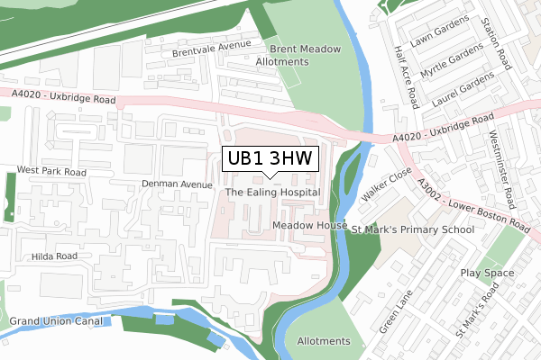
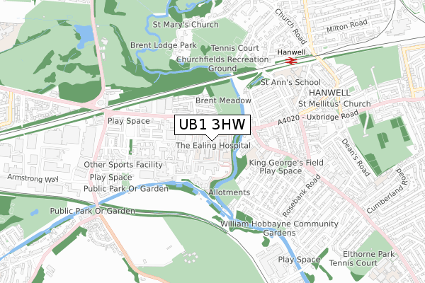
UB1 3HW maps


Source: OS Open Zoomstack (Ordnance Survey)
Licence: Open Government Licence (requires attribution)
Attribution: Contains OS data © Crown copyright and database right 2025
Source: Open Postcode GeoLicence: Open Government Licence (requires attribution)
Attribution: Contains OS data © Crown copyright and database right 2025; Contains Royal Mail data © Royal Mail copyright and database right 2025; Source: Office for National Statistics licensed under the Open Government Licence v.3.0
UB1 3HW geodata
| Easting | 514921 |
| Northing | 180039 |
| Latitude | 51.507606 |
| Longitude | -0.345495 |
Where is UB1 3HW?
| Country | England |
| Postcode District | UB1 |
UB1 3HW Elevation
Elevation or altitude of UB1 3HW as distance above sea level:
| Metres | Feet |
|---|
| Elevation | 20m | 66ft |
|---|
Elevation is measured from the approximate centre of the postcode, to the nearest point on an OS contour line from OS Terrain 50, which has contour spacing of ten vertical metres.
➜ How high above sea level am I? Find the elevation of your current position using your device's GPS.
Politics
| Ward | Norwood Green |
|---|
| Constituency | Ealing, Southall |
|---|
Transport
Nearest bus stops to UB1 3HW
| Ealing Hospital | Hanwell | 97m |
| Ealing Hospital | Hanwell | 104m |
| Ealing Hospital | Hanwell | 110m |
| Ealing Hospital | Hanwell | 114m |
| Ealing Hospital | Hanwell | 122m |
Nearest underground/metro/tram to UB1 3HW
| Boston Manor Underground Station | Boston Manor | 1,952m |
Nearest railway stations to UB1 3HW
| Hanwell Station | 0.7km |
| Drayton Green Station | 1.5km |
| West Ealing Station | 1.9km |
Broadband
Broadband speed in UB1 3HW (2019 data)
Download
| Median download speed | 6.7Mbps |
| Average download speed | 6.1Mbps |
| Maximum download speed | 8.99Mbps |
Upload
| Median upload speed | 0.8Mbps |
| Average upload speed | 0.7Mbps |
| Maximum upload speed | 1.10Mbps |
Deprivation
83.3% of English postcodes are less deprived than
UB1 3HW:
Food Standards Agency
Three nearest food hygiene ratings to UB1 3HW (metres)
Costa Coffee
W H Smith (Main Entrance)
Medirest @ Ealing Hospital Main & Ward Kitchens & Restaurant
➜ Get more ratings from the Food Standards Agency
Nearest post box to UB1 3HW
| | Last Collection | |
|---|
| Location | Mon-Fri | Sat | Distance |
|---|
| Wharncliffe Drive | 17:30 | 11:45 | 174m |
| St Bernards Hospital | 17:45 | 11:45 | 300m |
| Saint Mark's Road | 17:30 | 12:00 | 446m |
UB1 3HW ITL and UB1 3HW LAU
The below table lists the International Territorial Level (ITL) codes (formerly Nomenclature of Territorial Units for Statistics (NUTS) codes) and Local Administrative Units (LAU) codes for UB1 3HW:
| ITL 1 Code | Name |
|---|
| TLI | London |
| ITL 2 Code | Name |
|---|
| TLI7 | Outer London - West and North West |
| ITL 3 Code | Name |
|---|
| TLI73 | Ealing |
| LAU 1 Code | Name |
|---|
| E09000009 | Ealing |
UB1 3HW census areas
The below table lists the Census Output Area (OA), Lower Layer Super Output Area (LSOA), and Middle Layer Super Output Area (MSOA) for UB1 3HW:
| Code | Name |
|---|
| OA | E00006666 | |
|---|
| LSOA | E01001337 | Ealing 029D |
|---|
| MSOA | E02000266 | Ealing 029 |
|---|
Nearest postcodes to UB1 3HW


