TW20 0EY maps, stats, and open data
TW20 0EY is located in the Englefield Green East electoral ward, within the local authority district of Runnymede and the English Parliamentary constituency of Runnymede and Weybridge. The Sub Integrated Care Board (ICB) Location is NHS Frimley ICB - D4U1Y and the police force is Surrey. This postcode has been in use since December 1996.
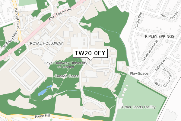
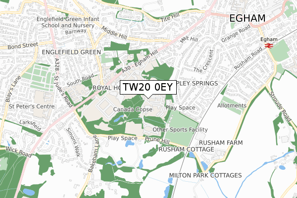
TW20 0EY maps


Licence: Open Government Licence (requires attribution)
Attribution: Contains OS data © Crown copyright and database right 2025
Source: Open Postcode Geo
Licence: Open Government Licence (requires attribution)
Attribution: Contains OS data © Crown copyright and database right 2025; Contains Royal Mail data © Royal Mail copyright and database right 2025; Source: Office for National Statistics licensed under the Open Government Licence v.3.0
TW20 0EY geodata
| Easting | 500098 |
| Northing | 170578 |
| Latitude | 51.425381 |
| Longitude | -0.561678 |
Where is TW20 0EY?
| Country | England |
| Postcode District | TW20 |
TW20 0EY Elevation
Elevation or altitude of TW20 0EY as distance above sea level:
| Metres | Feet | |
|---|---|---|
| Elevation | 40m | 131ft |
Elevation is measured from the approximate centre of the postcode, to the nearest point on an OS contour line from OS Terrain 50, which has contour spacing of ten vertical metres.
➜ How high above sea level am I? Find the elevation of your current position using your device's GPS.
Politics
| Ward | Englefield Green East |
|---|---|
| Constituency | Runnymede And Weybridge |
Transport
Nearest bus stops to TW20 0EY
| Chestnut Drive (Egham Hill) | Englefield Green | 314m |
| Chestnut Drive (Egham Hill) | Englefield Green | 317m |
| Royal Holloway College (Egham Hill) | Englefield Green | 419m |
| Founders Building (Royal Holloway College) | Englefield Green | 494m |
| Royal Holloway College (Egham Hill) | Englefield Green | 499m |
Nearest railway stations to TW20 0EY
| Egham Station | 1.2km |
| Virginia Water Station | 2.6km |
| Wraysbury Station | 3.8km |
Deprivation
9% of English postcodes are less deprived than TW20 0EY:Food Standards Agency
Three nearest food hygiene ratings to TW20 0EY (metres)


➜ Get more ratings from the Food Standards Agency
Nearest post box to TW20 0EY
| Last Collection | |||
|---|---|---|---|
| Location | Mon-Fri | Sat | Distance |
| P.o. 225 Pooley Green Road | 18:30 | 11:30 | 103m |
| Royal Holloway College | 16:00 | 11:15 | 285m |
| Spring Rise | 17:15 | 11:00 | 440m |
TW20 0EY ITL and TW20 0EY LAU
The below table lists the International Territorial Level (ITL) codes (formerly Nomenclature of Territorial Units for Statistics (NUTS) codes) and Local Administrative Units (LAU) codes for TW20 0EY:
| ITL 1 Code | Name |
|---|---|
| TLJ | South East (England) |
| ITL 2 Code | Name |
| TLJ2 | Surrey, East and West Sussex |
| ITL 3 Code | Name |
| TLJ25 | West Surrey |
| LAU 1 Code | Name |
| E07000212 | Runnymede |
TW20 0EY census areas
The below table lists the Census Output Area (OA), Lower Layer Super Output Area (LSOA), and Middle Layer Super Output Area (MSOA) for TW20 0EY:
| Code | Name | |
|---|---|---|
| OA | E00156425 | |
| LSOA | E01030672 | Runnymede 002B |
| MSOA | E02006394 | Runnymede 002 |
Nearest postcodes to TW20 0EY
| TW20 9PP | Spring Rise | 239m |
| TW20 9PW | Spring Rise | 274m |
| TW20 0BH | Mount Pleasant Cottages | 322m |
| TW20 9RD | Lynwood Avenue | 328m |
| TW20 9RE | Lynwood Avenue | 334m |
| TW20 9RB | Ripley Avenue | 336m |
| TW20 9TR | Prune Hill | 361m |
| TW20 9RJ | Nobles Way | 361m |
| TW20 9PX | Danehurst Close | 374m |
| TW20 9QZ | Ripley Avenue | 376m |