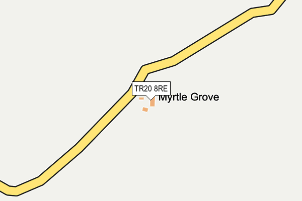
TR20 8RE is in Sancreed, Penzance. TR20 8RE is located in the Land's End electoral ward, within the unitary authority of Cornwall and the English Parliamentary constituency of St Ives. The Sub Integrated Care Board (ICB) Location is NHS Cornwall and the Isles of Scilly ICB - 11N and the police force is Devon & Cornwall. This postcode has been in use since January 1980.


GetTheData
Source: OS OpenMap – Local (Ordnance Survey)
Source: OS VectorMap District (Ordnance Survey)
Licence: Open Government Licence (requires attribution)
| Easting | 140898 |
| Northing | 28423 |
| Latitude | 50.099259 |
| Longitude | -5.624485 |
GetTheData
Source: Open Postcode Geo
Licence: Open Government Licence
| Locality | Sancreed |
| Town/City | Penzance |
| Country | England |
| Postcode District | TR20 |
➜ See where TR20 is on a map | |
GetTheData
Source: Land Registry Price Paid Data
Licence: Open Government Licence
Elevation or altitude of TR20 8RE as distance above sea level:
| Metres | Feet | |
|---|---|---|
| Elevation | 160m | 525ft |
Elevation is measured from the approximate centre of the postcode, to the nearest point on an OS contour line from OS Terrain 50, which has contour spacing of ten vertical metres.
➜ How high above sea level am I? Find the elevation of your current position using your device's GPS.
GetTheData
Source: Open Postcode Elevation
Licence: Open Government Licence
| Ward | Land's End |
| Constituency | St Ives |
GetTheData
Source: ONS Postcode Database
Licence: Open Government Licence
| Lower Leha | Crows-an-wra | 918m |
| Lower Leha (A30) | Crows-an-wra | 944m |
| Trevorgans Cross | Crows-an-wra | 1,272m |
| Trevorgans Cross | Crows-an-wra | 1,286m |
| Lower Botrea | Grumbla | 1,336m |
GetTheData
Source: NaPTAN
Licence: Open Government Licence
| Percentage of properties with Next Generation Access | 100.0% |
| Percentage of properties with Superfast Broadband | 100.0% |
| Percentage of properties with Ultrafast Broadband | 100.0% |
| Percentage of properties with Full Fibre Broadband | 100.0% |
Superfast Broadband is between 30Mbps and 300Mbps
Ultrafast Broadband is > 300Mbps
| Percentage of properties unable to receive 2Mbps | 0.0% |
| Percentage of properties unable to receive 5Mbps | 0.0% |
| Percentage of properties unable to receive 10Mbps | 0.0% |
| Percentage of properties unable to receive 30Mbps | 0.0% |
GetTheData
Source: Ofcom
Licence: Ofcom Terms of Use (requires attribution)
GetTheData
Source: ONS Postcode Database
Licence: Open Government Licence


➜ Get more ratings from the Food Standards Agency
GetTheData
Source: Food Standards Agency
Licence: FSA terms & conditions
| Last Collection | |||
|---|---|---|---|
| Location | Mon-Fri | Sat | Distance |
| Catchall | 09:45 | 09:45 | 2,181m |
| St Buryan Post Office | 16:10 | 09:40 | 2,760m |
| Labour In Vain | 11:45 | 11:45 | 3,806m |
GetTheData
Source: Dracos
Licence: Creative Commons Attribution-ShareAlike
The below table lists the International Territorial Level (ITL) codes (formerly Nomenclature of Territorial Units for Statistics (NUTS) codes) and Local Administrative Units (LAU) codes for TR20 8RE:
| ITL 1 Code | Name |
|---|---|
| TLK | South West (England) |
| ITL 2 Code | Name |
| TLK3 | Cornwall and Isles of Scilly |
| ITL 3 Code | Name |
| TLK30 | Cornwall and Isles of Scilly |
| LAU 1 Code | Name |
| E06000052 | Cornwall |
GetTheData
Source: ONS Postcode Directory
Licence: Open Government Licence
The below table lists the Census Output Area (OA), Lower Layer Super Output Area (LSOA), and Middle Layer Super Output Area (MSOA) for TR20 8RE:
| Code | Name | |
|---|---|---|
| OA | E00096031 | |
| LSOA | E01019006 | Cornwall 065D |
| MSOA | E02003947 | Cornwall 065 |
GetTheData
Source: ONS Postcode Directory
Licence: Open Government Licence
| TR20 8RD | 529m | |
| TR20 8RQ | 768m | |
| TR20 8RF | 789m | |
| TR20 8RB | 840m | |
| TR19 6EJ | 902m | |
| TR20 8RG | 991m | |
| TR20 8QT | 1133m | |
| TR19 6EQ | 1151m | |
| TR19 6HX | 1158m | |
| TR20 8QZ | 1186m |
GetTheData
Source: Open Postcode Geo; Land Registry Price Paid Data
Licence: Open Government Licence