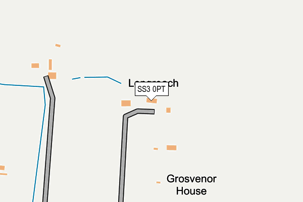
SS3 0PT is located in the Foulness and The Wakerings electoral ward, within the local authority district of Rochford and the English Parliamentary constituency of Rochford and Southend East. The Sub Integrated Care Board (ICB) Location is NHS Mid and South Essex ICB - 99F and the police force is Essex. This postcode has been in use since January 1980.


GetTheData
Source: OS OpenMap – Local (Ordnance Survey)
Source: OS VectorMap District (Ordnance Survey)
Licence: Open Government Licence (requires attribution)
| Easting | 592015 |
| Northing | 187628 |
| Latitude | 51.554851 |
| Longitude | 0.768373 |
GetTheData
Source: Open Postcode Geo
Licence: Open Government Licence
| Country | England |
| Postcode District | SS3 |
➜ See where SS3 is on a map | |
GetTheData
Source: Land Registry Price Paid Data
Licence: Open Government Licence
Elevation or altitude of SS3 0PT as distance above sea level:
| Metres | Feet | |
|---|---|---|
| Elevation | 10m | 33ft |
Elevation is measured from the approximate centre of the postcode, to the nearest point on an OS contour line from OS Terrain 50, which has contour spacing of ten vertical metres.
➜ How high above sea level am I? Find the elevation of your current position using your device's GPS.
GetTheData
Source: Open Postcode Elevation
Licence: Open Government Licence
| Ward | Foulness And The Wakerings |
| Constituency | Rochford And Southend East |
GetTheData
Source: ONS Postcode Database
Licence: Open Government Licence
| Rose Inn (Wakering Road) | Bournes Green | 570m |
| Rose Inn (Wakering Road) | Bournes Green | 612m |
| Alleyn Court School (Wakering Road) | Bournes Green | 854m |
| Alleyn Court School (Wakering Road) | Bournes Green | 867m |
| Rebels Lane (Barling Road) | Stonebridge | 939m |
| Thorpe Bay Station | 2km |
| Southend East Station | 3.1km |
| Shoeburyness Station | 3.2km |
GetTheData
Source: NaPTAN
Licence: Open Government Licence
| Percentage of properties with Next Generation Access | 100.0% |
| Percentage of properties with Superfast Broadband | 100.0% |
| Percentage of properties with Ultrafast Broadband | 100.0% |
| Percentage of properties with Full Fibre Broadband | 100.0% |
Superfast Broadband is between 30Mbps and 300Mbps
Ultrafast Broadband is > 300Mbps
| Percentage of properties unable to receive 2Mbps | 0.0% |
| Percentage of properties unable to receive 5Mbps | 0.0% |
| Percentage of properties unable to receive 10Mbps | 0.0% |
| Percentage of properties unable to receive 30Mbps | 0.0% |
GetTheData
Source: Ofcom
Licence: Ofcom Terms of Use (requires attribution)
GetTheData
Source: ONS Postcode Database
Licence: Open Government Licence


➜ Get more ratings from the Food Standards Agency
GetTheData
Source: Food Standards Agency
Licence: FSA terms & conditions
| Last Collection | |||
|---|---|---|---|
| Location | Mon-Fri | Sat | Distance |
| Southend Sorting Office | 19:00 | 13:00 | 545m |
| Barling Road | 16:30 | 10:30 | 959m |
| Stone Bridge | 16:30 | 10:30 | 1,018m |
GetTheData
Source: Dracos
Licence: Creative Commons Attribution-ShareAlike
The below table lists the International Territorial Level (ITL) codes (formerly Nomenclature of Territorial Units for Statistics (NUTS) codes) and Local Administrative Units (LAU) codes for SS3 0PT:
| ITL 1 Code | Name |
|---|---|
| TLH | East |
| ITL 2 Code | Name |
| TLH3 | Essex |
| ITL 3 Code | Name |
| TLH37 | Essex Thames Gateway |
| LAU 1 Code | Name |
| E07000075 | Rochford |
GetTheData
Source: ONS Postcode Directory
Licence: Open Government Licence
The below table lists the Census Output Area (OA), Lower Layer Super Output Area (LSOA), and Middle Layer Super Output Area (MSOA) for SS3 0PT:
| Code | Name | |
|---|---|---|
| OA | E00111351 | |
| LSOA | E01021924 | Rochford 010E |
| MSOA | E02004572 | Rochford 010 |
GetTheData
Source: ONS Postcode Directory
Licence: Open Government Licence
| SS3 0PU | Southend Road | 234m |
| SS3 0QR | Barrow Hall Road | 490m |
| SS3 0PX | Silchester Corner | 504m |
| SS3 0QP | Barrow Hall Road | 522m |
| SS3 0PZ | Wakering Road | 621m |
| SS3 0PY | Wakering Road | 673m |
| SS3 0QD | Barling Road | 693m |
| SS3 0QB | Barling Road | 738m |
| SS3 0QA | Wakering Road | 863m |
| SS3 0PR | Southend Road | 878m |
GetTheData
Source: Open Postcode Geo; Land Registry Price Paid Data
Licence: Open Government Licence