SA31 3HY maps, stats, and open data
SA31 3HY is located in the Carmarthen Town West electoral ward, within the unitary authority of Carmarthenshire and the Welsh Parliamentary constituency of Carmarthen West and South Pembrokeshire. The Local Health Board is Hywel Dda University and the police force is Dyfed-Powys. This postcode has been in use since June 1981.
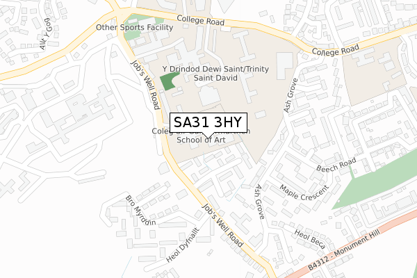
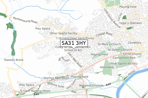
SA31 3HY maps


Licence: Open Government Licence (requires attribution)
Attribution: Contains OS data © Crown copyright and database right 2025
Source: Open Postcode Geo
Licence: Open Government Licence (requires attribution)
Attribution: Contains OS data © Crown copyright and database right 2025; Contains Royal Mail data © Royal Mail copyright and database right 2025; Source: Office for National Statistics licensed under the Open Government Licence v.3.0
SA31 3HY geodata
| Easting | 239774 |
| Northing | 220128 |
| Latitude | 51.856675 |
| Longitude | -4.328002 |
Where is SA31 3HY?
| Country | Wales |
| Postcode District | SA31 |
SA31 3HY Elevation
Elevation or altitude of SA31 3HY as distance above sea level:
| Metres | Feet | |
|---|---|---|
| Elevation | 30m | 98ft |
Elevation is measured from the approximate centre of the postcode, to the nearest point on an OS contour line from OS Terrain 50, which has contour spacing of ten vertical metres.
➜ How high above sea level am I? Find the elevation of your current position using your device's GPS.
Politics
| Ward | Carmarthen Town West |
|---|---|
| Constituency | Carmarthen West And South Pembrokeshire |
Transport
Nearest bus stops to SA31 3HY
| Dyfed College Of Art (Job`s Well Road) | Carmarthen | 121m |
| Jobs Well Road (Job`s Well Road) | Johnstown | 159m |
| Jobs Well Road (Job`s Well Road) | Johnstown | 163m |
| Beech Road (Ash Grove) | Carmarthen | 182m |
| Cartref Tawelan (Ash Grove) | Johnstown | 239m |
Nearest railway stations to SA31 3HY
| Carmarthen Station | 1.6km |
Deprivation
19.9% of Welsh postcodes are less deprived than SA31 3HY:Food Standards Agency
Three nearest food hygiene ratings to SA31 3HY (metres)


➜ Get more ratings from the Food Standards Agency
Nearest post box to SA31 3HY
| Last Collection | |||
|---|---|---|---|
| Location | Mon-Fri | Sat | Distance |
| Johnstown Post Office | 17:15 | 11:30 | 427m |
| Maes Y Wenol | 17:00 | 11:15 | 563m |
| Tesco | 17:45 | 11:45 | 802m |
SA31 3HY ITL and SA31 3HY LAU
The below table lists the International Territorial Level (ITL) codes (formerly Nomenclature of Territorial Units for Statistics (NUTS) codes) and Local Administrative Units (LAU) codes for SA31 3HY:
| ITL 1 Code | Name |
|---|---|
| TLL | Wales |
| ITL 2 Code | Name |
| TLL1 | West Wales and The Valleys |
| ITL 3 Code | Name |
| TLL14 | South West Wales |
| LAU 1 Code | Name |
| W06000010 | Carmarthenshire |
SA31 3HY census areas
The below table lists the Census Output Area (OA), Lower Layer Super Output Area (LSOA), and Middle Layer Super Output Area (MSOA) for SA31 3HY:
| Code | Name | |
|---|---|---|
| OA | W00009998 | |
| LSOA | W01000644 | Carmarthenshire 006B |
| MSOA | W02000147 | Carmarthenshire 006 |
Nearest postcodes to SA31 3HY
| SA31 3JL | Waun Burgess | 44m |
| SA31 3JN | Waun Burgess | 113m |
| SA31 3JW | Waun Burgess | 141m |
| SA31 3PZ | Ash Grove | 155m |
| SA31 3PY | Ash Grove | 197m |
| SA31 3HQ | Heol Dyfnallt | 211m |
| SA31 3PT | Maple Crescent | 226m |
| SA31 3PR | Beech Road | 226m |
| SA31 3QG | Sycamore Way | 254m |
| SA31 3HE | Bro Myrddin | 267m |