S64 9EA maps, stats, and open data
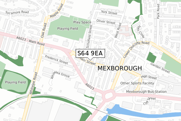
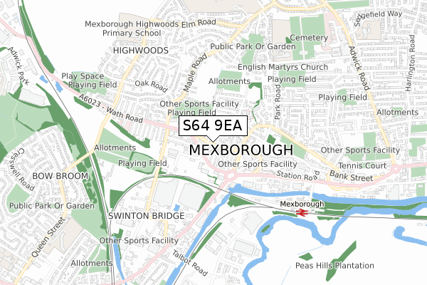
S64 9EA lies on Main Street in Mexborough. S64 9EA is located in the Mexborough electoral ward, within the metropolitan district of Doncaster and the English Parliamentary constituency of Doncaster North. The Sub Integrated Care Board (ICB) Location is NHS South Yorkshire ICB - 02X and the police force is South Yorkshire. This postcode has been in use since January 1980.
S64 9EA maps


Licence: Open Government Licence (requires attribution)
Attribution: Contains OS data © Crown copyright and database right 2025
Source: Open Postcode Geo
Licence: Open Government Licence (requires attribution)
Attribution: Contains OS data © Crown copyright and database right 2025; Contains Royal Mail data © Royal Mail copyright and database right 2025; Source: Office for National Statistics licensed under the Open Government Licence v.3.0
S64 9EA geodata
| Easting | 446763 |
| Northing | 399996 |
| Latitude | 53.494598 |
| Longitude | -1.296595 |
Where is S64 9EA?
| Street | Main Street |
| Town/City | Mexborough |
| Country | England |
| Postcode District | S64 |
S64 9EA Elevation
Elevation or altitude of S64 9EA as distance above sea level:
| Metres | Feet | |
|---|---|---|
| Elevation | 20m | 66ft |
Elevation is measured from the approximate centre of the postcode, to the nearest point on an OS contour line from OS Terrain 50, which has contour spacing of ten vertical metres.
➜ How high above sea level am I? Find the elevation of your current position using your device's GPS.
Politics
| Ward | Mexborough |
|---|---|
| Constituency | Doncaster North |
Transport
Nearest bus stops to S64 9EA
| Belmont Street (Wath Road) | Mexborough | 86m |
| Whitelea Grove (Wath Road) | Mexborough | 98m |
| Hartley Street | Mexborough | 184m |
| Hartley Street | Mexborough | 188m |
| Hartley Street | Mexborough | 193m |
Nearest railway stations to S64 9EA
| Mexborough Station | 0.7km |
| Swinton (South Yorks) Station | 1.1km |
| Bolton-Upon-Dearne Station | 2.9km |
Broadband
Broadband access in S64 9EA (2020 data)
| Percentage of properties with Next Generation Access | 100.0% |
| Percentage of properties with Superfast Broadband | 100.0% |
| Percentage of properties with Ultrafast Broadband | 100.0% |
| Percentage of properties with Full Fibre Broadband | 0.0% |
Superfast Broadband is between 30Mbps and 300Mbps
Ultrafast Broadband is > 300Mbps
Broadband limitations in S64 9EA (2020 data)
| Percentage of properties unable to receive 2Mbps | 0.0% |
| Percentage of properties unable to receive 5Mbps | 0.0% |
| Percentage of properties unable to receive 10Mbps | 0.0% |
| Percentage of properties unable to receive 30Mbps | 0.0% |
Deprivation
98.6% of English postcodes are less deprived than S64 9EA:Food Standards Agency
Three nearest food hygiene ratings to S64 9EA (metres)


➜ Get more ratings from the Food Standards Agency
Nearest post box to S64 9EA
| Last Collection | |||
|---|---|---|---|
| Location | Mon-Fri | Sat | Distance |
| Mexborough Post Office | 16:00 | 12:15 | 270m |
| Sycamore Road | 16:00 | 11:00 | 387m |
| 147 Wath Road | 16:15 | 11:00 | 585m |
S64 9EA ITL and S64 9EA LAU
The below table lists the International Territorial Level (ITL) codes (formerly Nomenclature of Territorial Units for Statistics (NUTS) codes) and Local Administrative Units (LAU) codes for S64 9EA:
| ITL 1 Code | Name |
|---|---|
| TLE | Yorkshire and The Humber |
| ITL 2 Code | Name |
| TLE3 | South Yorkshire |
| ITL 3 Code | Name |
| TLE31 | Barnsley, Doncaster and Rotherham |
| LAU 1 Code | Name |
| E08000017 | Doncaster |
S64 9EA census areas
The below table lists the Census Output Area (OA), Lower Layer Super Output Area (LSOA), and Middle Layer Super Output Area (MSOA) for S64 9EA:
| Code | Name | |
|---|---|---|
| OA | E00038364 | |
| LSOA | E01007577 | Doncaster 031F |
| MSOA | E02001569 | Doncaster 031 |
Nearest postcodes to S64 9EA
| S64 9NG | Main Street | 28m |
| S64 9DZ | Wood Street | 51m |
| S64 9NQ | Britain Street | 59m |
| S64 9ND | Main Street | 80m |
| S64 9DU | Main Street | 81m |
| S64 9NF | Belmont Street | 83m |
| S64 9DY | Highfield Cottages | 88m |
| S64 9NE | South View | 92m |
| S64 9DX | Beaconsfield Street | 111m |
| S64 9QU | Frederick Street | 118m |