PO22 7PP maps, stats, and open data
PO22 7PP is located in the Felpham West electoral ward, within the local authority district of Arun and the English Parliamentary constituency of Bognor Regis and Littlehampton. The Sub Integrated Care Board (ICB) Location is NHS Sussex ICB - 70F and the police force is Sussex. This postcode has been in use since January 1980.
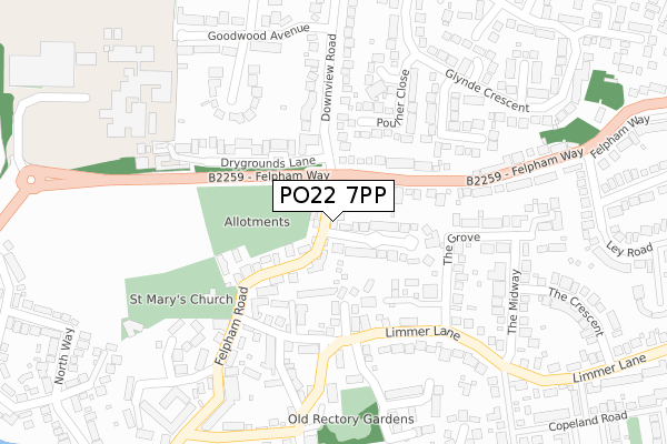
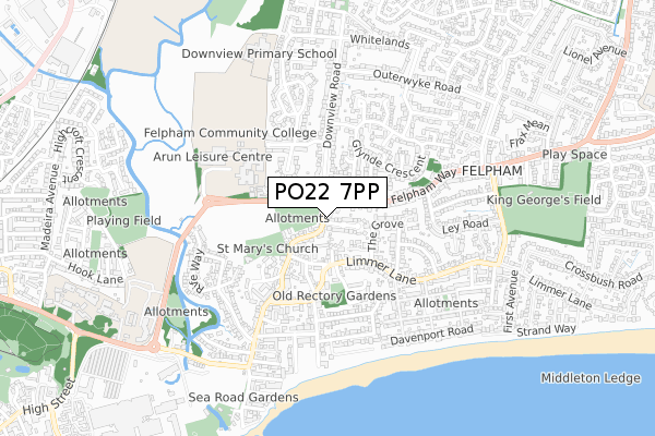
PO22 7PP maps


Licence: Open Government Licence (requires attribution)
Attribution: Contains OS data © Crown copyright and database right 2025
Source: Open Postcode Geo
Licence: Open Government Licence (requires attribution)
Attribution: Contains OS data © Crown copyright and database right 2025; Contains Royal Mail data © Royal Mail copyright and database right 2025; Source: Office for National Statistics licensed under the Open Government Licence v.3.0
PO22 7PP geodata
| Easting | 495115 |
| Northing | 99996 |
| Latitude | 50.791728 |
| Longitude | -0.651891 |
Where is PO22 7PP?
| Country | England |
| Postcode District | PO22 |
PO22 7PP Elevation
Elevation or altitude of PO22 7PP as distance above sea level:
| Metres | Feet | |
|---|---|---|
| Elevation | 0m | 0ft |
Elevation is measured from the approximate centre of the postcode, to the nearest point on an OS contour line from OS Terrain 50, which has contour spacing of ten vertical metres.
➜ How high above sea level am I? Find the elevation of your current position using your device's GPS.
Politics
| Ward | Felpham West |
|---|---|
| Constituency | Bognor Regis And Littlehampton |
Transport
Nearest bus stops to PO22 7PP
| Downview Road (Felpham Way) | Felpham | 96m |
| Downview Road (Felpham Way) | Felpham | 108m |
| Felpham Post Office (Felpham Road) | Felpham | 198m |
| Felpham Way (Downview Road) | Felpham | 204m |
| Felpham Post Office (Felpham Road) | Felpham | 224m |
Nearest railway stations to PO22 7PP
| Bognor Regis Station | 1.8km |
| Barnham Station | 4.4km |
Broadband
Broadband access in PO22 7PP (2020 data)
| Percentage of properties with Next Generation Access | 100.0% |
| Percentage of properties with Superfast Broadband | 100.0% |
| Percentage of properties with Ultrafast Broadband | 0.0% |
| Percentage of properties with Full Fibre Broadband | 0.0% |
Superfast Broadband is between 30Mbps and 300Mbps
Ultrafast Broadband is > 300Mbps
Broadband limitations in PO22 7PP (2020 data)
| Percentage of properties unable to receive 2Mbps | 0.0% |
| Percentage of properties unable to receive 5Mbps | 0.0% |
| Percentage of properties unable to receive 10Mbps | 0.0% |
| Percentage of properties unable to receive 30Mbps | 0.0% |
Deprivation
41.9% of English postcodes are less deprived than PO22 7PP:Food Standards Agency
Three nearest food hygiene ratings to PO22 7PP (metres)


➜ Get more ratings from the Food Standards Agency
Nearest post box to PO22 7PP
| Last Collection | |||
|---|---|---|---|
| Location | Mon-Fri | Sat | Distance |
| Felpham Post Office | 18:10 | 11:30 | 244m |
| Downview Road | 17:30 | 11:00 | 430m |
| Mimmer Lane | 17:30 | 11:00 | 434m |
PO22 7PP ITL and PO22 7PP LAU
The below table lists the International Territorial Level (ITL) codes (formerly Nomenclature of Territorial Units for Statistics (NUTS) codes) and Local Administrative Units (LAU) codes for PO22 7PP:
| ITL 1 Code | Name |
|---|---|
| TLJ | South East (England) |
| ITL 2 Code | Name |
| TLJ2 | Surrey, East and West Sussex |
| ITL 3 Code | Name |
| TLJ27 | West Sussex (South West) |
| LAU 1 Code | Name |
| E07000224 | Arun |
PO22 7PP census areas
The below table lists the Census Output Area (OA), Lower Layer Super Output Area (LSOA), and Middle Layer Super Output Area (MSOA) for PO22 7PP:
| Code | Name | |
|---|---|---|
| OA | E00160205 | |
| LSOA | E01031419 | Arun 015C |
| MSOA | E02006556 | Arun 015 |
Nearest postcodes to PO22 7PP
| PO22 7PW | Felpham Road | 40m |
| PO22 7PL | Felpham Road | 56m |
| PO22 7PT | Old School Mews | 60m |
| PO22 7PN | Manor Close | 87m |
| PO22 7PF | Felpham Road | 104m |
| PO22 7PJ | Felpham Road | 104m |
| PO22 7ES | Hayleys Gardens | 136m |
| PO22 7PH | Church House Mews | 149m |
| PO22 7AB | St Clares Mews | 156m |
| PO22 7EN | Limmer Lane | 156m |