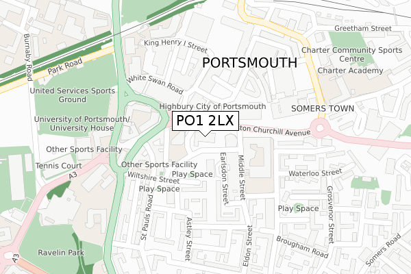
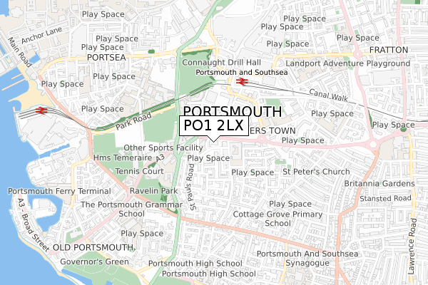
PO1 2LX is located in the St Thomas electoral ward, within the unitary authority of Portsmouth and the English Parliamentary constituency of Portsmouth South. The Sub Integrated Care Board (ICB) Location is NHS Hampshire and Isle of Wight ICB - 10R and the police force is Hampshire. This postcode has been in use since July 1990.


GetTheData
Source: OS Open Zoomstack (Ordnance Survey)
Licence: Open Government Licence (requires attribution)
Attribution: Contains OS data © Crown copyright and database right 2025
Source: Open Postcode Geo
Licence: Open Government Licence (requires attribution)
Attribution: Contains OS data © Crown copyright and database right 2025; Contains Royal Mail data © Royal Mail copyright and database right 2025; Source: Office for National Statistics licensed under the Open Government Licence v.3.0
| Easting | 464040 |
| Northing | 99910 |
| Latitude | 50.795215 |
| Longitude | -1.092720 |
GetTheData
Source: Open Postcode Geo
Licence: Open Government Licence
| Country | England |
| Postcode District | PO1 |
➜ See where PO1 is on a map ➜ Where is Portsmouth? | |
GetTheData
Source: Land Registry Price Paid Data
Licence: Open Government Licence
Elevation or altitude of PO1 2LX as distance above sea level:
| Metres | Feet | |
|---|---|---|
| Elevation | 10m | 33ft |
Elevation is measured from the approximate centre of the postcode, to the nearest point on an OS contour line from OS Terrain 50, which has contour spacing of ten vertical metres.
➜ How high above sea level am I? Find the elevation of your current position using your device's GPS.
GetTheData
Source: Open Postcode Elevation
Licence: Open Government Licence
| Ward | St Thomas |
| Constituency | Portsmouth South |
GetTheData
Source: ONS Postcode Database
Licence: Open Government Licence
| Middle Street (Winston Churchill Avenue) | Somers Town | 29m |
| Highbury Centre (Winston Churchill Avenue) | Somers Town | 44m |
| Highbury Centre (Winston Churchill Avenue) | Somers Town | 49m |
| Eldon Street | Somers Town | 253m |
| Hampshire Terrace | Southsea | 257m |
| Portsmouth & Southsea Station | 0.4km |
| Portsmouth Harbour Station | 1.1km |
| Southsea Hoverport | 1.2km |
GetTheData
Source: NaPTAN
Licence: Open Government Licence
GetTheData
Source: ONS Postcode Database
Licence: Open Government Licence


➜ Get more ratings from the Food Standards Agency
GetTheData
Source: Food Standards Agency
Licence: FSA terms & conditions
| Last Collection | |||
|---|---|---|---|
| Location | Mon-Fri | Sat | Distance |
| Pearl Buildings | 18:30 | 11:30 | 144m |
| Guildhall Square | 17:30 | 11:30 | 187m |
| St James Road | 17:00 | 11:30 | 197m |
GetTheData
Source: Dracos
Licence: Creative Commons Attribution-ShareAlike
The below table lists the International Territorial Level (ITL) codes (formerly Nomenclature of Territorial Units for Statistics (NUTS) codes) and Local Administrative Units (LAU) codes for PO1 2LX:
| ITL 1 Code | Name |
|---|---|
| TLJ | South East (England) |
| ITL 2 Code | Name |
| TLJ3 | Hampshire and Isle of Wight |
| ITL 3 Code | Name |
| TLJ31 | Portsmouth |
| LAU 1 Code | Name |
| E06000044 | Portsmouth |
GetTheData
Source: ONS Postcode Directory
Licence: Open Government Licence
The below table lists the Census Output Area (OA), Lower Layer Super Output Area (LSOA), and Middle Layer Super Output Area (MSOA) for PO1 2LX:
| Code | Name | |
|---|---|---|
| OA | E00174459 | |
| LSOA | E01017132 | Portsmouth 018E |
| MSOA | E02003541 | Portsmouth 018 |
GetTheData
Source: ONS Postcode Directory
Licence: Open Government Licence
| PO5 4BE | Waltham Street | 104m |
| PO1 2SB | Lord Montgomery Way | 117m |
| PO1 2SG | Lord Montgomery Way | 120m |
| PO1 2RY | Guildhall Walk | 122m |
| PO5 4AQ | St Pauls Road | 123m |
| PO5 4BP | Middle Street | 125m |
| PO5 4DE | Meriden Road | 132m |
| PO1 2DD | Guildhall Walk | 148m |
| PO5 4AD | St Pauls Road | 152m |
| PO5 4DH | Earlsdon Street | 154m |
GetTheData
Source: Open Postcode Geo; Land Registry Price Paid Data
Licence: Open Government Licence