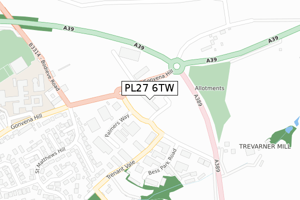
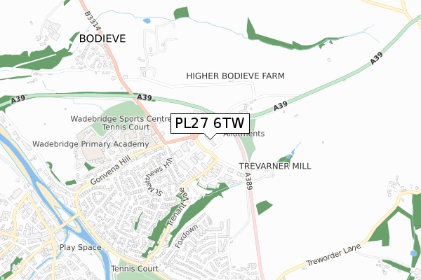
PL27 6TW is located in the Wadebridge East & St Minver electoral ward, within the unitary authority of Cornwall and the English Parliamentary constituency of North Cornwall. The Sub Integrated Care Board (ICB) Location is NHS Cornwall and the Isles of Scilly ICB - 11N and the police force is Devon & Cornwall. This postcode has been in use since February 1990.


GetTheData
Source: OS Open Zoomstack (Ordnance Survey)
Licence: Open Government Licence (requires attribution)
Attribution: Contains OS data © Crown copyright and database right 2025
Source: Open Postcode Geo
Licence: Open Government Licence (requires attribution)
Attribution: Contains OS data © Crown copyright and database right 2025; Contains Royal Mail data © Royal Mail copyright and database right 2025; Source: Office for National Statistics licensed under the Open Government Licence v.3.0
| Easting | 199966 |
| Northing | 72940 |
| Latitude | 50.521972 |
| Longitude | -4.823319 |
GetTheData
Source: Open Postcode Geo
Licence: Open Government Licence
| Country | England |
| Postcode District | PL27 |
➜ See where PL27 is on a map ➜ Where is Wadebridge? | |
GetTheData
Source: Land Registry Price Paid Data
Licence: Open Government Licence
Elevation or altitude of PL27 6TW as distance above sea level:
| Metres | Feet | |
|---|---|---|
| Elevation | 50m | 164ft |
Elevation is measured from the approximate centre of the postcode, to the nearest point on an OS contour line from OS Terrain 50, which has contour spacing of ten vertical metres.
➜ How high above sea level am I? Find the elevation of your current position using your device's GPS.
GetTheData
Source: Open Postcode Elevation
Licence: Open Government Licence
| Ward | Wadebridge East & St Minver |
| Constituency | North Cornwall |
GetTheData
Source: ONS Postcode Database
Licence: Open Government Licence
| Gonvena Hill (B3314) | Wadebridge | 112m |
| Gonvena Hill (B3314) | Wadebridge | 123m |
| A39 Roundabout | Wadebridge | 162m |
| Wadebridge School (Gonvena Hill) | Wadebridge | 363m |
| Sports Centre (Bodieve Road) | Wadebridge | 373m |
GetTheData
Source: NaPTAN
Licence: Open Government Licence
GetTheData
Source: ONS Postcode Database
Licence: Open Government Licence


➜ Get more ratings from the Food Standards Agency
GetTheData
Source: Food Standards Agency
Licence: FSA terms & conditions
| Last Collection | |||
|---|---|---|---|
| Location | Mon-Fri | Sat | Distance |
| Guineaport Road | 17:15 | 08:45 | 1,133m |
| Wadebridge Post Office | 18:00 | 12:00 | 1,137m |
| Moleworth Street | 17:30 | 11:15 | 1,232m |
GetTheData
Source: Dracos
Licence: Creative Commons Attribution-ShareAlike
The below table lists the International Territorial Level (ITL) codes (formerly Nomenclature of Territorial Units for Statistics (NUTS) codes) and Local Administrative Units (LAU) codes for PL27 6TW:
| ITL 1 Code | Name |
|---|---|
| TLK | South West (England) |
| ITL 2 Code | Name |
| TLK3 | Cornwall and Isles of Scilly |
| ITL 3 Code | Name |
| TLK30 | Cornwall and Isles of Scilly |
| LAU 1 Code | Name |
| E06000052 | Cornwall |
GetTheData
Source: ONS Postcode Directory
Licence: Open Government Licence
The below table lists the Census Output Area (OA), Lower Layer Super Output Area (LSOA), and Middle Layer Super Output Area (MSOA) for PL27 6TW:
| Code | Name | |
|---|---|---|
| OA | E00095555 | |
| LSOA | E01018924 | Cornwall 007A |
| MSOA | E02003937 | Cornwall 007 |
GetTheData
Source: ONS Postcode Directory
Licence: Open Government Licence
| PL27 6HB | Trenant Industrial Estate | 206m |
| PL27 6DU | St Cleer Drive | 270m |
| PL27 6EE | 288m | |
| PL27 6DT | St Enodoc Close | 303m |
| PL27 6DJ | 307m | |
| PL27 6EA | Bodieve Road | 324m |
| PL27 6HH | 325m | |
| PL27 6DX | St Matthews Hill | 365m |
| PL27 6DY | School Walk | 368m |
| PL27 6BH | Franklin Close | 389m |
GetTheData
Source: Open Postcode Geo; Land Registry Price Paid Data
Licence: Open Government Licence