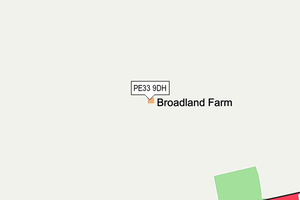
PE33 9DH lies on Swaffham Road in Fincham, King's Lynn. PE33 9DH is located in the Airfield electoral ward, within the local authority district of King's Lynn and West Norfolk and the English Parliamentary constituency of South West Norfolk. The Sub Integrated Care Board (ICB) Location is NHS Norfolk and Waveney ICB - 26A and the police force is Norfolk. This postcode has been in use since January 1980.


GetTheData
Source: OS OpenMap – Local (Ordnance Survey)
Source: OS VectorMap District (Ordnance Survey)
Licence: Open Government Licence (requires attribution)
| Easting | 570665 |
| Northing | 306862 |
| Latitude | 52.632695 |
| Longitude | 0.520425 |
GetTheData
Source: Open Postcode Geo
Licence: Open Government Licence
| Street | Swaffham Road |
| Locality | Fincham |
| Town/City | King's Lynn |
| Country | England |
| Postcode District | PE33 |
➜ See where PE33 is on a map | |
GetTheData
Source: Land Registry Price Paid Data
Licence: Open Government Licence
Elevation or altitude of PE33 9DH as distance above sea level:
| Metres | Feet | |
|---|---|---|
| Elevation | 30m | 98ft |
Elevation is measured from the approximate centre of the postcode, to the nearest point on an OS contour line from OS Terrain 50, which has contour spacing of ten vertical metres.
➜ How high above sea level am I? Find the elevation of your current position using your device's GPS.
GetTheData
Source: Open Postcode Elevation
Licence: Open Government Licence
| Ward | Airfield |
| Constituency | South West Norfolk |
GetTheData
Source: ONS Postcode Database
Licence: Open Government Licence
GetTheData
Source: ONS Postcode Database
Licence: Open Government Licence


➜ Get more ratings from the Food Standards Agency
GetTheData
Source: Food Standards Agency
Licence: FSA terms & conditions
| Last Collection | |||
|---|---|---|---|
| Location | Mon-Fri | Sat | Distance |
| Fincham Post Office | 16:50 | 10:00 | 1,810m |
| High Street | 16:55 | 10:00 | 2,332m |
| Barton Bendish | 16:50 | 07:30 | 2,926m |
GetTheData
Source: Dracos
Licence: Creative Commons Attribution-ShareAlike
The below table lists the International Territorial Level (ITL) codes (formerly Nomenclature of Territorial Units for Statistics (NUTS) codes) and Local Administrative Units (LAU) codes for PE33 9DH:
| ITL 1 Code | Name |
|---|---|
| TLH | East |
| ITL 2 Code | Name |
| TLH1 | East Anglia |
| ITL 3 Code | Name |
| TLH16 | North and West Norfolk |
| LAU 1 Code | Name |
| E07000146 | King's Lynn and West Norfolk |
GetTheData
Source: ONS Postcode Directory
Licence: Open Government Licence
The below table lists the Census Output Area (OA), Lower Layer Super Output Area (LSOA), and Middle Layer Super Output Area (MSOA) for PE33 9DH:
| Code | Name | |
|---|---|---|
| OA | E00135849 | |
| LSOA | E01026727 | King's Lynn and West Norfolk 018B |
| MSOA | E02005568 | King's Lynn and West Norfolk 018 |
GetTheData
Source: ONS Postcode Directory
Licence: Open Government Licence
| PE33 9DR | Hatherley Gardens | 1241m |
| PE33 9GG | The Paddocks | 1298m |
| PE33 9GF | Church Road | 1347m |
| PE33 9DL | Fincham Road | 1356m |
| PE33 9DP | 1412m | |
| PE33 9DS | Chapel Lane | 1472m |
| PE33 9GJ | Swaffham Road | 1540m |
| PE33 9DN | Boughton Long Road | 1687m |
| PE33 9ET | Main Road | 1723m |
| PE33 9ES | Marham Road | 1777m |
GetTheData
Source: Open Postcode Geo; Land Registry Price Paid Data
Licence: Open Government Licence