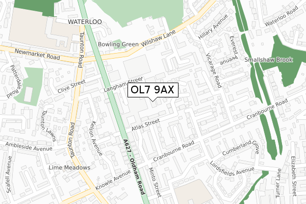
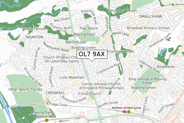
OL7 9AX is located in the Ashton Waterloo electoral ward, within the metropolitan district of Tameside and the English Parliamentary constituency of Ashton-under-Lyne. The Sub Integrated Care Board (ICB) Location is NHS Greater Manchester ICB - 01Y and the police force is Greater Manchester. This postcode has been in use since January 1980.


GetTheData
Source: OS Open Zoomstack (Ordnance Survey)
Licence: Open Government Licence (requires attribution)
Attribution: Contains OS data © Crown copyright and database right 2025
Source: Open Postcode Geo
Licence: Open Government Licence (requires attribution)
Attribution: Contains OS data © Crown copyright and database right 2025; Contains Royal Mail data © Royal Mail copyright and database right 2025; Source: Office for National Statistics licensed under the Open Government Licence v.3.0
| Easting | 393413 |
| Northing | 400079 |
| Latitude | 53.497369 |
| Longitude | -2.100762 |
GetTheData
Source: Open Postcode Geo
Licence: Open Government Licence
| Country | England |
| Postcode District | OL7 |
➜ See where OL7 is on a map ➜ Where is Ashton-under-Lyne? | |
GetTheData
Source: Land Registry Price Paid Data
Licence: Open Government Licence
Elevation or altitude of OL7 9AX as distance above sea level:
| Metres | Feet | |
|---|---|---|
| Elevation | 120m | 394ft |
Elevation is measured from the approximate centre of the postcode, to the nearest point on an OS contour line from OS Terrain 50, which has contour spacing of ten vertical metres.
➜ How high above sea level am I? Find the elevation of your current position using your device's GPS.
GetTheData
Source: Open Postcode Elevation
Licence: Open Government Licence
| Ward | Ashton Waterloo |
| Constituency | Ashton-under-lyne |
GetTheData
Source: ONS Postcode Database
Licence: Open Government Licence
| Oldham Rd/Atlas St (Oldham Rd) | Waterloo | 148m |
| Oldham Rd/Atlas St (Oldham Rd) | Waterloo | 153m |
| Oldham Rd/Wilshaw Ln (Oldham Rd) | Waterloo | 158m |
| Wilshaw Ln/Oldham R (Wilshaw Ln) | Waterloo | 180m |
| Cranbourne Rd/Cranbourne Cl (Cranbourne Rd) | Waterloo | 180m |
| Ashton-under-lyne (Manchester Metrolink) (Wellington Rd) | Ashton Under Lyne | 804m |
| Ashton West (Manchester Metrolink) (Lord Sheldon Way) | Ashton Moss | 993m |
| Ashton-under-Lyne Station | 0.8km |
| Guide Bridge Station | 2.7km |
| Stalybridge Station | 2.9km |
GetTheData
Source: NaPTAN
Licence: Open Government Licence
GetTheData
Source: ONS Postcode Database
Licence: Open Government Licence


➜ Get more ratings from the Food Standards Agency
GetTheData
Source: Food Standards Agency
Licence: FSA terms & conditions
| Last Collection | |||
|---|---|---|---|
| Location | Mon-Fri | Sat | Distance |
| Christchurch | 17:25 | 11:50 | 396m |
| Higher Hurst Tso | 17:30 | 11:40 | 1,456m |
| Ashton Delivery Office | 19:00 | 1,461m | |
GetTheData
Source: Dracos
Licence: Creative Commons Attribution-ShareAlike
The below table lists the International Territorial Level (ITL) codes (formerly Nomenclature of Territorial Units for Statistics (NUTS) codes) and Local Administrative Units (LAU) codes for OL7 9AX:
| ITL 1 Code | Name |
|---|---|
| TLD | North West (England) |
| ITL 2 Code | Name |
| TLD3 | Greater Manchester |
| ITL 3 Code | Name |
| TLD35 | Greater Manchester South East |
| LAU 1 Code | Name |
| E08000008 | Tameside |
GetTheData
Source: ONS Postcode Directory
Licence: Open Government Licence
The below table lists the Census Output Area (OA), Lower Layer Super Output Area (LSOA), and Middle Layer Super Output Area (MSOA) for OL7 9AX:
| Code | Name | |
|---|---|---|
| OA | E00030187 | |
| LSOA | E01005957 | Tameside 005C |
| MSOA | E02001233 | Tameside 005 |
GetTheData
Source: ONS Postcode Directory
Licence: Open Government Licence
| OL7 9BB | Atlas Street | 45m |
| OL7 9AL | Dales Brow Avenue | 90m |
| OL7 9AG | Cedar Mews | 108m |
| OL7 9AZ | Oldham Road | 111m |
| OL7 9BQ | Elgin Street | 119m |
| OL7 9BG | Minto Street | 130m |
| OL7 9BJ | Cranbourne Close | 130m |
| OL7 9UT | Watermill Court | 131m |
| OL7 9BL | Farnsworth Avenue | 136m |
| OL7 9AS | Oldham Road | 138m |
GetTheData
Source: Open Postcode Geo; Land Registry Price Paid Data
Licence: Open Government Licence