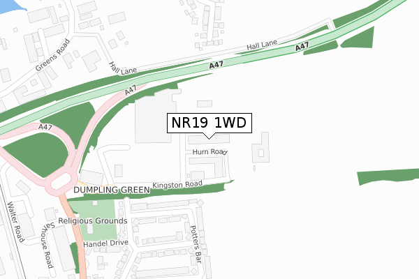
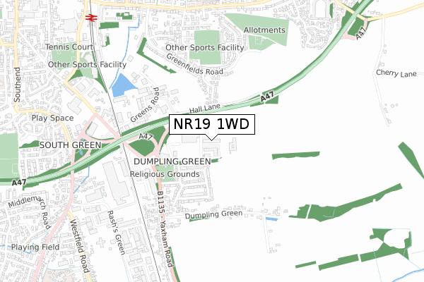
NR19 1WD is located in the Dereham Neatherd electoral ward, within the local authority district of Breckland and the English Parliamentary constituency of Mid Norfolk. The Sub Integrated Care Board (ICB) Location is NHS Norfolk and Waveney ICB - 26A and the police force is Norfolk. This postcode has been in use since June 2000.


GetTheData
Source: OS Open Zoomstack (Ordnance Survey)
Licence: Open Government Licence (requires attribution)
Attribution: Contains OS data © Crown copyright and database right 2025
Source: Open Postcode Geo
Licence: Open Government Licence (requires attribution)
Attribution: Contains OS data © Crown copyright and database right 2025; Contains Royal Mail data © Royal Mail copyright and database right 2025; Source: Office for National Statistics licensed under the Open Government Licence v.3.0
| Easting | 600074 |
| Northing | 312371 |
| Latitude | 52.672099 |
| Longitude | 0.957723 |
GetTheData
Source: Open Postcode Geo
Licence: Open Government Licence
| Country | England |
| Postcode District | NR19 |
➜ See where NR19 is on a map ➜ Where is Dereham? | |
GetTheData
Source: Land Registry Price Paid Data
Licence: Open Government Licence
Elevation or altitude of NR19 1WD as distance above sea level:
| Metres | Feet | |
|---|---|---|
| Elevation | 50m | 164ft |
Elevation is measured from the approximate centre of the postcode, to the nearest point on an OS contour line from OS Terrain 50, which has contour spacing of ten vertical metres.
➜ How high above sea level am I? Find the elevation of your current position using your device's GPS.
GetTheData
Source: Open Postcode Elevation
Licence: Open Government Licence
| Ward | Dereham Neatherd |
| Constituency | Mid Norfolk |
GetTheData
Source: ONS Postcode Database
Licence: Open Government Licence
| Tesco (Car Park) | Dereham | 217m |
| Handel Drive (Yaxham Road) | Dereham | 405m |
| Handel Drive (Yaxham Road) | Dereham | 444m |
| Yaxham Road | Dereham | 679m |
| Yaxham Road | Dereham | 689m |
| Dereham (Mid Norfolk Railway) | Dereham | 1,019m |
GetTheData
Source: NaPTAN
Licence: Open Government Licence
Estimated total energy consumption in NR19 1WD by fuel type, 2015.
| Consumption (kWh) | 140,619 |
|---|---|
| Meter count | 8 |
| Mean (kWh/meter) | 17,577 |
| Median (kWh/meter) | 16,283 |
GetTheData
Source: Postcode level gas estimates: 2015 (experimental)
Source: Postcode level electricity estimates: 2015 (experimental)
Licence: Open Government Licence
GetTheData
Source: ONS Postcode Database
Licence: Open Government Licence


➜ Get more ratings from the Food Standards Agency
GetTheData
Source: Food Standards Agency
Licence: FSA terms & conditions
| Last Collection | |||
|---|---|---|---|
| Location | Mon-Fri | Sat | Distance |
| Tesco Yaxham Road | 17:30 | 12:15 | 173m |
| Yaxham Road Post Office | 17:15 | 12:15 | 476m |
| Rashes Green | 17:30 | 11:45 | 735m |
GetTheData
Source: Dracos
Licence: Creative Commons Attribution-ShareAlike
The below table lists the International Territorial Level (ITL) codes (formerly Nomenclature of Territorial Units for Statistics (NUTS) codes) and Local Administrative Units (LAU) codes for NR19 1WD:
| ITL 1 Code | Name |
|---|---|
| TLH | East |
| ITL 2 Code | Name |
| TLH1 | East Anglia |
| ITL 3 Code | Name |
| TLH17 | Breckland and South Norfolk |
| LAU 1 Code | Name |
| E07000143 | Breckland |
GetTheData
Source: ONS Postcode Directory
Licence: Open Government Licence
The below table lists the Census Output Area (OA), Lower Layer Super Output Area (LSOA), and Middle Layer Super Output Area (MSOA) for NR19 1WD:
| Code | Name | |
|---|---|---|
| OA | E00134261 | |
| LSOA | E01026427 | Breckland 005C |
| MSOA | E02005507 | Breckland 005 |
GetTheData
Source: ONS Postcode Directory
Licence: Open Government Licence
| NR19 1HJ | Bishoptyne Avenue | 197m |
| NR19 1HN | Potters Bar | 248m |
| NR20 3TZ | Fern Close | 257m |
| NR19 1HL | Burtontyne Avenue | 268m |
| NR19 1HH | George Borrow Road | 329m |
| NR20 3TY | Rowan Drive | 362m |
| NR19 1HW | Smithtyne Avenue | 367m |
| NR19 1HQ | Handel Drive | 369m |
| NR19 1HP | Dumpling Green | 411m |
| NR19 1FS | Napier Way | 481m |
GetTheData
Source: Open Postcode Geo; Land Registry Price Paid Data
Licence: Open Government Licence