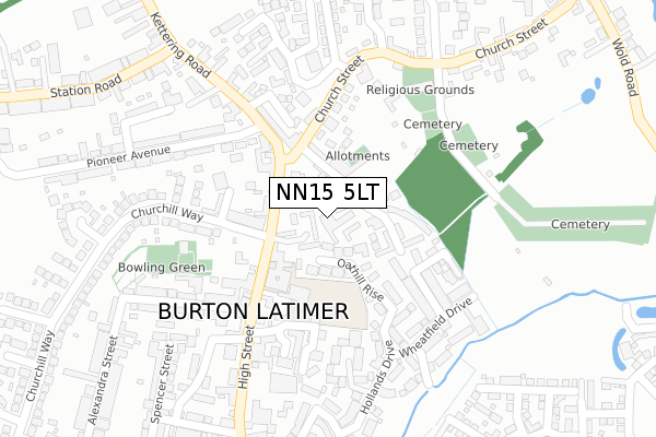
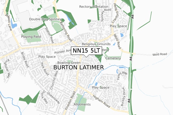
NN15 5LT is located in the Burton and Broughton electoral ward, within the unitary authority of North Northamptonshire and the English Parliamentary constituency of Kettering. The Sub Integrated Care Board (ICB) Location is NHS Northamptonshire ICB - 78H and the police force is Northamptonshire. This postcode has been in use since January 1980.


GetTheData
Source: OS Open Zoomstack (Ordnance Survey)
Licence: Open Government Licence (requires attribution)
Attribution: Contains OS data © Crown copyright and database right 2025
Source: Open Postcode Geo
Licence: Open Government Licence (requires attribution)
Attribution: Contains OS data © Crown copyright and database right 2025; Contains Royal Mail data © Royal Mail copyright and database right 2025; Source: Office for National Statistics licensed under the Open Government Licence v.3.0
| Easting | 490174 |
| Northing | 274815 |
| Latitude | 52.363980 |
| Longitude | -0.677144 |
GetTheData
Source: Open Postcode Geo
Licence: Open Government Licence
| Country | England |
| Postcode District | NN15 |
➜ See where NN15 is on a map ➜ Where is Burton Latimer? | |
GetTheData
Source: Land Registry Price Paid Data
Licence: Open Government Licence
Elevation or altitude of NN15 5LT as distance above sea level:
| Metres | Feet | |
|---|---|---|
| Elevation | 70m | 230ft |
Elevation is measured from the approximate centre of the postcode, to the nearest point on an OS contour line from OS Terrain 50, which has contour spacing of ten vertical metres.
➜ How high above sea level am I? Find the elevation of your current position using your device's GPS.
GetTheData
Source: Open Postcode Elevation
Licence: Open Government Licence
| Ward | Burton And Broughton |
| Constituency | Kettering |
GetTheData
Source: ONS Postcode Database
Licence: Open Government Licence
| Church Street (High Street) | Burton Latimer | 102m |
| Meeting Lane (Church Street) | Burton Latimer | 128m |
| Meeting Lane (Church Street) | Burton Latimer | 135m |
| Orbit Mews (Churchill Way) | Burton Latimer | 135m |
| Orbit Mews (Churchill Way) | Burton Latimer | 155m |
| Kettering Station | 5km |
GetTheData
Source: NaPTAN
Licence: Open Government Licence
GetTheData
Source: ONS Postcode Database
Licence: Open Government Licence


➜ Get more ratings from the Food Standards Agency
GetTheData
Source: Food Standards Agency
Licence: FSA terms & conditions
| Last Collection | |||
|---|---|---|---|
| Location | Mon-Fri | Sat | Distance |
| Church Street | 16:45 | 08:15 | 124m |
| Barton Road | 16:45 | 11:45 | 1,931m |
| Barton Seagrave Tso | 17:30 | 11:00 | 2,704m |
GetTheData
Source: Dracos
Licence: Creative Commons Attribution-ShareAlike
The below table lists the International Territorial Level (ITL) codes (formerly Nomenclature of Territorial Units for Statistics (NUTS) codes) and Local Administrative Units (LAU) codes for NN15 5LT:
| ITL 1 Code | Name |
|---|---|
| TLF | East Midlands (England) |
| ITL 2 Code | Name |
| TLF2 | Leicestershire, Rutland and Northamptonshire |
| ITL 3 Code | Name |
| TLF25 | North Northamptonshire |
| LAU 1 Code | Name |
| E07000153 | Kettering |
GetTheData
Source: ONS Postcode Directory
Licence: Open Government Licence
The below table lists the Census Output Area (OA), Lower Layer Super Output Area (LSOA), and Middle Layer Super Output Area (MSOA) for NN15 5LT:
| Code | Name | |
|---|---|---|
| OA | E00137860 | |
| LSOA | E01027101 | Kettering 011C |
| MSOA | E02005649 | Kettering 011 |
GetTheData
Source: ONS Postcode Directory
Licence: Open Government Licence
| NN15 5LS | Meeting Lane | 74m |
| NN15 5LB | High Street | 79m |
| NN15 5YP | Oathill Rise | 90m |
| NN15 5LA | High Street | 171m |
| NN15 5YU | Barley Drive | 171m |
| NN15 5LF | High Street | 179m |
| NN15 5YW | Rye Close | 187m |
| NN15 5FD | Normandy Close | 209m |
| NN15 5RN | Latimer Close | 213m |
| NN15 5NJ | Bakehouse Lane | 220m |
GetTheData
Source: Open Postcode Geo; Land Registry Price Paid Data
Licence: Open Government Licence