NE29 9QR maps, stats, and open data
NE29 9QR is located in the Collingwood electoral ward, within the metropolitan district of North Tyneside and the English Parliamentary constituency of Tynemouth. The Sub Integrated Care Board (ICB) Location is NHS North East and North Cumbria ICB - 99C and the police force is Northumbria. This postcode has been in use since January 1980.
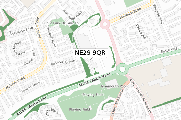
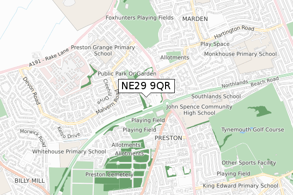
NE29 9QR maps


Licence: Open Government Licence (requires attribution)
Attribution: Contains OS data © Crown copyright and database right 2025
Source: Open Postcode Geo
Licence: Open Government Licence (requires attribution)
Attribution: Contains OS data © Crown copyright and database right 2025; Contains Royal Mail data © Royal Mail copyright and database right 2025; Source: Office for National Statistics licensed under the Open Government Licence v.3.0
NE29 9QR geodata
| Easting | 434854 |
| Northing | 569983 |
| Latitude | 55.023178 |
| Longitude | -1.456385 |
Where is NE29 9QR?
| Country | England |
| Postcode District | NE29 |
NE29 9QR Elevation
Elevation or altitude of NE29 9QR as distance above sea level:
| Metres | Feet | |
|---|---|---|
| Elevation | 40m | 131ft |
Elevation is measured from the approximate centre of the postcode, to the nearest point on an OS contour line from OS Terrain 50, which has contour spacing of ten vertical metres.
➜ How high above sea level am I? Find the elevation of your current position using your device's GPS.
Politics
| Ward | Collingwood |
|---|---|
| Constituency | Tynemouth |
Transport
Nearest bus stops to NE29 9QR
| Beach Road-preston Road (Beach Road) | Preston Grange | 130m |
| Preston North Road - Morrisons (Preston North Road) | Preston Grange | 178m |
| Preston North Road - Morrisons (Preston North Road) | Preston Grange | 202m |
| Preston Village (North Road) | North Shields | 228m |
| Hartburn Road | Preston Grange | 261m |
Nearest underground/metro/tram to NE29 9QR
| Cullercoats (Tyne And Wear Metro Station) (Station Road) | Cullercoats | 1,845m |
Broadband
Broadband speed in NE29 9QR (2019 data)
Download
| Median download speed | 3.9Mbps |
| Average download speed | 3.4Mbps |
| Maximum download speed | 4.76Mbps |
Upload
| Median upload speed | 0.7Mbps |
| Average upload speed | 0.7Mbps |
| Maximum upload speed | 0.83Mbps |
Deprivation
6.1% of English postcodes are less deprived than NE29 9QR:Food Standards Agency
Three nearest food hygiene ratings to NE29 9QR (metres)


➜ Get more ratings from the Food Standards Agency
Nearest post box to NE29 9QR
| Last Collection | |||
|---|---|---|---|
| Location | Mon-Fri | Sat | Distance |
| Monkswood | 16:00 | 11:45 | 376m |
| Edington Road | 16:00 | 11:45 | 467m |
| Tesco Norham Road | 17:00 | 11:00 | 701m |
NE29 9QR ITL and NE29 9QR LAU
The below table lists the International Territorial Level (ITL) codes (formerly Nomenclature of Territorial Units for Statistics (NUTS) codes) and Local Administrative Units (LAU) codes for NE29 9QR:
| ITL 1 Code | Name |
|---|---|
| TLC | North East (England) |
| ITL 2 Code | Name |
| TLC2 | Northumberland, and Tyne and Wear |
| ITL 3 Code | Name |
| TLC22 | Tyneside |
| LAU 1 Code | Name |
| E08000022 | North Tyneside |
NE29 9QR census areas
The below table lists the Census Output Area (OA), Lower Layer Super Output Area (LSOA), and Middle Layer Super Output Area (MSOA) for NE29 9QR:
| Code | Name | |
|---|---|---|
| OA | E00043422 | |
| LSOA | E01008557 | North Tyneside 013D |
| MSOA | E02001750 | North Tyneside 013 |
Nearest postcodes to NE29 9QR
| NE29 9HG | Heybrook Avenue | 122m |
| NE29 9HN | Langdon Close | 128m |
| NE29 9HW | Pevensey Close | 196m |
| NE29 9HF | Whitecliff Close | 206m |
| NE29 9PX | Preston North Road | 211m |
| NE30 3LT | Preston Wood | 232m |
| NE29 9HL | Sandwich Road | 243m |
| NE29 9ER | Malvern Road | 248m |
| NE29 9PY | Preston North Road | 259m |
| NE29 9HP | Studland Close | 262m |