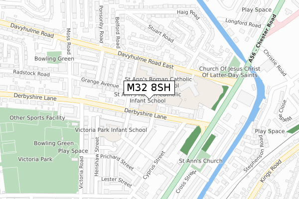
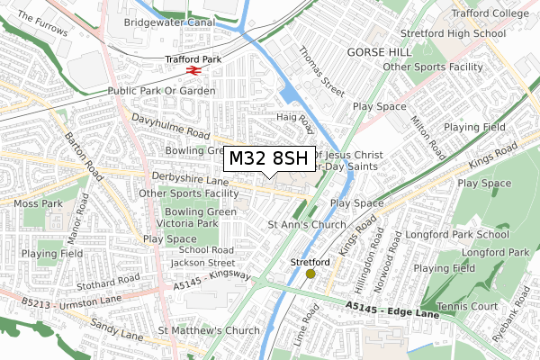
M32 8SH is located in the Stretford & Humphrey Park electoral ward, within the metropolitan district of Trafford and the English Parliamentary constituency of Stretford and Urmston. The Sub Integrated Care Board (ICB) Location is NHS Greater Manchester ICB - 02A and the police force is Greater Manchester. This postcode has been in use since May 1994.


GetTheData
Source: OS Open Zoomstack (Ordnance Survey)
Licence: Open Government Licence (requires attribution)
Attribution: Contains OS data © Crown copyright and database right 2025
Source: Open Postcode Geo
Licence: Open Government Licence (requires attribution)
Attribution: Contains OS data © Crown copyright and database right 2025; Contains Royal Mail data © Royal Mail copyright and database right 2025; Source: Office for National Statistics licensed under the Open Government Licence v.3.0
| Easting | 379757 |
| Northing | 394875 |
| Latitude | 53.450243 |
| Longitude | -2.306276 |
GetTheData
Source: Open Postcode Geo
Licence: Open Government Licence
| Country | England |
| Postcode District | M32 |
➜ See where M32 is on a map ➜ Where is Stretford? | |
GetTheData
Source: Land Registry Price Paid Data
Licence: Open Government Licence
Elevation or altitude of M32 8SH as distance above sea level:
| Metres | Feet | |
|---|---|---|
| Elevation | 30m | 98ft |
Elevation is measured from the approximate centre of the postcode, to the nearest point on an OS contour line from OS Terrain 50, which has contour spacing of ten vertical metres.
➜ How high above sea level am I? Find the elevation of your current position using your device's GPS.
GetTheData
Source: Open Postcode Elevation
Licence: Open Government Licence
| Ward | Stretford & Humphrey Park |
| Constituency | Stretford And Urmston |
GetTheData
Source: ONS Postcode Database
Licence: Open Government Licence
| Davyhulme Road East/Chester Road (Davyhulme Rd E) | Gorse Hill | 206m |
| Chester Road/Derbyshire Lane (Chester Road) | Gorse Hill | 213m |
| Davyhulme Road East/Chester Road (Davyhulme Rd E) | Gorse Hill | 221m |
| Davyhulme Road East/Moss Road (Davyhulme Rd E) | Stretford | 228m |
| Chester Road/Davyhulme Road East (Chester Road) | Gorse Hill | 236m |
| Stretford (Manchester Metrolink) (Edge Lane) | Stretford | 523m |
| Old Trafford (Manchester Metrolink) (Trafford Park Road) | Old Trafford | 1,563m |
| Trafford Park Station | 0.6km |
| Humphrey Park Station | 1.4km |
| Manchester United FC Station | 1.7km |
GetTheData
Source: NaPTAN
Licence: Open Government Licence
GetTheData
Source: ONS Postcode Database
Licence: Open Government Licence


➜ Get more ratings from the Food Standards Agency
GetTheData
Source: Food Standards Agency
Licence: FSA terms & conditions
| Last Collection | |||
|---|---|---|---|
| Location | Mon-Fri | Sat | Distance |
| 34 Daveyhulme Road East | 17:30 | 12:00 | 207m |
| Thirlmere Road/Moss Road | 17:30 | 12:00 | 476m |
| Metrolink Station In Wall | 17:30 | 12:00 | 523m |
GetTheData
Source: Dracos
Licence: Creative Commons Attribution-ShareAlike
The below table lists the International Territorial Level (ITL) codes (formerly Nomenclature of Territorial Units for Statistics (NUTS) codes) and Local Administrative Units (LAU) codes for M32 8SH:
| ITL 1 Code | Name |
|---|---|
| TLD | North West (England) |
| ITL 2 Code | Name |
| TLD3 | Greater Manchester |
| ITL 3 Code | Name |
| TLD34 | Greater Manchester South West |
| LAU 1 Code | Name |
| E08000009 | Trafford |
GetTheData
Source: ONS Postcode Directory
Licence: Open Government Licence
The below table lists the Census Output Area (OA), Lower Layer Super Output Area (LSOA), and Middle Layer Super Output Area (MSOA) for M32 8SH:
| Code | Name | |
|---|---|---|
| OA | E00031329 | |
| LSOA | E01006180 | Trafford 011D |
| MSOA | E02001269 | Trafford 011 |
GetTheData
Source: ONS Postcode Directory
Licence: Open Government Licence
| M32 8BH | Derbyshire Lane | 86m |
| M32 0DF | Delamere Avenue | 102m |
| M32 8BJ | Derbyshire Lane | 119m |
| M32 8BF | Derbyshire Lane | 129m |
| M32 8BW | Howard Street | 129m |
| M32 0DE | Melbourne Avenue | 130m |
| M32 8BP | Moreton Avenue | 133m |
| M32 0DN | Davyhulme Road East | 146m |
| M32 8BN | Derbyshire Lane | 147m |
| M32 0DA | Grange Avenue | 167m |
GetTheData
Source: Open Postcode Geo; Land Registry Price Paid Data
Licence: Open Government Licence