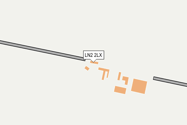
LN2 2LX is located in the Nettleham electoral ward, within the local authority district of West Lindsey and the English Parliamentary constituency of Gainsborough. The Sub Integrated Care Board (ICB) Location is NHS Lincolnshire ICB - 71E and the police force is Lincolnshire. This postcode has been in use since January 1980.


GetTheData
Source: OS OpenMap – Local (Ordnance Survey)
Source: OS VectorMap District (Ordnance Survey)
Licence: Open Government Licence (requires attribution)
| Easting | 498714 |
| Northing | 377737 |
| Latitude | 53.287418 |
| Longitude | -0.520685 |
GetTheData
Source: Open Postcode Geo
Licence: Open Government Licence
| Country | England |
| Postcode District | LN2 |
➜ See where LN2 is on a map ➜ Where is Grange de Lings? | |
GetTheData
Source: Land Registry Price Paid Data
Licence: Open Government Licence
Elevation or altitude of LN2 2LX as distance above sea level:
| Metres | Feet | |
|---|---|---|
| Elevation | 50m | 164ft |
Elevation is measured from the approximate centre of the postcode, to the nearest point on an OS contour line from OS Terrain 50, which has contour spacing of ten vertical metres.
➜ How high above sea level am I? Find the elevation of your current position using your device's GPS.
GetTheData
Source: Open Postcode Elevation
Licence: Open Government Licence
| Ward | Nettleham |
| Constituency | Gainsborough |
GetTheData
Source: ONS Postcode Database
Licence: Open Government Licence
| Lincolnshire Showground (A15) | Lincolnshire Showground | 1,333m |
| Lincolnshire Showground (A15) | Lincolnshire Showground | 1,344m |
| Watering Dyke Houses (Hall Lane) | Grange De Lings | 1,373m |
| Watering Dyke Houses (Hall Lane) | Grange De Lings | 1,375m |
| Welton Road Letter Box (Welton Road) | Nettleham | 2,005m |
GetTheData
Source: NaPTAN
Licence: Open Government Licence
| Percentage of properties with Next Generation Access | 100.0% |
| Percentage of properties with Superfast Broadband | 0.0% |
| Percentage of properties with Ultrafast Broadband | 0.0% |
| Percentage of properties with Full Fibre Broadband | 0.0% |
Superfast Broadband is between 30Mbps and 300Mbps
Ultrafast Broadband is > 300Mbps
| Percentage of properties unable to receive 2Mbps | 100.0% |
| Percentage of properties unable to receive 5Mbps | 100.0% |
| Percentage of properties unable to receive 10Mbps | 100.0% |
| Percentage of properties unable to receive 30Mbps | 100.0% |
GetTheData
Source: Ofcom
Licence: Ofcom Terms of Use (requires attribution)
GetTheData
Source: ONS Postcode Database
Licence: Open Government Licence


➜ Get more ratings from the Food Standards Agency
GetTheData
Source: Food Standards Agency
Licence: FSA terms & conditions
| Last Collection | |||
|---|---|---|---|
| Location | Mon-Fri | Sat | Distance |
| Scampton Post Office | 16:45 | 11:30 | 2,459m |
| Scothern Hill | 16:15 | 11:30 | 2,953m |
| Prebend Lane | 16:45 | 11:45 | 3,138m |
GetTheData
Source: Dracos
Licence: Creative Commons Attribution-ShareAlike
The below table lists the International Territorial Level (ITL) codes (formerly Nomenclature of Territorial Units for Statistics (NUTS) codes) and Local Administrative Units (LAU) codes for LN2 2LX:
| ITL 1 Code | Name |
|---|---|
| TLF | East Midlands (England) |
| ITL 2 Code | Name |
| TLF3 | Lincolnshire |
| ITL 3 Code | Name |
| TLF30 | Lincolnshire CC |
| LAU 1 Code | Name |
| E07000142 | West Lindsey |
GetTheData
Source: ONS Postcode Directory
Licence: Open Government Licence
The below table lists the Census Output Area (OA), Lower Layer Super Output Area (LSOA), and Middle Layer Super Output Area (MSOA) for LN2 2LX:
| Code | Name | |
|---|---|---|
| OA | E00134107 | |
| LSOA | E01026394 | West Lindsey 010B |
| MSOA | E02005501 | West Lindsey 010 |
GetTheData
Source: ONS Postcode Directory
Licence: Open Government Licence
| LN1 2SZ | Horncastle Lane | 1028m |
| LN2 2LZ | Brigg Road | 1370m |
| LN2 2LY | Watering Dyke Cottages | 1391m |
| LN1 2TA | Trenchard Square | 1843m |
| LN2 2LU | Welton Road | 1989m |
| LN2 3QD | Heath Road | 2003m |
| LN1 2ZF | Woodlands Edge | 2101m |
| LN1 2TH | Wellington Street | 2294m |
| LN1 2UX | Second Avenue | 2355m |
| LN1 2UR | Whitley Street | 2366m |
GetTheData
Source: Open Postcode Geo; Land Registry Price Paid Data
Licence: Open Government Licence