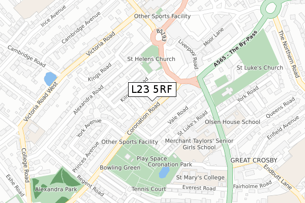
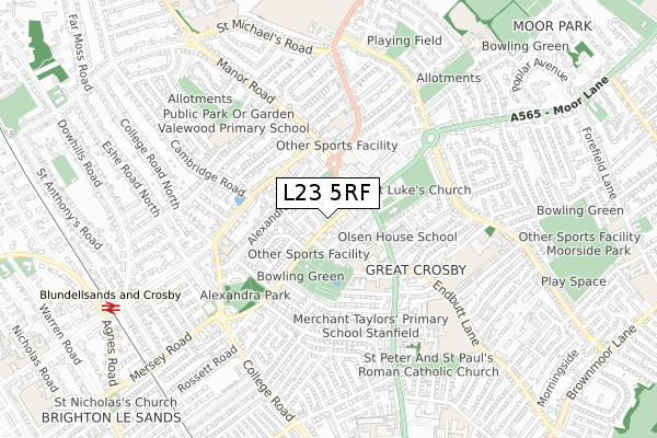
L23 5RF is located in the Blundellsands electoral ward, within the metropolitan district of Sefton and the English Parliamentary constituency of Sefton Central. The Sub Integrated Care Board (ICB) Location is NHS Cheshire and Merseyside ICB - 01T and the police force is Merseyside. This postcode has been in use since January 1980.


GetTheData
Source: OS Open Zoomstack (Ordnance Survey)
Licence: Open Government Licence (requires attribution)
Attribution: Contains OS data © Crown copyright and database right 2025
Source: Open Postcode Geo
Licence: Open Government Licence (requires attribution)
Attribution: Contains OS data © Crown copyright and database right 2025; Contains Royal Mail data © Royal Mail copyright and database right 2025; Source: Office for National Statistics licensed under the Open Government Licence v.3.0
| Easting | 331908 |
| Northing | 399823 |
| Latitude | 53.490690 |
| Longitude | -3.027755 |
GetTheData
Source: Open Postcode Geo
Licence: Open Government Licence
| Country | England |
| Postcode District | L23 |
➜ See where L23 is on a map ➜ Where is Crosby? | |
GetTheData
Source: Land Registry Price Paid Data
Licence: Open Government Licence
Elevation or altitude of L23 5RF as distance above sea level:
| Metres | Feet | |
|---|---|---|
| Elevation | 10m | 33ft |
Elevation is measured from the approximate centre of the postcode, to the nearest point on an OS contour line from OS Terrain 50, which has contour spacing of ten vertical metres.
➜ How high above sea level am I? Find the elevation of your current position using your device's GPS.
GetTheData
Source: Open Postcode Elevation
Licence: Open Government Licence
| Ward | Blundellsands |
| Constituency | Sefton Central |
GetTheData
Source: ONS Postcode Database
Licence: Open Government Licence
| Islington (Coronation Road) | Great Crosby | 47m |
| Crosby Village (Islington) | Great Crosby | 128m |
| Crosby Village (Islington) | Great Crosby | 138m |
| York Avenue (Coronation Road) | Crosby | 146m |
| Crosby Village (Islington) | Great Crosby | 152m |
| Blundellsands & Crosby Station | 0.9km |
| Hall Road Station | 1.6km |
| Waterloo (Merseyside) Station | 1.8km |
GetTheData
Source: NaPTAN
Licence: Open Government Licence
GetTheData
Source: ONS Postcode Database
Licence: Open Government Licence


➜ Get more ratings from the Food Standards Agency
GetTheData
Source: Food Standards Agency
Licence: FSA terms & conditions
| Last Collection | |||
|---|---|---|---|
| Location | Mon-Fri | Sat | Distance |
| Queens Road | 17:30 | 12:00 | 300m |
| Village Post Office | 17:00 | 12:00 | 381m |
| Blundellsands Road East | 17:15 | 12:00 | 453m |
GetTheData
Source: Dracos
Licence: Creative Commons Attribution-ShareAlike
The below table lists the International Territorial Level (ITL) codes (formerly Nomenclature of Territorial Units for Statistics (NUTS) codes) and Local Administrative Units (LAU) codes for L23 5RF:
| ITL 1 Code | Name |
|---|---|
| TLD | North West (England) |
| ITL 2 Code | Name |
| TLD7 | Merseyside |
| ITL 3 Code | Name |
| TLD73 | Sefton |
| LAU 1 Code | Name |
| E08000014 | Sefton |
GetTheData
Source: ONS Postcode Directory
Licence: Open Government Licence
The below table lists the Census Output Area (OA), Lower Layer Super Output Area (LSOA), and Middle Layer Super Output Area (MSOA) for L23 5RF:
| Code | Name | |
|---|---|---|
| OA | E00035161 | |
| LSOA | E01006939 | Sefton 022D |
| MSOA | E02001450 | Sefton 022 |
GetTheData
Source: ONS Postcode Directory
Licence: Open Government Licence
| L23 5SA | Third Avenue | 41m |
| L23 5RQ | Coronation Road | 42m |
| L23 5RX | Second Avenue | 51m |
| L23 5RE | Coronation Road | 65m |
| L23 5UJ | Coronation Road | 67m |
| L23 5RS | First Avenue | 74m |
| L23 5RZ | Vale Road | 75m |
| L23 5RU | Vermont Avenue | 90m |
| L23 5RY | Vale Road | 95m |
| L23 5ST | Harrington Road | 120m |
GetTheData
Source: Open Postcode Geo; Land Registry Price Paid Data
Licence: Open Government Licence