L1 2SA maps, stats, and open data
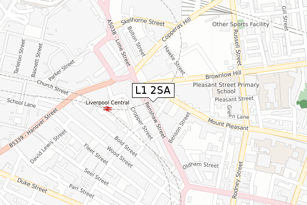
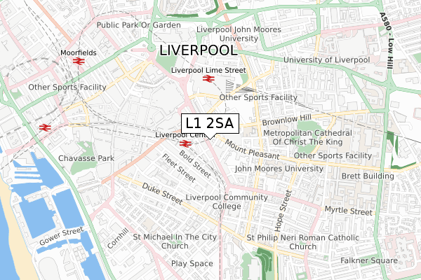
L1 2SA lies on Renshaw Street in Liverpool. L1 2SA is located in the City Centre South electoral ward, within the metropolitan district of Liverpool and the English Parliamentary constituency of Liverpool, Riverside. The Sub Integrated Care Board (ICB) Location is NHS Cheshire and Merseyside ICB - 99A and the police force is Merseyside. This postcode has been in use since January 1980.
L1 2SA maps


Licence: Open Government Licence (requires attribution)
Attribution: Contains OS data © Crown copyright and database right 2025
Source: Open Postcode Geo
Licence: Open Government Licence (requires attribution)
Attribution: Contains OS data © Crown copyright and database right 2025; Contains Royal Mail data © Royal Mail copyright and database right 2025; Source: Office for National Statistics licensed under the Open Government Licence v.3.0
L1 2SA geodata
| Easting | 335117 |
| Northing | 390199 |
| Latitude | 53.404621 |
| Longitude | -2.977408 |
Where is L1 2SA?
| Street | Renshaw Street |
| Town/City | Liverpool |
| Country | England |
| Postcode District | L1 |
L1 2SA Elevation
Elevation or altitude of L1 2SA as distance above sea level:
| Metres | Feet | |
|---|---|---|
| Elevation | 20m | 66ft |
Elevation is measured from the approximate centre of the postcode, to the nearest point on an OS contour line from OS Terrain 50, which has contour spacing of ten vertical metres.
➜ How high above sea level am I? Find the elevation of your current position using your device's GPS.
Politics
| Ward | City Centre South |
|---|---|
| Constituency | Liverpool, Riverside |
House Prices
Sales of detached houses in L1 2SA
31, RENSHAW STREET, LIVERPOOL, L1 2SA 2003 5 JAN £400,000 |
Licence: Contains HM Land Registry data © Crown copyright and database right 2025. This data is licensed under the Open Government Licence v3.0.
Transport
Nearest bus stops to L1 2SA
| Mount Pleasant (Renshaw Street) | Liverpool | 10m |
| Upper Newington Street (Mount Pleasant) | Liverpool | 31m |
| Upper Newington Street (Renshaw Street) | Liverpool | 31m |
| Brownlow Hill (Renshaw Street) | Liverpool | 38m |
| Upper Newington Street (Renshaw Street) | Liverpool | 39m |
Nearest railway stations to L1 2SA
| Liverpool Central Station | 0.1km |
| Liverpool Lime Street Station | 0.3km |
| Liverpool Lime Street Low Level Station | 0.4km |
Deprivation
66.4% of English postcodes are less deprived than L1 2SA:Food Standards Agency
Three nearest food hygiene ratings to L1 2SA (metres)


➜ Get more ratings from the Food Standards Agency
Nearest post box to L1 2SA
| Last Collection | |||
|---|---|---|---|
| Location | Mon-Fri | Sat | Distance |
| Mount Pleasant | 18:00 | 12:00 | 39m |
| Renshaw Street | 18:00 | 12:00 | 122m |
| Bold Street | 18:30 | 12:00 | 174m |
L1 2SA ITL and L1 2SA LAU
The below table lists the International Territorial Level (ITL) codes (formerly Nomenclature of Territorial Units for Statistics (NUTS) codes) and Local Administrative Units (LAU) codes for L1 2SA:
| ITL 1 Code | Name |
|---|---|
| TLD | North West (England) |
| ITL 2 Code | Name |
| TLD7 | Merseyside |
| ITL 3 Code | Name |
| TLD72 | Liverpool |
| LAU 1 Code | Name |
| E08000012 | Liverpool |
L1 2SA census areas
The below table lists the Census Output Area (OA), Lower Layer Super Output Area (LSOA), and Middle Layer Super Output Area (MSOA) for L1 2SA:
| Code | Name | |
|---|---|---|
| OA | E00176691 | |
| LSOA | E01006513 | Liverpool 060A |
| MSOA | E02006932 | Liverpool 060 |
Nearest postcodes to L1 2SA
| L3 5RY | Mount Pleasant | 17m |
| L1 4EF | Renshaw Street | 89m |
| L1 2SS | Benson Street | 117m |
| L1 1JR | Ranelagh Street | 131m |
| L1 4DN | Bold Street | 152m |
| L1 2ST | Benson Street | 154m |
| L1 4EU | Bold Street | 157m |
| L3 5SD | Mount Pleasant | 170m |
| L1 4EZ | Bold Street | 189m |
| L1 2SJ | Renshaw Street | 197m |