GU1 3TR maps, stats, and open data
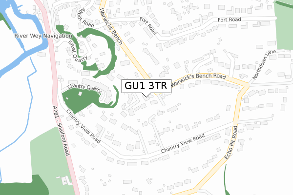
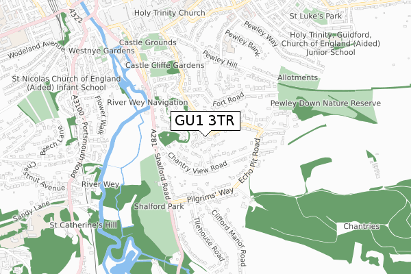
GU1 3TR lies on Warwicks Bench in Guildford. GU1 3TR is located in the Castle electoral ward, within the local authority district of Guildford and the English Parliamentary constituency of Guildford. The Sub Integrated Care Board (ICB) Location is NHS Surrey Heartlands ICB - 92A and the police force is Surrey. This postcode has been in use since January 1993.
GU1 3TR maps


Licence: Open Government Licence (requires attribution)
Attribution: Contains OS data © Crown copyright and database right 2025
Source: Open Postcode Geo
Licence: Open Government Licence (requires attribution)
Attribution: Contains OS data © Crown copyright and database right 2025; Contains Royal Mail data © Royal Mail copyright and database right 2025; Source: Office for National Statistics licensed under the Open Government Licence v.3.0
GU1 3TR geodata
| Easting | 500104 |
| Northing | 148725 |
| Latitude | 51.228945 |
| Longitude | -0.567724 |
Where is GU1 3TR?
| Street | Warwicks Bench |
| Town/City | Guildford |
| Country | England |
| Postcode District | GU1 |
GU1 3TR Elevation
Elevation or altitude of GU1 3TR as distance above sea level:
| Metres | Feet | |
|---|---|---|
| Elevation | 80m | 262ft |
Elevation is measured from the approximate centre of the postcode, to the nearest point on an OS contour line from OS Terrain 50, which has contour spacing of ten vertical metres.
➜ How high above sea level am I? Find the elevation of your current position using your device's GPS.
Politics
| Ward | Castle |
|---|---|
| Constituency | Guildford |
Transport
Nearest bus stops to GU1 3TR
| Great Quarry (Shalford Road) | Guildford | 359m |
| Great Quarry (Shalford Road) | Guildford | 390m |
| Pilgrims Way (Shalford Road) | Guildford | 440m |
| Pilgrims Way (Shalford Road) | Guildford | 466m |
| Millbrook | Guildford | 676m |
Nearest railway stations to GU1 3TR
| Guildford Station | 1.3km |
| London Road (Guildford) Station | 1.3km |
| Shalford (Surrey) Station | 1.6km |
Broadband
Broadband access in GU1 3TR (2020 data)
| Percentage of properties with Next Generation Access | 100.0% |
| Percentage of properties with Superfast Broadband | 100.0% |
| Percentage of properties with Ultrafast Broadband | 0.0% |
| Percentage of properties with Full Fibre Broadband | 0.0% |
Superfast Broadband is between 30Mbps and 300Mbps
Ultrafast Broadband is > 300Mbps
Broadband limitations in GU1 3TR (2020 data)
| Percentage of properties unable to receive 2Mbps | 0.0% |
| Percentage of properties unable to receive 5Mbps | 0.0% |
| Percentage of properties unable to receive 10Mbps | 0.0% |
| Percentage of properties unable to receive 30Mbps | 0.0% |
Deprivation
2.8% of English postcodes are less deprived than GU1 3TR:Food Standards Agency
Three nearest food hygiene ratings to GU1 3TR (metres)


➜ Get more ratings from the Food Standards Agency
Nearest post box to GU1 3TR
| Last Collection | |||
|---|---|---|---|
| Location | Mon-Fri | Sat | Distance |
| Warwicks Bench Road | 17:30 | 12:00 | 46m |
| Chantry View Road | 18:00 | 12:00 | 193m |
| Fort Road | 17:30 | 12:00 | 319m |
GU1 3TR ITL and GU1 3TR LAU
The below table lists the International Territorial Level (ITL) codes (formerly Nomenclature of Territorial Units for Statistics (NUTS) codes) and Local Administrative Units (LAU) codes for GU1 3TR:
| ITL 1 Code | Name |
|---|---|
| TLJ | South East (England) |
| ITL 2 Code | Name |
| TLJ2 | Surrey, East and West Sussex |
| ITL 3 Code | Name |
| TLJ25 | West Surrey |
| LAU 1 Code | Name |
| E07000209 | Guildford |
GU1 3TR census areas
The below table lists the Census Output Area (OA), Lower Layer Super Output Area (LSOA), and Middle Layer Super Output Area (MSOA) for GU1 3TR:
| Code | Name | |
|---|---|---|
| OA | E00155342 | |
| LSOA | E01030456 | Guildford 016D |
| MSOA | E02006359 | Guildford 016 |
Nearest postcodes to GU1 3TR
| GU1 3TX | Crown Heights | 61m |
| GU1 3XW | Chantry View Road | 128m |
| GU1 3TF | Warwicks Bench | 131m |
| GU1 3TG | Warwicks Bench | 136m |
| GU1 3AF | Chantry Quarry | 166m |
| GU1 3XT | Chantry View Road | 195m |
| GU1 3TL | Warwicks Bench Road | 211m |
| GU1 3XS | Chantry View Road | 218m |
| GU1 3TH | Wychelm Rise | 230m |
| GU1 3XR | Chantry View Road | 255m |