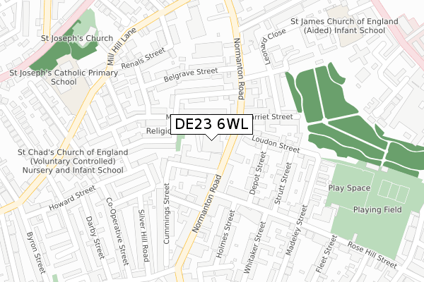
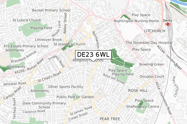
DE23 6WL lies on The Normanton Centre in Derby. DE23 6WL is located in the Arboretum electoral ward, within the unitary authority of Derby and the English Parliamentary constituency of Derby South. The Sub Integrated Care Board (ICB) Location is NHS Derby and Derbyshire ICB - 15M and the police force is Derbyshire. This postcode has been in use since December 1995.


GetTheData
Source: OS Open Zoomstack (Ordnance Survey)
Licence: Open Government Licence (requires attribution)
Attribution: Contains OS data © Crown copyright and database right 2025
Source: Open Postcode Geo
Licence: Open Government Licence (requires attribution)
Attribution: Contains OS data © Crown copyright and database right 2025; Contains Royal Mail data © Royal Mail copyright and database right 2025; Source: Office for National Statistics licensed under the Open Government Licence v.3.0
| Easting | 435218 |
| Northing | 335044 |
| Latitude | 52.911693 |
| Longitude | -1.477746 |
GetTheData
Source: Open Postcode Geo
Licence: Open Government Licence
| Street | The Normanton Centre |
| Town/City | Derby |
| Country | England |
| Postcode District | DE23 |
➜ See where DE23 is on a map ➜ Where is Derby? | |
GetTheData
Source: Land Registry Price Paid Data
Licence: Open Government Licence
Elevation or altitude of DE23 6WL as distance above sea level:
| Metres | Feet | |
|---|---|---|
| Elevation | 70m | 230ft |
Elevation is measured from the approximate centre of the postcode, to the nearest point on an OS contour line from OS Terrain 50, which has contour spacing of ten vertical metres.
➜ How high above sea level am I? Find the elevation of your current position using your device's GPS.
GetTheData
Source: Open Postcode Elevation
Licence: Open Government Licence
| Ward | Arboretum |
| Constituency | Derby South |
GetTheData
Source: ONS Postcode Database
Licence: Open Government Licence
UNIT 2, THE NORMANTON CENTRE, DERBY, DE23 6WL 2004 29 OCT £425,000 |
GetTheData
Source: HM Land Registry Price Paid Data
Licence: Contains HM Land Registry data © Crown copyright and database right 2025. This data is licensed under the Open Government Licence v3.0.
| Dashwood Street (Normanton Road) | Rose Hill | 55m |
| Dashwood Street (Normanton Road) | Rose Hill | 148m |
| Lower Dale Road (Normanton Road) | Rose Hill | 236m |
| Hartington Street (Normanton Road) | Rose Hill | 253m |
| Lower Dale Road (Normanton Road) | Rose Hill | 270m |
| Derby Station | 1.1km |
| Peartree Station | 1.7km |
| Spondon Station | 4.5km |
GetTheData
Source: NaPTAN
Licence: Open Government Licence
GetTheData
Source: ONS Postcode Database
Licence: Open Government Licence


➜ Get more ratings from the Food Standards Agency
GetTheData
Source: Food Standards Agency
Licence: FSA terms & conditions
| Last Collection | |||
|---|---|---|---|
| Location | Mon-Fri | Sat | Distance |
| Normanton Road Post Office | 17:30 | 12:00 | 150m |
| Howard Street | 17:30 | 10:30 | 280m |
| Mill Hill Lane, Derby | 17:30 | 10:30 | 282m |
GetTheData
Source: Dracos
Licence: Creative Commons Attribution-ShareAlike
The below table lists the International Territorial Level (ITL) codes (formerly Nomenclature of Territorial Units for Statistics (NUTS) codes) and Local Administrative Units (LAU) codes for DE23 6WL:
| ITL 1 Code | Name |
|---|---|
| TLF | East Midlands (England) |
| ITL 2 Code | Name |
| TLF1 | Derbyshire and Nottinghamshire |
| ITL 3 Code | Name |
| TLF11 | Derby |
| LAU 1 Code | Name |
| E06000015 | Derby |
GetTheData
Source: ONS Postcode Directory
Licence: Open Government Licence
The below table lists the Census Output Area (OA), Lower Layer Super Output Area (LSOA), and Middle Layer Super Output Area (MSOA) for DE23 6WL:
| Code | Name | |
|---|---|---|
| OA | E00068080 | |
| LSOA | E01013484 | Derby 018C |
| MSOA | E02002813 | Derby 018 |
GetTheData
Source: ONS Postcode Directory
Licence: Open Government Licence
| DE23 6WA | Normanton Road | 54m |
| DE23 6WH | Lyndhurst Street | 68m |
| DE23 6SN | Moore Street | 69m |
| DE23 6UT | Normanton Road | 93m |
| DE23 6SW | Dashwood Street | 98m |
| DE23 8ER | Loudon Street | 101m |
| DE23 6WD | Normanton Road | 103m |
| DE23 8ET | Depot Street | 117m |
| DE23 6SU | Dashwood Street | 121m |
| DE23 6SX | Bainbrigge Street | 124m |
GetTheData
Source: Open Postcode Geo; Land Registry Price Paid Data
Licence: Open Government Licence