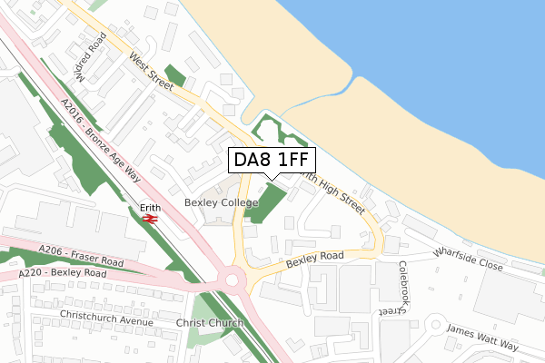
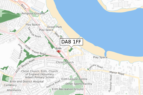
DA8 1FF is located in the Erith electoral ward, within the London borough of Bexley and the English Parliamentary constituency of Erith and Thamesmead. The Sub Integrated Care Board (ICB) Location is NHS South East London ICB - 72Q and the police force is Metropolitan Police. This postcode has been in use since June 2019.


GetTheData
Source: OS Open Zoomstack (Ordnance Survey)
Licence: Open Government Licence (requires attribution)
Attribution: Contains OS data © Crown copyright and database right 2025
Source: Open Postcode Geo
Licence: Open Government Licence (requires attribution)
Attribution: Contains OS data © Crown copyright and database right 2025; Contains Royal Mail data © Royal Mail copyright and database right 2025; Source: Office for National Statistics licensed under the Open Government Licence v.3.0
| Easting | 551377 |
| Northing | 178154 |
| Latitude | 51.482089 |
| Longitude | 0.178659 |
GetTheData
Source: Open Postcode Geo
Licence: Open Government Licence
| Country | England |
| Postcode District | DA8 |
➜ See where DA8 is on a map ➜ Where is Erith? | |
GetTheData
Source: Land Registry Price Paid Data
Licence: Open Government Licence
| Ward | Erith |
| Constituency | Erith And Thamesmead |
GetTheData
Source: ONS Postcode Database
Licence: Open Government Licence
| Erith Station West Street (Erith High Street) | Erith | 50m |
| Walnut Tree Road (Da8) (Walnut Tree Road) | Erith | 110m |
| Erith High Street | Erith | 150m |
| Erith Town Centre Riverside | Erith | 159m |
| Erith Town Centre Cross Street | Erith | 159m |
| Erith Station | 0.3km |
| Slade Green Station | 1.8km |
| Belvedere Station | 2.1km |
GetTheData
Source: NaPTAN
Licence: Open Government Licence
| Percentage of properties with Next Generation Access | 100.0% |
| Percentage of properties with Superfast Broadband | 100.0% |
| Percentage of properties with Ultrafast Broadband | 100.0% |
| Percentage of properties with Full Fibre Broadband | 100.0% |
Superfast Broadband is between 30Mbps and 300Mbps
Ultrafast Broadband is > 300Mbps
| Percentage of properties unable to receive 2Mbps | 0.0% |
| Percentage of properties unable to receive 5Mbps | 0.0% |
| Percentage of properties unable to receive 10Mbps | 0.0% |
| Percentage of properties unable to receive 30Mbps | 0.0% |
GetTheData
Source: Ofcom
Licence: Ofcom Terms of Use (requires attribution)
GetTheData
Source: ONS Postcode Database
Licence: Open Government Licence


➜ Get more ratings from the Food Standards Agency
GetTheData
Source: Food Standards Agency
Licence: FSA terms & conditions
| Last Collection | |||
|---|---|---|---|
| Location | Mon-Fri | Sat | Distance |
| Park Crescent | 17:30 | 11:00 | 575m |
| Lesney Park | 17:30 | 11:00 | 601m |
| Beechfield | 17:30 | 11:00 | 733m |
GetTheData
Source: Dracos
Licence: Creative Commons Attribution-ShareAlike
| Risk of DA8 1FF flooding from rivers and sea | Very Low |
| ➜ DA8 1FF flood map | |
GetTheData
Source: Open Flood Risk by Postcode
Licence: Open Government Licence
The below table lists the International Territorial Level (ITL) codes (formerly Nomenclature of Territorial Units for Statistics (NUTS) codes) and Local Administrative Units (LAU) codes for DA8 1FF:
| ITL 1 Code | Name |
|---|---|
| TLI | London |
| ITL 2 Code | Name |
| TLI5 | Outer London - East and North East |
| ITL 3 Code | Name |
| TLI51 | Bexley and Greenwich |
| LAU 1 Code | Name |
| E09000004 | Bexley |
GetTheData
Source: ONS Postcode Directory
Licence: Open Government Licence
The below table lists the Census Output Area (OA), Lower Layer Super Output Area (LSOA), and Middle Layer Super Output Area (MSOA) for DA8 1FF:
| Code | Name | |
|---|---|---|
| OA | E00166769 | |
| LSOA | E01000403 | Bexley 004A |
| MSOA | E02000068 | Bexley 004 |
GetTheData
Source: ONS Postcode Directory
Licence: Open Government Licence
| DA8 1SA | Saltford Close | 73m |
| DA8 1AE | West Street | 134m |
| DA8 1SB | Saltford Close | 137m |
| DA8 1GZ | Stonewood Road | 138m |
| DA8 1SF | Chichester Wharf | 166m |
| DA8 1SH | Bexley Road | 168m |
| DA8 1QY | Erith High Street | 171m |
| DA8 1BG | Chichester Wharf | 182m |
| DA8 1AD | Pleasant View | 200m |
| DA8 1TX | Cricketers Close | 208m |
GetTheData
Source: Open Postcode Geo; Land Registry Price Paid Data
Licence: Open Government Licence